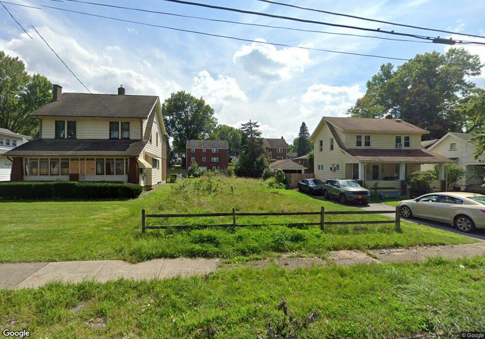
265 Potomac Ave Youngstown, OH 44507
Cottage Grove NeighborhoodEstimated Value: $31,000 - $55,960
3
Beds
1
Bath
1,300
Sq Ft
$36/Sq Ft
Est. Value
About This Home
This home is located at 265 Potomac Ave, Youngstown, OH 44507 and is currently estimated at $46,987, approximately $36 per square foot. 265 Potomac Ave is a home located in Mahoning County with nearby schools including Taft Elementary School, East High School, and Horizon Science Academy - Youngstown.
Ownership History
Date
Name
Owned For
Owner Type
Purchase Details
Closed on
Oct 3, 2017
Sold by
Meacham Ralph T
Bought by
Mahoning County Land Reutilizatiin Corp
Current Estimated Value
Purchase Details
Closed on
May 5, 2005
Sold by
Mays George
Bought by
Gillam Roger B and Gillam Gayle A
Home Financials for this Owner
Home Financials are based on the most recent Mortgage that was taken out on this home.
Original Mortgage
$24,310
Interest Rate
7.37%
Mortgage Type
Purchase Money Mortgage
Purchase Details
Closed on
May 20, 1991
Bought by
Mays Geo
Create a Home Valuation Report for This Property
The Home Valuation Report is an in-depth analysis detailing your home's value as well as a comparison with similar homes in the area
Home Values in the Area
Average Home Value in this Area
Purchase History
| Date | Buyer | Sale Price | Title Company |
|---|---|---|---|
| Mahoning County Land Reutilizatiin Corp | -- | None Available | |
| Gillam Roger B | $28,600 | -- | |
| Mays Geo | $28,000 | -- |
Source: Public Records
Mortgage History
| Date | Status | Borrower | Loan Amount |
|---|---|---|---|
| Previous Owner | Gillam Roger B | $24,310 |
Source: Public Records
Tax History Compared to Growth
Tax History
| Year | Tax Paid | Tax Assessment Tax Assessment Total Assessment is a certain percentage of the fair market value that is determined by local assessors to be the total taxable value of land and additions on the property. | Land | Improvement |
|---|---|---|---|---|
| 2024 | -- | $190 | $190 | -- |
| 2022 | $0 | $210 | $210 | $0 |
| 2021 | $453 | $210 | $210 | $0 |
| 2020 | $453 | $210 | $210 | $0 |
| 2019 | $453 | $190 | $190 | $0 |
| 2018 | $6 | $190 | $190 | $0 |
| 2017 | $755 | $3,570 | $640 | $2,930 |
| 2016 | $1,058 | $6,890 | $640 | $6,250 |
| 2015 | $944 | $6,890 | $640 | $6,250 |
| 2014 | $446 | $6,890 | $640 | $6,250 |
| 2013 | $440 | $6,890 | $640 | $6,250 |
Source: Public Records
Map
Nearby Homes
- 230 Clarencedale Ave
- 371 Potomac Ave
- 188 Clarencedale Ave
- 365 E Midlothian Blvd
- 3726 Sunset Blvd
- 3930 Sunset Dr
- 4038 Sunset Blvd
- 161 E Auburndale Ave
- 131 E Ravenwood Ave Unit 133
- 182 E Auburndale Ave
- 204 Lowell Ave
- 358 E Auburndale Ave
- 207 E Lucius Ave
- 116 Hilton Ave
- 537 Cambridge Ave
- 582 Roxbury Ave
- 703 E Judson Ave
- 144 Brooklyn Ave
- 123 E Boston Ave
- 3916 Howard St
- 261 Potomac Ave
- 273 Potomac Ave
- 257 Potomac Ave
- 275 Potomac Ave
- 253 Potomac Ave
- 279 Potomac Ave
- 283 Potomac Ave
- 272 Potomac Ave
- 268 Potomac Ave
- 246 E Midlothian Blvd
- 264 Potomac Ave
- 258 Potomac Ave
- 242 E Midlothian Blvd
- 260 Potomac Ave
- 249 Potomac Ave
- 258 E Midlothian Blvd
- 280 Potomac Ave
- 247 Potomac Ave
- 285 Potomac Ave
- 245 247 Potomac Ave