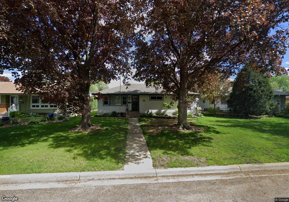
265 Stanley St Saint Paul, MN 55118
Estimated Value: $316,000 - $349,000
3
Beds
2
Baths
1,194
Sq Ft
$277/Sq Ft
Est. Value
About This Home
This home is located at 265 Stanley St, Saint Paul, MN 55118 and is currently estimated at $330,716, approximately $276 per square foot. 265 Stanley St is a home located in Dakota County with nearby schools including Moreland Arts & Health Sciences Magnet School, Heritage E-STEM Magnet School, and Two Rivers High School.
Ownership History
Date
Name
Owned For
Owner Type
Purchase Details
Closed on
Oct 16, 2009
Sold by
Rydzeski John S
Bought by
Robinson Kathleen and Robinson Byron E
Current Estimated Value
Home Financials for this Owner
Home Financials are based on the most recent Mortgage that was taken out on this home.
Original Mortgage
$157,102
Outstanding Balance
$102,742
Interest Rate
5.11%
Mortgage Type
Purchase Money Mortgage
Estimated Equity
$227,974
Create a Home Valuation Report for This Property
The Home Valuation Report is an in-depth analysis detailing your home's value as well as a comparison with similar homes in the area
Home Values in the Area
Average Home Value in this Area
Purchase History
| Date | Buyer | Sale Price | Title Company |
|---|---|---|---|
| Robinson Kathleen | $160,000 | -- |
Source: Public Records
Mortgage History
| Date | Status | Borrower | Loan Amount |
|---|---|---|---|
| Open | Robinson Kathleen | $157,102 |
Source: Public Records
Tax History Compared to Growth
Tax History
| Year | Tax Paid | Tax Assessment Tax Assessment Total Assessment is a certain percentage of the fair market value that is determined by local assessors to be the total taxable value of land and additions on the property. | Land | Improvement |
|---|---|---|---|---|
| 2024 | $3,642 | $302,500 | $67,200 | $235,300 |
| 2023 | $3,642 | $302,500 | $71,200 | $231,300 |
| 2022 | $3,088 | $288,900 | $70,900 | $218,000 |
| 2021 | $2,698 | $247,400 | $61,700 | $185,700 |
| 2020 | $2,604 | $218,400 | $58,800 | $159,600 |
| 2019 | $2,415 | $206,400 | $56,000 | $150,400 |
| 2018 | $2,214 | $185,500 | $52,300 | $133,200 |
| 2017 | $2,041 | $178,700 | $49,800 | $128,900 |
| 2016 | $2,113 | $161,100 | $45,300 | $115,800 |
| 2015 | $1,927 | $143,373 | $38,417 | $104,956 |
| 2014 | -- | $126,151 | $34,673 | $91,478 |
| 2013 | -- | $117,322 | $31,440 | $85,882 |
Source: Public Records
Map
Nearby Homes
- 254 Arion St E
- 1107 Oakdale Ave
- 272 Butler Ave E
- 316 Bernard St E
- 167 Butler Ave E
- 191 Altman Ct
- 1027 Christensen Ave
- 297 Hurley St E
- 151 Haskell St E
- 150 Westchester Dr
- 1243 Oakdale Ave
- 1252 Calumet Ave
- 447 Bernard St E
- 1251 Macarthur Ave
- 188 Wyoming St E
- 906 Christensen Ave
- 1076 Humboldt Ave
- 377 Winona St E
- 1084 Hall Ave
- 1616 Stickney Ave
- 271 Stanley St
- 261 Stanley St
- 265 265 Stanley St
- 266 266 Stanley-Street-
- 270 270 Stanley St E
- 260 260 Stanley St
- 255 Stanley St
- 277 Stanley St
- 264 Arion St E
- 268 Arion St E
- 254 254 Stanley St E
- 260 Arion St E
- 272 Arion St E
- 264 Arion St E
- 251 Stanley St
- 283 Stanley St
- 266 Stanley St
- 270 Stanley St
- 260 Stanley St
- 274 Arion St E