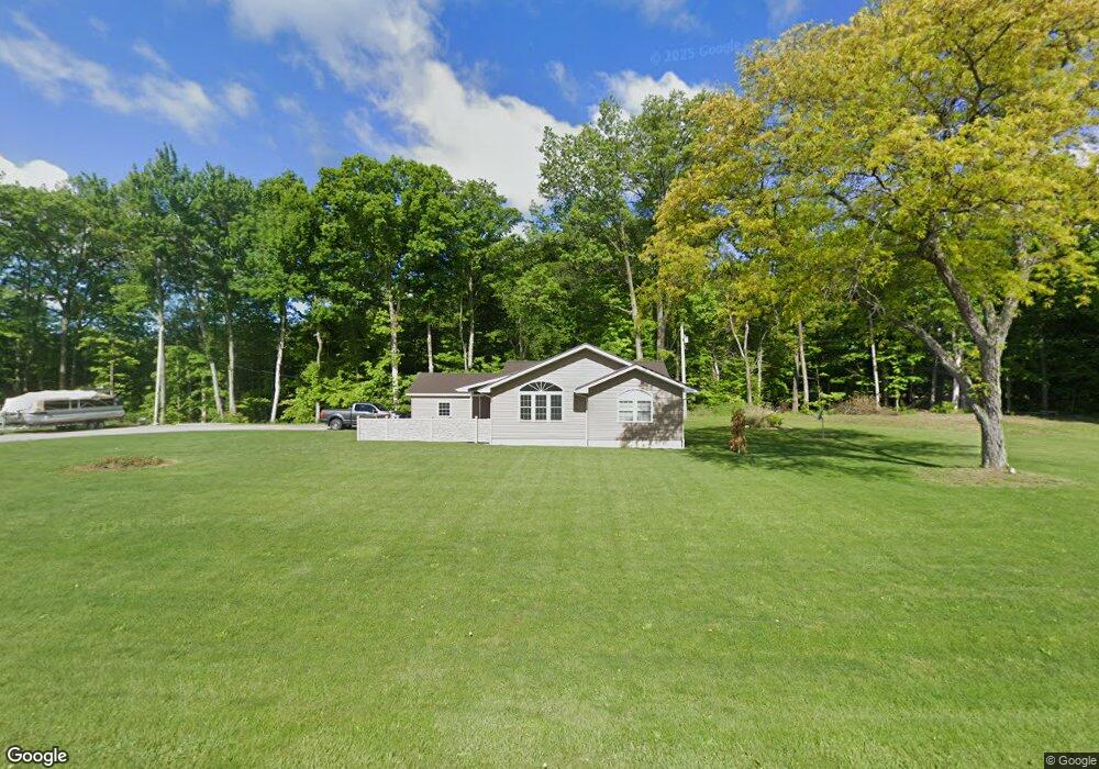
2651 Brown Rd Norwalk, OH 44857
Estimated Value: $265,582 - $344,000
2
Beds
2
Baths
2,093
Sq Ft
$143/Sq Ft
Est. Value
About This Home
This home is located at 2651 Brown Rd, Norwalk, OH 44857 and is currently estimated at $299,396, approximately $143 per square foot. 2651 Brown Rd is a home located in Huron County with nearby schools including Monroeville Elementary School, Monroeville High School, and St Joseph Catholic School.
Ownership History
Date
Name
Owned For
Owner Type
Purchase Details
Closed on
Nov 30, 2004
Bought by
Ott Lee M
Current Estimated Value
Purchase Details
Closed on
Mar 20, 2000
Bought by
Le Le W and Le Pauline C Haines
Purchase Details
Closed on
Mar 17, 2000
Bought by
Haines Pauline C
Purchase Details
Closed on
Oct 2, 1990
Bought by
Haines Pauline C
Create a Home Valuation Report for This Property
The Home Valuation Report is an in-depth analysis detailing your home's value as well as a comparison with similar homes in the area
Home Values in the Area
Average Home Value in this Area
Purchase History
| Date | Buyer | Sale Price | Title Company |
|---|---|---|---|
| Ott Lee M | $120,000 | -- | |
| Le Le W | -- | -- | |
| Haines Pauline C | -- | -- | |
| Haines Pauline C | -- | -- |
Source: Public Records
Tax History Compared to Growth
Tax History
| Year | Tax Paid | Tax Assessment Tax Assessment Total Assessment is a certain percentage of the fair market value that is determined by local assessors to be the total taxable value of land and additions on the property. | Land | Improvement |
|---|---|---|---|---|
| 2024 | $2,672 | $67,650 | $10,610 | $57,040 |
| 2023 | $2,672 | $55,420 | $8,810 | $46,610 |
| 2022 | $2,346 | $55,420 | $8,810 | $46,610 |
| 2021 | $2,292 | $55,420 | $8,810 | $46,610 |
| 2020 | $2,150 | $49,760 | $8,640 | $41,120 |
| 2019 | $2,137 | $49,760 | $8,640 | $41,120 |
| 2018 | $2,050 | $49,760 | $8,640 | $41,120 |
| 2017 | $1,430 | $35,500 | $8,560 | $26,940 |
| 2016 | $1,401 | $35,500 | $8,560 | $26,940 |
| 2015 | $1,433 | $35,510 | $8,570 | $26,940 |
| 2014 | $1,280 | $35,220 | $7,320 | $27,900 |
| 2013 | $1,368 | $35,220 | $7,320 | $27,900 |
Source: Public Records
Map
Nearby Homes
- 3170 Brown Rd
- 2163 Cole Creek Dr
- 280 W Main St
- 253 W Main St
- 144 Sycamore Dr
- 6 N West St
- 157 W Main St
- 40 Briarcrest Village
- 191 Briarcrest Dr
- 9 Eagle Creek Dr
- 21 Maple St
- 40 Norwood Ave
- 35 Eagle Creek Dr
- 12 Minard Place
- 27 Norwood Ave
- 15 W Chestnut St
- 102 N Pleasant St
- 160 Benedict Ave
- 29 W Seminary St
- 1180 Peru Hollow Rd