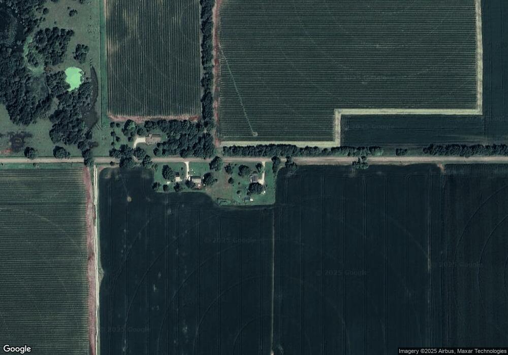
26543 Simpson Rd Mendon, MI 49072
Estimated Value: $178,240 - $268,000
Studio
--
Bath
2,146
Sq Ft
$104/Sq Ft
Est. Value
About This Home
This home is located at 26543 Simpson Rd, Mendon, MI 49072 and is currently estimated at $222,310, approximately $103 per square foot. 26543 Simpson Rd is a home located in St. Joseph County with nearby schools including Mendon Elementary School and Mendon Middle/High School.
Ownership History
Date
Name
Owned For
Owner Type
Purchase Details
Closed on
Jun 22, 2012
Sold by
Bank Of America Na
Bought by
Federal National Mortgage Association
Current Estimated Value
Purchase Details
Closed on
Oct 14, 2005
Sold by
Steinbarger Randall D
Bought by
Stienbarger Betty L
Home Financials for this Owner
Home Financials are based on the most recent Mortgage that was taken out on this home.
Original Mortgage
$87,000
Interest Rate
5.82%
Mortgage Type
Fannie Mae Freddie Mac
Purchase Details
Closed on
Jan 1, 1901
Create a Home Valuation Report for This Property
The Home Valuation Report is an in-depth analysis detailing your home's value as well as a comparison with similar homes in the area
Purchase History
| Date | Buyer | Sale Price | Title Company |
|---|---|---|---|
| Federal National Mortgage Association | -- | Vt | |
| Stienbarger Betty L | -- | Chicago Title Sturgis | |
| -- | -- | -- |
Source: Public Records
Mortgage History
| Date | Status | Borrower | Loan Amount |
|---|---|---|---|
| Previous Owner | Stienbarger Betty L | $87,000 |
Source: Public Records
Tax History Compared to Growth
Tax History
| Year | Tax Paid | Tax Assessment Tax Assessment Total Assessment is a certain percentage of the fair market value that is determined by local assessors to be the total taxable value of land and additions on the property. | Land | Improvement |
|---|---|---|---|---|
| 2025 | $392 | $72,800 | $8,600 | $64,200 |
| 2024 | $381 | $69,400 | $8,600 | $60,800 |
| 2023 | $363 | $59,300 | $6,500 | $52,800 |
| 2022 | $346 | $54,100 | $6,800 | $47,300 |
| 2021 | $679 | $49,200 | $7,000 | $42,200 |
| 2020 | $671 | $45,600 | $5,900 | $39,700 |
| 2019 | $325 | $44,300 | $5,900 | $38,400 |
| 2018 | $926 | $42,800 | $5,900 | $36,900 |
| 2017 | $901 | $40,000 | $40,000 | $0 |
| 2016 | -- | $38,400 | $38,400 | $0 |
| 2015 | -- | $37,900 | $0 | $0 |
| 2014 | -- | $35,800 | $35,800 | $0 |
| 2012 | -- | $30,800 | $30,800 | $0 |
Source: Public Records
Map
Nearby Homes
- Lot 04 S Shore Dr
- 25660 Simpson Rd
- 106 W State St
- 25642 Simpson Rd
- 235 N Nottawa St
- 206 Burr Oak St
- 218 W Jackson St
- 30315 Jacksonburg Rd
- 55637 Bennett Rd
- 23521 River Run Rd
- 26088 Wasepi Rd
- 54516 Silver St
- 23317 Michigan Ave
- 30879 Michigan 60
- 30725 Orla Engle Rd
- 52199 Nancy Ln
- 31688 W Colon Rd
- 22533 Davis Dr
- 31765 Michigan 60
- 0 S Farrand Unit 25051538
- 26479 Simpson Rd
- 26398 Simpson Rd
- 26324 S Shore Dr
- 26280 S Shore Dr
- 26260 S Shore Dr
- 26330 S Shore Dr
- 26250 Eldridge Dr
- 55377 Walterspaugh Rd
- 55035 Walterspaugh Rd
- 55063 Walterspaugh Rd
- 55485 Walterspaugh Rd
- 55071 Walterspaugh Rd
- 26389 S Shore Dr
- 26402 S Shore Dr
- 26392 S Shore Dr
- 26361 S Shore Dr
- 26182 S Shore Dr
- 26191 Simpson Rd
- 26216 S Shore Dr
- 26229 Simpson Rd
