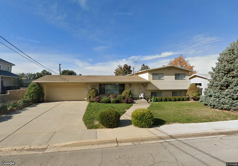
2655 N 930 E Provo, UT 84604
Rock Canyon NeighborhoodEstimated Value: $659,290 - $765,000
4
Beds
4
Baths
2,122
Sq Ft
$337/Sq Ft
Est. Value
About This Home
This home is located at 2655 N 930 E, Provo, UT 84604 and is currently estimated at $714,097, approximately $336 per square foot. 2655 N 930 E is a home located in Utah County with nearby schools including Rock Canyon Elementary School, Centennial Middle School, and Timpview High School.
Ownership History
Date
Name
Owned For
Owner Type
Purchase Details
Closed on
Dec 18, 2017
Sold by
Hall Karen V
Bought by
Hall Karen V and Karen V Hall Family Trust
Current Estimated Value
Purchase Details
Closed on
Apr 3, 2006
Sold by
Moore Ivy B
Bought by
Moore Ivy B and Moore Larry G
Purchase Details
Closed on
May 25, 2001
Sold by
Hawkins Virginia L and Glenn Hawkins D
Bought by
Amerifirst Foundation Inc
Purchase Details
Closed on
May 10, 2001
Sold by
Hawkins Virginia L and Glenn Hawkins D
Bought by
Amerifirst Foundation Inc
Purchase Details
Closed on
May 29, 2000
Sold by
Amerifirst Foundation Inc
Bought by
Hall Karen
Create a Home Valuation Report for This Property
The Home Valuation Report is an in-depth analysis detailing your home's value as well as a comparison with similar homes in the area
Home Values in the Area
Average Home Value in this Area
Purchase History
| Date | Buyer | Sale Price | Title Company |
|---|---|---|---|
| Hall Karen V | -- | None Available | |
| Moore Ivy B | -- | None Available | |
| Amerifirst Foundation Inc | -- | Provo Land Title Company | |
| Amerifirst Foundation Inc | -- | -- | |
| Hall Karen | -- | Provo Land Title Company |
Source: Public Records
Tax History
| Year | Tax Paid | Tax Assessment Tax Assessment Total Assessment is a certain percentage of the fair market value that is determined by local assessors to be the total taxable value of land and additions on the property. | Land | Improvement |
|---|---|---|---|---|
| 2025 | $3,453 | $326,810 | -- | -- |
| 2024 | $3,453 | $339,900 | $0 | $0 |
| 2023 | $3,345 | $324,555 | $0 | $0 |
| 2022 | $3,195 | $312,620 | $0 | $0 |
| 2021 | $2,555 | $436,000 | $177,600 | $258,400 |
| 2020 | $2,548 | $407,700 | $154,400 | $253,300 |
| 2019 | $2,252 | $374,700 | $154,400 | $220,300 |
| 2018 | $1,968 | $332,000 | $140,400 | $191,600 |
| 2017 | $1,906 | $176,770 | $0 | $0 |
| 2016 | $1,916 | $165,550 | $0 | $0 |
| 2015 | $1,695 | $148,060 | $0 | $0 |
| 2014 | $1,605 | $146,135 | $0 | $0 |
Source: Public Records
Map
Nearby Homes
- 788 E 2680 N
- 1108 E 2620 N
- 758 E 3030 N
- 3129 Cherokee Ln
- 2774 N 370 E
- 2848 Foothill Dr
- 3250 Mohawk Ln
- 2254 N 390 E
- 3025 N 250 E
- 240 E 2230 N Unit 7
- 2735 N Country Club Dr
- 5600 N Canyon Rd
- 1801 N 650 E
- 186 E 2100 N
- 182 E 2090 N
- 3013 N 100 W
- 3057 N 100 W
- 1960 N Canyon Rd
- 2939 N Marrcrest Dr W
- 2999 N Marrcrest West Dr
Your Personal Tour Guide
Ask me questions while you tour the home.