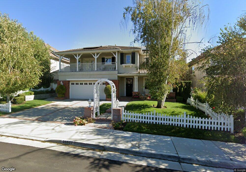
26557 Brooks Cir Stevenson Ranch, CA 91381
Estimated Value: $1,240,000 - $1,362,000
4
Beds
4
Baths
3,480
Sq Ft
$370/Sq Ft
Est. Value
About This Home
This home is located at 26557 Brooks Cir, Stevenson Ranch, CA 91381 and is currently estimated at $1,287,784, approximately $370 per square foot. 26557 Brooks Cir is a home located in Los Angeles County with nearby schools including Stevenson Ranch Elementary School, Rancho Pico Junior High School, and West Ranch High School.
Ownership History
Date
Name
Owned For
Owner Type
Purchase Details
Closed on
Aug 7, 2006
Sold by
Hall John M and Hall Judy M
Bought by
Hall John M
Current Estimated Value
Purchase Details
Closed on
Mar 10, 2000
Sold by
Centex Homes
Bought by
Hall John M
Home Financials for this Owner
Home Financials are based on the most recent Mortgage that was taken out on this home.
Original Mortgage
$331,450
Interest Rate
8.34%
Create a Home Valuation Report for This Property
The Home Valuation Report is an in-depth analysis detailing your home's value as well as a comparison with similar homes in the area
Home Values in the Area
Average Home Value in this Area
Purchase History
| Date | Buyer | Sale Price | Title Company |
|---|---|---|---|
| Hall John M | -- | None Available | |
| Hall John M | $414,500 | First American Title Co |
Source: Public Records
Mortgage History
| Date | Status | Borrower | Loan Amount |
|---|---|---|---|
| Previous Owner | Hall John M | $331,450 |
Source: Public Records
Tax History
| Year | Tax Paid | Tax Assessment Tax Assessment Total Assessment is a certain percentage of the fair market value that is determined by local assessors to be the total taxable value of land and additions on the property. | Land | Improvement |
|---|---|---|---|---|
| 2025 | $10,845 | $692,653 | $220,082 | $472,571 |
| 2024 | $10,845 | $679,072 | $215,767 | $463,305 |
| 2023 | $10,197 | $665,758 | $211,537 | $454,221 |
| 2022 | $10,001 | $652,705 | $207,390 | $445,315 |
| 2021 | $10,185 | $639,908 | $203,324 | $436,584 |
| 2019 | $10,675 | $620,931 | $197,295 | $423,636 |
| 2018 | $10,393 | $608,757 | $193,427 | $415,330 |
| 2016 | $9,858 | $585,120 | $185,917 | $399,203 |
| 2015 | $9,695 | $576,332 | $183,125 | $393,207 |
| 2014 | $9,752 | $565,043 | $179,538 | $385,505 |
Source: Public Records
Map
Nearby Homes
- 25531 Durant Place
- 26648 Shakespeare Ln
- 26750 Kendall Ln
- 26726 Wyatt Ln
- 25830 De Quincy Place
- 26231 Beecher Ln
- 26403 Ocasey Place
- 26837 Alcott Ct
- 25845 Flemming Place
- 26012 Franklin Ln
- 25530 Hemingway Ave
- 25640 Shaw Place
- 25666 Shaw Place
- 26013 Twain Place
- 25947 Stafford Canyon Rd Unit G
- 26024 Ohara Ln
- 26056 Ohara Ln
- 25803 Anderson Ln
- 25845 Anderson Ln
- 24981 Greensbrier Dr
- 26551 Brooks Cir
- 26561 Brooks Cir
- 25517 Durant Place
- 26543 Brooks Cir
- 26567 Brooks Cir
- 25511 Durant Place
- 25521 Durant Place
- 0 Brooks Cir Unit 166292
- 0 Brooks Cir Unit 166291
- 25505 Durant Place
- 26603 Brooks Cir
- 26537 Brooks Cir
- 26558 Brooks Cir
- 26552 Brooks Cir
- 25527 Durant Place
- 26566 Brooks Cir
- 26546 Brooks Cir
- 26602 Brooks Cir
- 26609 Brooks Cir
- 26529 Brooks Cir
Your Personal Tour Guide
Ask me questions while you tour the home.