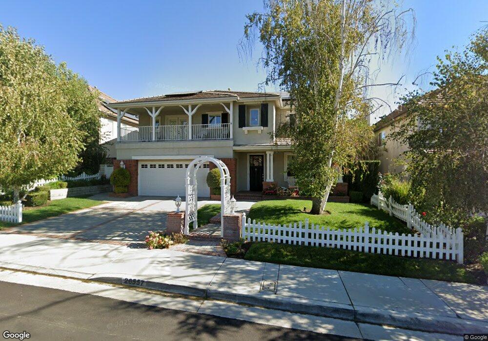
26557 Brooks Cir Stevenson Ranch, CA 91381
Estimated Value: $1,245,491 - $1,365,000
About This Home
This home is located at 26557 Brooks Cir, Stevenson Ranch, CA 91381 and is currently estimated at $1,315,623, approximately $378 per square foot. 26557 Brooks Cir is a home located in Los Angeles County with nearby schools including Stevenson Ranch Elementary School, Rancho Pico Junior High School, and West Ranch High School.
Ownership History
We collect this data history from publicly available records. To have your information removed, we recommend requesting removal directly through your county’s website.
Purchase Details
Purchase Details
Home Financials for this Owner
Home Financials are based on the most recent Mortgage that was taken out on this home.Home Values in the Area
Average Home Value in this Area
Purchase History
We collect this data history from publicly available records. To have your information removed, we recommend requesting removal directly through your county’s website.
| Date | Buyer | Sale Price | Title Company |
|---|---|---|---|
| -- | None Available | ||
| $414,500 | First American Title Co |
Mortgage History
We collect this data history from publicly available records. To have your information removed, we recommend requesting removal directly through your county’s website.
| Date | Status | Borrower | Loan Amount |
|---|---|---|---|
| Previous Owner | $331,450 |
Tax History
We collect this data history from publicly available records. To have your information removed, we recommend requesting removal directly through your county’s website.
| Year | Tax Paid | Tax Assessment Tax Assessment Total Assessment is a certain percentage of the fair market value that is determined by local assessors to be the total taxable value of land and additions on the property. | Land | Improvement |
|---|---|---|---|---|
| 2025 | $10,546 | $692,653 | $220,082 | $472,571 |
| 2024 | $10,845 | $679,072 | $215,767 | $463,305 |
| 2023 | $10,197 | $665,758 | $211,537 | $454,221 |
| 2022 | $10,001 | $652,705 | $207,390 | $445,315 |
| 2021 | $10,185 | $639,908 | $203,324 | $436,584 |
| 2019 | $10,675 | $620,931 | $197,295 | $423,636 |
| 2018 | $10,393 | $608,757 | $193,427 | $415,330 |
| 2016 | $9,858 | $585,120 | $185,917 | $399,203 |
| 2015 | $9,695 | $576,332 | $183,125 | $393,207 |
| 2014 | $9,752 | $565,043 | $179,538 | $385,505 |
Map
- 26525 Thackery Ln
- 26448 Beecher Ln
- 25730 Hawthorne Place
- 25656 Lewis Way
- 25716 Hood Way
- 25750 Wallace Place
- 26629 Campbell Ct
- 25696 Moore Ln
- 26876 Grey Place
- 25554 Hemingway Ave Unit A
- 26026 Potter Place
- 25530 Hemingway Ave
- 25654 Shaw Place
- 25906 Twain Place
- 26004 Twain Place
- 26044 Bates Place
- 26023 Salinger Ln
- 26056 Ohara Ln
- 25941 Verandah Ct
- 25533 Longfellow Place
- 26561 Brooks Cir
- 26567 Brooks Cir
- 0 Brooks Cir Unit 166292
- 0 Brooks Cir Unit 166291
- 26603 Brooks Cir
- 26551 Brooks Cir
- 25521 Durant Place
- 25517 Durant Place
- 26609 Brooks Cir
- 25511 Durant Place
- 26543 Brooks Cir
- 25527 Durant Place
- 26566 Brooks Cir
- 26558 Brooks Cir
- 26602 Brooks Cir
- 26552 Brooks Cir
- 25505 Durant Place
- 25602 Melville Ct
- 25606 Melville Ct
- 26615 Brooks Cir
Ask me questions while you tour the home.