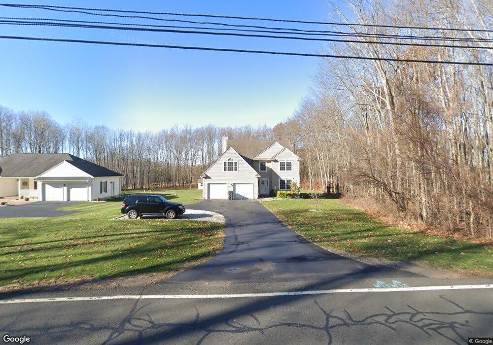
266 Broadbrook Rd Enfield, CT 06082
Estimated Value: $484,159 - $498,000
3
Beds
3
Baths
2,146
Sq Ft
$230/Sq Ft
Est. Value
About This Home
This home is located at 266 Broadbrook Rd, Enfield, CT 06082 and is currently estimated at $492,540, approximately $229 per square foot. 266 Broadbrook Rd is a home located in Hartford County with nearby schools including Nathan Hale Elementary School, Edgar H. Parkman School, and John F. Kennedy Middle School.
Ownership History
Date
Name
Owned For
Owner Type
Purchase Details
Closed on
Oct 28, 2010
Sold by
Reedy Michael
Bought by
Reedy Michael and Reedy Darlene
Current Estimated Value
Home Financials for this Owner
Home Financials are based on the most recent Mortgage that was taken out on this home.
Original Mortgage
$281,600
Outstanding Balance
$151,376
Interest Rate
4.39%
Mortgage Type
Purchase Money Mortgage
Estimated Equity
$341,164
Purchase Details
Closed on
Dec 21, 2001
Sold by
Somerset Homes Llc
Bought by
Reedy Michael
Home Financials for this Owner
Home Financials are based on the most recent Mortgage that was taken out on this home.
Original Mortgage
$204,000
Interest Rate
6.54%
Mortgage Type
Purchase Money Mortgage
Create a Home Valuation Report for This Property
The Home Valuation Report is an in-depth analysis detailing your home's value as well as a comparison with similar homes in the area
Home Values in the Area
Average Home Value in this Area
Purchase History
| Date | Buyer | Sale Price | Title Company |
|---|---|---|---|
| Reedy Michael | -- | -- | |
| Reedy Michael | $237,900 | -- |
Source: Public Records
Mortgage History
| Date | Status | Borrower | Loan Amount |
|---|---|---|---|
| Open | Reedy Michael | $58,100 | |
| Open | Reedy Michael | $281,600 | |
| Previous Owner | Reedy Michael | $260,000 | |
| Previous Owner | Reedy Michael | $204,000 |
Source: Public Records
Tax History Compared to Growth
Tax History
| Year | Tax Paid | Tax Assessment Tax Assessment Total Assessment is a certain percentage of the fair market value that is determined by local assessors to be the total taxable value of land and additions on the property. | Land | Improvement |
|---|---|---|---|---|
| 2025 | $8,394 | $239,900 | $61,100 | $178,800 |
| 2024 | $8,169 | $239,900 | $61,100 | $178,800 |
| 2023 | $8,109 | $239,900 | $61,100 | $178,800 |
| 2022 | $7,363 | $239,900 | $61,100 | $178,800 |
| 2021 | $7,684 | $204,750 | $52,720 | $152,030 |
| 2020 | $7,684 | $204,750 | $52,720 | $152,030 |
| 2019 | $7,705 | $204,750 | $52,720 | $152,030 |
| 2018 | $7,576 | $204,750 | $52,720 | $152,030 |
| 2017 | $7,152 | $204,750 | $52,720 | $152,030 |
| 2016 | $6,896 | $200,990 | $52,720 | $148,270 |
| 2015 | $6,681 | $200,990 | $52,720 | $148,270 |
| 2014 | $6,477 | $200,040 | $52,720 | $147,320 |
Source: Public Records
Map
Nearby Homes
- 0 Broad Brook Rd E Unit 24013150
- 0 Broad Brook Rd E Unit 170547863
- 0 Broad Brook Rd E Unit 170520594
- 269 Broadbrook Rd
- 263 Broad Brook Rd
- 272 Broadbrook Rd
- 273 Broadbrook Rd
- 260 Broad Brook Rd
- 274 Broadbrook Rd
- 257 Broadbrook Rd
- 277 Broadbrook Rd
- 278 Broadbrook Rd
- 281 Broadbrook Rd
- 280 Broadbrook Rd
- 282 Broadbrook Rd
- 253 Broadbrook Rd
- 250 Broadbrook Rd
- 283 Broadbrook Rd
- 284 Broadbrook Rd
- 251 Broadbrook Rd