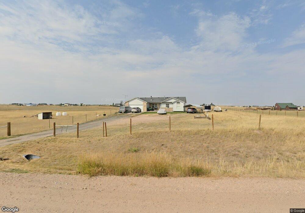
2662 Ford Rd Cheyenne, WY 82009
Estimated Value: $495,451 - $774,000
Studio
--
Bath
1,252
Sq Ft
$479/Sq Ft
Est. Value
About This Home
This home is located at 2662 Ford Rd, Cheyenne, WY 82009 and is currently estimated at $599,484, approximately $478 per square foot. 2662 Ford Rd is a home located in Laramie County with nearby schools including Prairie Wind Elementary School, McCormick Junior High School, and Central High School.
Ownership History
Date
Name
Owned For
Owner Type
Purchase Details
Closed on
May 21, 2004
Sold by
Carter Brothers Construction Inc
Bought by
Baluska Cameron L and Baluska Sarah K
Current Estimated Value
Home Financials for this Owner
Home Financials are based on the most recent Mortgage that was taken out on this home.
Original Mortgage
$175,750
Outstanding Balance
$84,886
Interest Rate
5.93%
Mortgage Type
Purchase Money Mortgage
Estimated Equity
$514,598
Create a Home Valuation Report for This Property
The Home Valuation Report is an in-depth analysis detailing your home's value as well as a comparison with similar homes in the area
Purchase History
| Date | Buyer | Sale Price | Title Company |
|---|---|---|---|
| Baluska Cameron L | -- | -- |
Source: Public Records
Mortgage History
| Date | Status | Borrower | Loan Amount |
|---|---|---|---|
| Open | Baluska Cameron L | $175,750 |
Source: Public Records
Tax History
| Year | Tax Paid | Tax Assessment Tax Assessment Total Assessment is a certain percentage of the fair market value that is determined by local assessors to be the total taxable value of land and additions on the property. | Land | Improvement |
|---|---|---|---|---|
| 2025 | $2,460 | $28,366 | $8,499 | $19,867 |
| 2024 | $2,460 | $36,607 | $11,332 | $25,275 |
| 2023 | $2,298 | $34,974 | $10,485 | $24,489 |
| 2022 | $2,167 | $32,262 | $10,485 | $21,777 |
| 2021 | $1,924 | $28,567 | $6,314 | $22,253 |
| 2020 | $1,828 | $27,224 | $6,150 | $21,074 |
| 2019 | $1,754 | $26,102 | $6,150 | $19,952 |
| 2018 | $1,529 | $22,982 | $5,655 | $17,327 |
| 2017 | $1,502 | $22,354 | $5,655 | $16,699 |
| 2016 | $1,443 | $21,466 | $5,444 | $16,022 |
| 2015 | $1,447 | $21,520 | $5,444 | $16,076 |
| 2014 | $1,477 | $21,825 | $5,444 | $16,381 |
Source: Public Records
Map
Nearby Homes
- Lot 6 Mccrae Rd
- 1696 N Pass Trail
- 6109 Crazy Horse Rd
- 1885 Studebaker Rd
- Tract 2 Battle Creek Blvd
- TBD Road 110
- TBD Charles Jake Ct
- Lot 4 Snowy Mountain Ct
- Tract 29 Wineglass Rd
- Tract 14 Wineglass Rd
- Tract 16 Wineglass Rd
- Tract 26 Seven Xl Ct
- Tract 15 Wineglass Rd
- Tract 13 Wineglass Rd
- Tract 5 Jk Trail
- Tract 38 Wineglass Rd
- Tract 2 Road 215
- Tract 3 Klipstein Rd
- Tract 6 Jk Trail
- Tract 17 Old Faithful Way
Your Personal Tour Guide
Ask me questions while you tour the home.