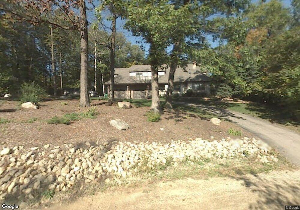
2665 88th Ct W Northfield, MN 55057
Estimated Value: $604,171 - $629,000
4
Beds
3
Baths
2,644
Sq Ft
$234/Sq Ft
Est. Value
About This Home
This home is located at 2665 88th Ct W, Northfield, MN 55057 and is currently estimated at $619,293, approximately $234 per square foot. 2665 88th Ct W is a home located in Rice County with nearby schools including Greenvale Park Elementary School, Northfield Middle School, and Northfield Senior High School.
Ownership History
Date
Name
Owned For
Owner Type
Purchase Details
Closed on
May 21, 2010
Sold by
Johnson Jeffrey N and Johnson Kristen K
Bought by
Geffers Nathan M and Geffers Rachel L
Current Estimated Value
Purchase Details
Closed on
Feb 25, 2005
Sold by
Hockin Robert J and Slatton Jody L
Bought by
Johnson Jeffrey N and Johnson Kristen K
Purchase Details
Closed on
Jul 30, 1999
Sold by
Feist Daniel M and Feist Jeanne M
Bought by
Hockin Robert J and Stalton Jody L
Create a Home Valuation Report for This Property
The Home Valuation Report is an in-depth analysis detailing your home's value as well as a comparison with similar homes in the area
Home Values in the Area
Average Home Value in this Area
Purchase History
| Date | Buyer | Sale Price | Title Company |
|---|---|---|---|
| Geffers Nathan M | $324,000 | -- | |
| Johnson Jeffrey N | $359,900 | -- | |
| Hockin Robert J | $240,000 | -- |
Source: Public Records
Tax History Compared to Growth
Tax History
| Year | Tax Paid | Tax Assessment Tax Assessment Total Assessment is a certain percentage of the fair market value that is determined by local assessors to be the total taxable value of land and additions on the property. | Land | Improvement |
|---|---|---|---|---|
| 2025 | $6,012 | $520,300 | $112,900 | $407,400 |
| 2024 | $6,012 | $481,500 | $98,200 | $383,300 |
| 2023 | $4,668 | $481,500 | $98,200 | $383,300 |
| 2022 | $4,446 | $423,900 | $86,400 | $337,500 |
| 2021 | $4,504 | $372,200 | $82,400 | $289,800 |
| 2020 | $4,472 | $357,500 | $82,400 | $275,100 |
| 2019 | $4,430 | $348,500 | $82,400 | $266,100 |
| 2018 | $4,344 | $335,700 | $82,400 | $253,300 |
| 2017 | $3,906 | $322,200 | $82,400 | $239,800 |
| 2016 | $3,946 | $320,200 | $82,400 | $237,800 |
| 2015 | $3,958 | $315,200 | $82,400 | $232,800 |
| 2014 | -- | $317,900 | $82,400 | $235,500 |
Source: Public Records
Map
Nearby Homes
- 2655 88th Ct W
- 8833 Canby Ct
- 2184 Bagley Way
- 8705 Chester Ave
- 1211 Lonsdale Blvd E
- 9816 Base Line Rd
- 7243 Hazelwood Ave
- 3299 Circle Bluff Trail
- XXX2 Circle Lake Ln
- XXX1 Circle Lake Ln
- Lot 2 Circle Lake Ln
- Lot 1 Circle Lake Ln
- 6415 Hazelwood Ave
- 9320 Elmore Ave
- 3920 3920 W 57th St
- 3920 57th St W
- 31125 Jamaica Ave
- 5561 115th St E
- 9038 Garfield Ave
- 4700 Dent Ave