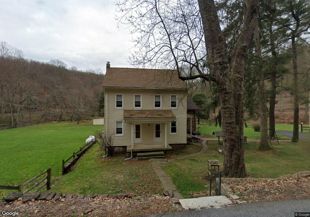
267 Yorkshire Rd Mohnton, PA 19540
Estimated Value: $447,000 - $509,000
3
Beds
2
Baths
1,456
Sq Ft
$332/Sq Ft
Est. Value
About This Home
This home is located at 267 Yorkshire Rd, Mohnton, PA 19540 and is currently estimated at $482,884, approximately $331 per square foot. 267 Yorkshire Rd is a home located in Berks County with nearby schools including Brecknock Elementary School, Governor Mifflin Intermediate School, and Governor Mifflin Middle School.
Ownership History
Date
Name
Owned For
Owner Type
Purchase Details
Closed on
Jun 12, 2025
Sold by
Stoudt Family Trust and Stoudt Kenneth L
Bought by
Zook Elam M and Zook Rebecca R
Current Estimated Value
Home Financials for this Owner
Home Financials are based on the most recent Mortgage that was taken out on this home.
Original Mortgage
$466,500
Outstanding Balance
$465,291
Interest Rate
6.76%
Mortgage Type
New Conventional
Estimated Equity
$17,593
Purchase Details
Closed on
Nov 5, 2001
Sold by
Stoudt Kenneth L and Stoudt Patricia A
Bought by
Stoudt Kenneth L and Stoudt Patricia A
Create a Home Valuation Report for This Property
The Home Valuation Report is an in-depth analysis detailing your home's value as well as a comparison with similar homes in the area
Home Values in the Area
Average Home Value in this Area
Purchase History
| Date | Buyer | Sale Price | Title Company |
|---|---|---|---|
| Zook Elam M | $495,000 | None Listed On Document | |
| Stoudt Kenneth L | -- | -- |
Source: Public Records
Mortgage History
| Date | Status | Borrower | Loan Amount |
|---|---|---|---|
| Open | Zook Elam M | $466,500 |
Source: Public Records
Tax History Compared to Growth
Tax History
| Year | Tax Paid | Tax Assessment Tax Assessment Total Assessment is a certain percentage of the fair market value that is determined by local assessors to be the total taxable value of land and additions on the property. | Land | Improvement |
|---|---|---|---|---|
| 2025 | $2,165 | $121,300 | $71,200 | $50,100 |
| 2024 | $5,581 | $121,300 | $71,200 | $50,100 |
| 2023 | $5,425 | $121,300 | $71,200 | $50,100 |
| 2022 | $5,289 | $121,300 | $71,200 | $50,100 |
| 2021 | $5,184 | $121,300 | $71,200 | $50,100 |
| 2020 | $5,184 | $121,300 | $71,200 | $50,100 |
| 2019 | $5,121 | $121,300 | $71,200 | $50,100 |
| 2018 | $5,029 | $121,300 | $71,200 | $50,100 |
| 2017 | $4,931 | $121,300 | $71,200 | $50,100 |
| 2016 | $1,763 | $121,300 | $71,200 | $50,100 |
| 2015 | $1,763 | $121,300 | $71,200 | $50,100 |
| 2014 | $1,763 | $121,300 | $71,200 | $50,100 |
Source: Public Records
Map
Nearby Homes
- 270 Gouglersville Rd
- 42 Adams St
- 306 Sycamore St
- 52 W Wyomissing Ave
- 165 Hillcrest Rd
- 28 N Church St
- 139 Hillcrest Rd
- 3 Monroe St
- 26 E Mohn St
- 13 E Summit St
- 614 Wolfe Ln
- 206 N Church St
- 140 S Church St
- 18 Front St
- 15 Lake St
- 120 E Wyomissing Ave
- 121 E Summit St
- 131 E Wyomissing Ave
- 665 Fairmont Ave
- 4430 New Holland Rd
- 283 Yorkshire Rd
- 205 Yorkshire Rd
- 869 Wyomissing Rd
- 983 Wyomissing Rd
- 877 Wyomissing Rd
- 177 Yorkshire Rd
- 505 Vermont Rd
- 171 Yorkshire Rd
- 868 Wyomissing Rd
- 163 Yorkshire Rd
- 864 Wyomissing Rd
- 36 Somerset Ln
- 79 Yorkshire Rd
- 568 Vermont Rd
- 116 Yorkshire Rd
- 564 Vermont Rd
- 6 Hampshire Rd
- 130 Clearfield Ln
- 552 Vermont Rd
- 552 Vermont Rd