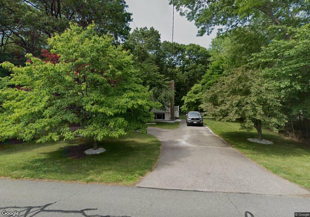
268 Branch St Mansfield, MA 02048
Estimated Value: $647,983 - $706,000
3
Beds
2
Baths
1,076
Sq Ft
$629/Sq Ft
Est. Value
About This Home
This home is located at 268 Branch St, Mansfield, MA 02048 and is currently estimated at $677,246, approximately $629 per square foot. 268 Branch St is a home located in Bristol County with nearby schools including Everett W. Robinson Elementary School, Jordan/Jackson Elementary School, and Harold L. Qualters Middle School.
Ownership History
Date
Name
Owned For
Owner Type
Purchase Details
Closed on
Jul 25, 2000
Sold by
Bullock Timothy D and Bullock Rosalia
Bought by
High Troy A
Current Estimated Value
Home Financials for this Owner
Home Financials are based on the most recent Mortgage that was taken out on this home.
Original Mortgage
$203,000
Interest Rate
8.28%
Mortgage Type
Purchase Money Mortgage
Purchase Details
Closed on
Nov 16, 1990
Sold by
Timesaver Rt
Bought by
Bullock Timothy D
Create a Home Valuation Report for This Property
The Home Valuation Report is an in-depth analysis detailing your home's value as well as a comparison with similar homes in the area
Home Values in the Area
Average Home Value in this Area
Purchase History
| Date | Buyer | Sale Price | Title Company |
|---|---|---|---|
| High Troy A | $218,000 | -- | |
| Bullock Timothy D | $142,800 | -- |
Source: Public Records
Mortgage History
| Date | Status | Borrower | Loan Amount |
|---|---|---|---|
| Open | Bullock Timothy D | $203,000 | |
| Closed | Bullock Timothy D | $203,000 | |
| Previous Owner | Bullock Timothy D | $124,000 | |
| Previous Owner | Bullock Timothy D | $125,000 |
Source: Public Records
Tax History Compared to Growth
Tax History
| Year | Tax Paid | Tax Assessment Tax Assessment Total Assessment is a certain percentage of the fair market value that is determined by local assessors to be the total taxable value of land and additions on the property. | Land | Improvement |
|---|---|---|---|---|
| 2025 | $7,121 | $540,700 | $243,900 | $296,800 |
| 2024 | $6,645 | $492,200 | $243,900 | $248,300 |
| 2023 | $6,490 | $460,600 | $243,900 | $216,700 |
| 2022 | $6,288 | $414,500 | $225,800 | $188,700 |
| 2021 | $6,040 | $393,200 | $197,700 | $195,500 |
| 2020 | $4,979 | $388,800 | $188,200 | $200,600 |
| 2019 | $5,440 | $357,400 | $156,800 | $200,600 |
| 2018 | $4,078 | $334,900 | $149,500 | $185,400 |
| 2017 | $3,979 | $334,000 | $145,300 | $188,700 |
| 2016 | $4,993 | $324,000 | $138,300 | $185,700 |
| 2015 | $4,624 | $298,300 | $138,300 | $160,000 |
Source: Public Records
Map
Nearby Homes
- 442 Ware St
- 460 Ware St
- 571 Ware St
- 28 Court St
- 82 Brook St
- 150 Rumford Ave Unit 110
- 22 Pleasant St Unit C
- 631 East St Unit E203
- 166 Chauncy St
- 18 Columbine Rd
- 212 Mill St
- 28 Angell St
- 44 Angell St Unit 44
- 15 Reservoir St Unit 44
- 277 Central St
- 619 N Main St
- 6 Erick Rd Unit 73
- 15 Rock Ln
- Lot 3 Birch Ln
- 151 Stearns Ave