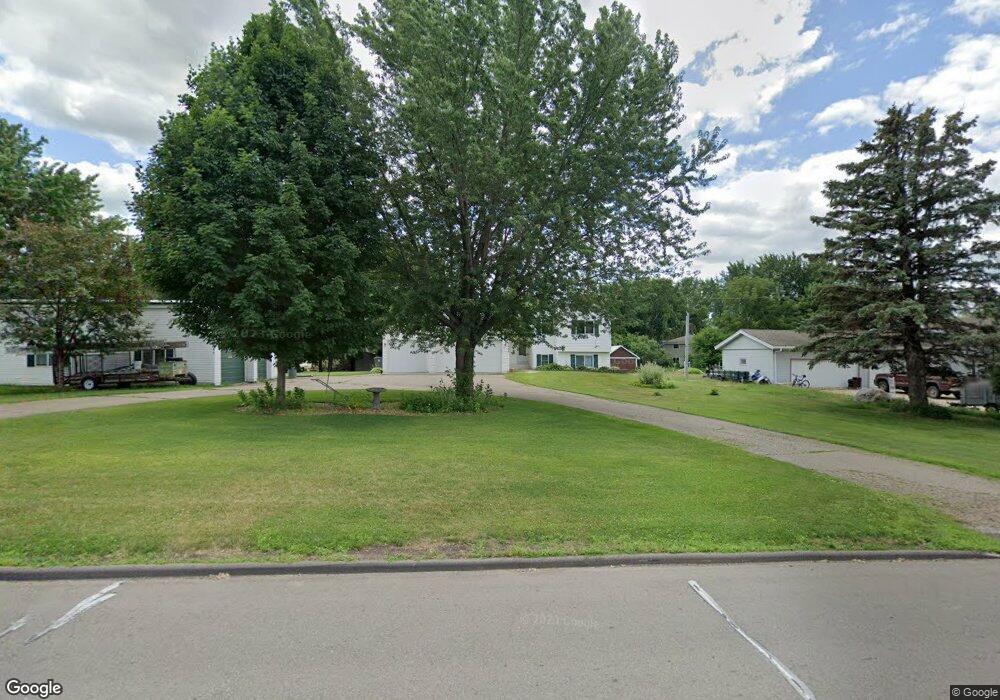
2685 133rd St W Shakopee, MN 55379
Estimated Value: $353,000 - $456,853
3
Beds
3
Baths
1,272
Sq Ft
$335/Sq Ft
Est. Value
About This Home
This home is located at 2685 133rd St W, Shakopee, MN 55379 and is currently estimated at $425,963, approximately $334 per square foot. 2685 133rd St W is a home located in Scott County with nearby schools including Sweeney Elementary School, East Middle School, and Shakopee Senior High School.
Ownership History
Date
Name
Owned For
Owner Type
Purchase Details
Closed on
Nov 10, 2000
Sold by
Petersen Mark C and Petersen Rosanne W
Bought by
Grone Randolph G
Current Estimated Value
Purchase Details
Closed on
Oct 19, 1999
Sold by
Monnens James R and Monnens Mary E
Bought by
Peterson Mark C and Peterson Rosenne W
Purchase Details
Closed on
Jan 21, 1998
Sold by
Hennen Victor L and Hennen Mary Ann
Bought by
Monnens James R and Monnens Mary E
Purchase Details
Closed on
Oct 29, 1997
Sold by
Hennen Victor L and Hennen Mary Ann
Bought by
Monnens James R and Monnens Michael J
Create a Home Valuation Report for This Property
The Home Valuation Report is an in-depth analysis detailing your home's value as well as a comparison with similar homes in the area
Home Values in the Area
Average Home Value in this Area
Purchase History
| Date | Buyer | Sale Price | Title Company |
|---|---|---|---|
| Grone Randolph G | $50,000 | -- | |
| Peterson Mark C | $43,000 | -- | |
| Monnens James R | $31,500 | -- | |
| Monnens James R | $31,500 | -- |
Source: Public Records
Mortgage History
| Date | Status | Borrower | Loan Amount |
|---|---|---|---|
| Closed | Monnens James R | -- |
Source: Public Records
Tax History Compared to Growth
Tax History
| Year | Tax Paid | Tax Assessment Tax Assessment Total Assessment is a certain percentage of the fair market value that is determined by local assessors to be the total taxable value of land and additions on the property. | Land | Improvement |
|---|---|---|---|---|
| 2025 | $3,072 | $452,300 | $202,400 | $249,900 |
| 2024 | $3,218 | $395,300 | $179,400 | $215,900 |
| 2023 | $3,168 | $396,400 | $179,400 | $217,000 |
| 2022 | $2,996 | $386,600 | $172,500 | $214,100 |
| 2021 | $2,704 | $313,100 | $125,000 | $188,100 |
| 2020 | $3,098 | $317,400 | $132,000 | $185,400 |
| 2019 | $3,144 | $311,600 | $128,300 | $183,300 |
| 2018 | $2,804 | $0 | $0 | $0 |
| 2016 | $2,886 | $0 | $0 | $0 |
Source: Public Records
Map
Nearby Homes
- 13756 Skyline Cir
- XXX Peregrine Cir
- 2155 Clearwater Terrace
- 2080 Aquarius Dr
- 2149 Clearwater Terrace
- 2206 La Tour Dr
- 2121 Clearwater Terrace
- 2079 Rainier Dr
- 2072 Aquarius Dr
- 2115 Clearwater Terrace
- 2071 Rainier Dr
- 2064 Aquarius Dr
- 2182 Latour Dr
- 2164 La Tour Dr
- 2063 Rainier Dr
- 2146 La Tour Dr
- 2205 Latour Dr
- 2128 La Tour Dr
- 2110 La Tour Dr