2685 Red Bird Trail Castle Rock, CO 80108
Terrain NeighborhoodEstimated Value: $761,003 - $859,000
4
Beds
4
Baths
4,973
Sq Ft
$161/Sq Ft
Est. Value
About This Home
This home is located at 2685 Red Bird Trail, Castle Rock, CO 80108 and is currently estimated at $801,751, approximately $161 per square foot. 2685 Red Bird Trail is a home located in Douglas County with nearby schools including Sage Canyon Elementary School, Mesa Middle School, and Douglas County High School.
Ownership History
Date
Name
Owned For
Owner Type
Purchase Details
Closed on
Jul 24, 2017
Sold by
Goodman David and Goodman Shelly
Bought by
2015 Golbert Family Trust
Current Estimated Value
Purchase Details
Closed on
Nov 24, 2014
Sold by
Lennar Colorado Llc
Bought by
Goodman David and Goodman Shelly
Home Financials for this Owner
Home Financials are based on the most recent Mortgage that was taken out on this home.
Original Mortgage
$455,078
Interest Rate
3.99%
Mortgage Type
VA
Purchase Details
Closed on
Jun 9, 2010
Sold by
Colorado Castle Oaks Return Llc
Bought by
Slv Castle Oaks Llc
Purchase Details
Closed on
Feb 2, 2010
Sold by
Castle Oaks Estates Llc & Autumn Sage De
Bought by
Colorado Castle Oaks Return Llc
Create a Home Valuation Report for This Property
The Home Valuation Report is an in-depth analysis detailing your home's value as well as a comparison with similar homes in the area
Home Values in the Area
Average Home Value in this Area
Purchase History
| Date | Buyer | Sale Price | Title Company |
|---|---|---|---|
| 2015 Golbert Family Trust | $506,500 | Guardian Title | |
| Goodman David | $455,000 | North American Title | |
| Slv Castle Oaks Llc | $16,500,000 | -- | |
| Colorado Castle Oaks Return Llc | -- | -- |
Source: Public Records
Mortgage History
| Date | Status | Borrower | Loan Amount |
|---|---|---|---|
| Previous Owner | Goodman David | $455,078 |
Source: Public Records
Tax History Compared to Growth
Tax History
| Year | Tax Paid | Tax Assessment Tax Assessment Total Assessment is a certain percentage of the fair market value that is determined by local assessors to be the total taxable value of land and additions on the property. | Land | Improvement |
|---|---|---|---|---|
| 2024 | $5,432 | $53,650 | $14,770 | $38,880 |
| 2023 | $5,480 | $53,650 | $14,770 | $38,880 |
| 2022 | $4,268 | $36,750 | $9,480 | $27,270 |
| 2021 | $4,426 | $36,750 | $9,480 | $27,270 |
| 2020 | $4,358 | $37,060 | $7,850 | $29,210 |
| 2019 | $4,370 | $37,060 | $7,850 | $29,210 |
| 2018 | $4,056 | $33,490 | $7,270 | $26,220 |
| 2017 | $4,019 | $33,490 | $7,270 | $26,220 |
| 2016 | $3,758 | $32,270 | $7,050 | $25,220 |
| 2015 | $3,819 | $32,270 | $7,050 | $25,220 |
| 2014 | $688 | $5,530 | $5,530 | $0 |
Source: Public Records
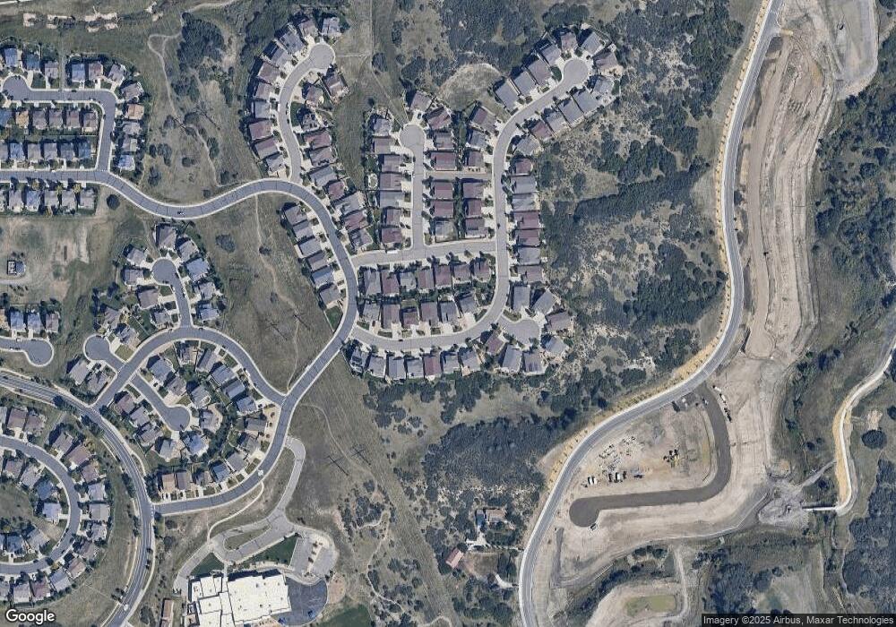
Map
Nearby Homes
- 2673 Red Bird Trail
- 2707 Red Bird Trail
- 4078 Whitewing Ln
- 4054 Whitewing Ln
- 4110 Whitewing Ln
- 4144 Whitewing Ln
- 2680 Red Bird Trail
- 4012 Whitewing Ln
- 4154 Red Bird Ct
- 2674 Red Bird Trail
- 2645 Red Bird Trail
- 2668 Red Bird Trail
- 3988 Whitewing Ln
- 4155 Red Bird Ct
- 4162 Red Bird Ct
- 2652 Red Bird Trail
- 2641 Red Bird Trail
- 2756 Whitewing Way
- 3964 Whitewing Ln
- 2759 Red Bird Trail