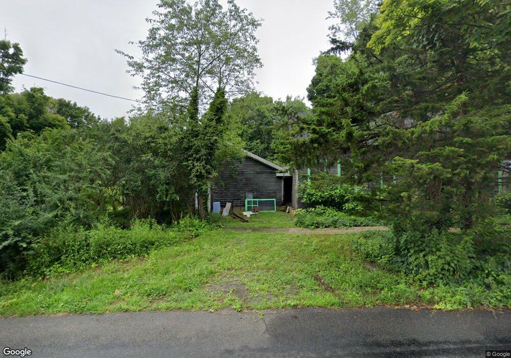
269 Howd Rd Durham, CT 06422
Estimated Value: $259,292 - $327,000
1
Bed
1
Bath
947
Sq Ft
$314/Sq Ft
Est. Value
About This Home
This home is located at 269 Howd Rd, Durham, CT 06422 and is currently estimated at $297,073, approximately $313 per square foot. 269 Howd Rd is a home located in Middlesex County with nearby schools including Frank Ward Strong School, Coginchaug Regional High School, and Yeshiva Gedolah of Waterbury- Mesivta Durham.
Ownership History
Date
Name
Owned For
Owner Type
Purchase Details
Closed on
Apr 8, 2025
Sold by
William Kent Foundation T and Miller
Bought by
William Kent Art Fndtn In
Current Estimated Value
Purchase Details
Closed on
Nov 15, 2013
Sold by
Arthur B Baer T B and Arthur Baer
Bought by
Arthur B Baer T B and Arthur Baer
Purchase Details
Closed on
Apr 9, 2008
Sold by
Kent William
Bought by
William Kent Ret
Purchase Details
Closed on
Feb 26, 2008
Sold by
William Kent T and William Miller
Bought by
Ruta Johnes and Fkieta Joseph
Create a Home Valuation Report for This Property
The Home Valuation Report is an in-depth analysis detailing your home's value as well as a comparison with similar homes in the area
Home Values in the Area
Average Home Value in this Area
Purchase History
| Date | Buyer | Sale Price | Title Company |
|---|---|---|---|
| William Kent Art Fndtn In | -- | None Available | |
| William Kent Art Fndtn In | -- | None Available | |
| Arthur B Baer T B | -- | -- | |
| Arthur B Baer T | -- | -- | |
| William Kent Ret | -- | -- | |
| William Kent Ret | -- | -- | |
| Ruta Johnes | -- | None Available | |
| Ruta Johnes | -- | None Available |
Source: Public Records
Tax History
| Year | Tax Paid | Tax Assessment Tax Assessment Total Assessment is a certain percentage of the fair market value that is determined by local assessors to be the total taxable value of land and additions on the property. | Land | Improvement |
|---|---|---|---|---|
| 2025 | $4,559 | $121,940 | $83,840 | $38,100 |
| 2024 | $4,353 | $121,940 | $83,860 | $38,080 |
| 2023 | $4,241 | $121,940 | $83,860 | $38,080 |
| 2022 | $4,215 | $121,940 | $83,860 | $38,080 |
| 2021 | $4,336 | $121,940 | $83,860 | $38,080 |
| 2020 | $3,980 | $111,230 | $84,420 | $26,810 |
| 2019 | $3,992 | $111,230 | $84,420 | $26,810 |
| 2018 | $4,060 | $111,230 | $84,420 | $26,810 |
| 2017 | $4,394 | $111,230 | $84,420 | $26,810 |
| 2016 | $3,928 | $111,230 | $84,420 | $26,810 |
| 2015 | $4,384 | $129,920 | $103,810 | $26,110 |
| 2014 | $4,316 | $129,920 | $103,810 | $26,110 |
Source: Public Records
Map
Nearby Homes
- 121R Stage Coach Rd
- 15r Clark Rd
- 0 Dinatale Dr
- 52 Skylark Dr
- 148 & 153 Wallingford Rd
- 4 Jans Way
- 24 Evergreen Rd
- 16 Marie Ln
- 126 Cooke Rd
- 148 Wallingford Rd
- 153 Wallingford Rd
- 245 Reeds Gap Rd
- 246 Reeds Gap Rd Unit 1D
- 1039 Durham Rd
- 268 Main St
- 46 Cliffside Dr
- 36 Maiden Ln
- 4365 Durham Rd
- 27 Tamarac Swamp Rd
- 204 Old Blue Hills Rd
Your Personal Tour Guide
Ask me questions while you tour the home.