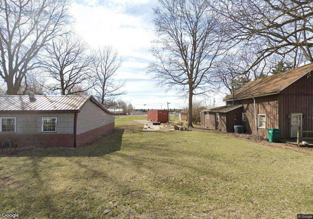
269 W North St Niantic, IL 62551
Estimated Value: $60,289 - $130,000
--
Bed
--
Bath
--
Sq Ft
6,011
Sq Ft Lot
About This Home
This home is located at 269 W North St, Niantic, IL 62551 and is currently estimated at $84,322. 269 W North St is a home located in Macon County.
Ownership History
Date
Name
Owned For
Owner Type
Purchase Details
Closed on
Jun 28, 2021
Sold by
Stahl Dan and Miller Carol S
Bought by
Miller Carol S
Current Estimated Value
Purchase Details
Closed on
Jul 2, 2010
Sold by
Christopher Clarence L and Christopher Grace Ann
Bought by
Stahl Dan and Stahl Carol
Home Financials for this Owner
Home Financials are based on the most recent Mortgage that was taken out on this home.
Original Mortgage
$53,302
Interest Rate
4.83%
Mortgage Type
Future Advance Clause Open End Mortgage
Create a Home Valuation Report for This Property
The Home Valuation Report is an in-depth analysis detailing your home's value as well as a comparison with similar homes in the area
Home Values in the Area
Average Home Value in this Area
Purchase History
| Date | Buyer | Sale Price | Title Company |
|---|---|---|---|
| Miller Carol S | -- | None Available | |
| Stahl Dan | $10,000 | None Available |
Source: Public Records
Mortgage History
| Date | Status | Borrower | Loan Amount |
|---|---|---|---|
| Previous Owner | Stahl Dan | $53,302 |
Source: Public Records
Tax History Compared to Growth
Tax History
| Year | Tax Paid | Tax Assessment Tax Assessment Total Assessment is a certain percentage of the fair market value that is determined by local assessors to be the total taxable value of land and additions on the property. | Land | Improvement |
|---|---|---|---|---|
| 2024 | $151 | $1,784 | $1,670 | $114 |
| 2023 | $144 | $1,725 | $1,615 | $110 |
| 2022 | $179 | $2,069 | $1,493 | $576 |
| 2021 | $176 | $1,965 | $1,418 | $547 |
| 2020 | $169 | $1,852 | $1,336 | $516 |
| 2019 | $169 | $1,852 | $1,336 | $516 |
| 2018 | $166 | $1,808 | $1,304 | $504 |
| 2017 | $169 | $1,815 | $1,309 | $506 |
| 2016 | $170 | $1,812 | $1,307 | $505 |
| 2015 | $163 | $1,759 | $1,269 | $490 |
| 2014 | $157 | $1,741 | $1,256 | $485 |
| 2013 | $175 | $1,741 | $1,256 | $485 |
Source: Public Records
Map
Nearby Homes
- 0 Bill Wall Dr
- 1359 S Bridge Rd
- 13505 W Long Point Rd
- 120 8th St Unit 1
- 709 Louisa St
- 420 6th St
- 414 5th St
- 275 N Camp St
- 7625 W William St
- 0 W Wood St
- 116 N Moore St Unit 1
- 0 W Harristown Blvd Unit 6251050
- 113 Prairie Run
- 5595 W Main St
- 3247 Nevada Rd
- 3335 Nevada Rd
- 5180 W Cantrell St
- 445 S Wyckles Rd
- 1955 E 2700 Rd N
- 210 N Kiick St