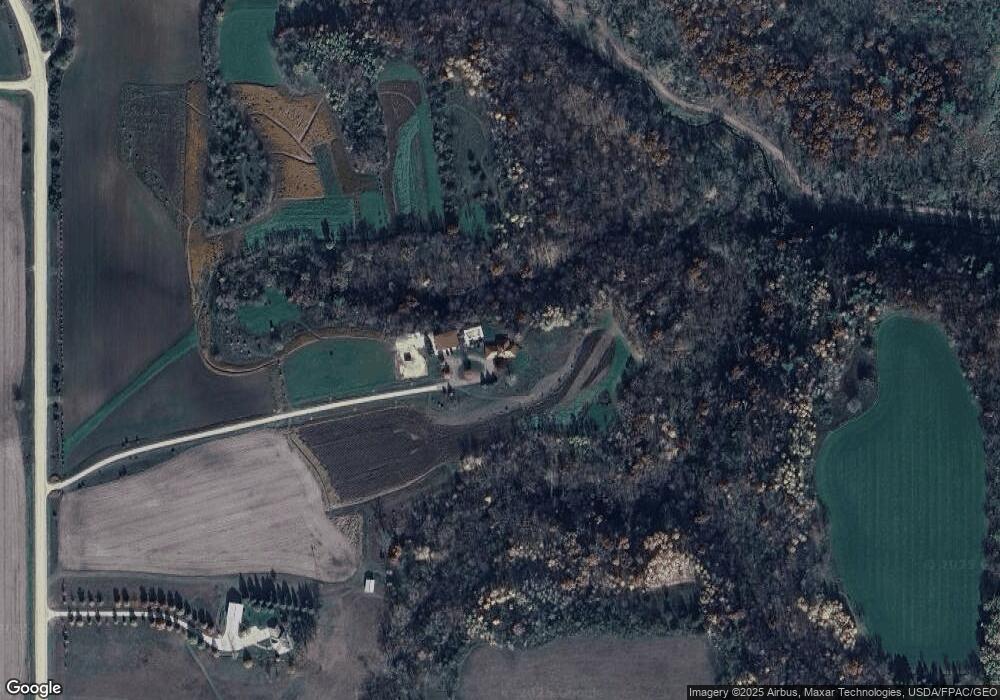
26900 Michael Ave Cannon Falls, MN 55009
Estimated Value: $749,000 - $1,157,335
4
Beds
3
Baths
3,846
Sq Ft
$258/Sq Ft
Est. Value
About This Home
This home is located at 26900 Michael Ave, Cannon Falls, MN 55009 and is currently estimated at $993,584, approximately $258 per square foot. 26900 Michael Ave is a home located in Dakota County with nearby schools including Cannon Falls Elementary School and Cannon Falls High School and Middle School.
Ownership History
Date
Name
Owned For
Owner Type
Purchase Details
Closed on
Mar 17, 2020
Sold by
Kornmiller Susan and Ellison Daniel
Bought by
Fogle Nicholas D and Fogle Jaime L
Current Estimated Value
Home Financials for this Owner
Home Financials are based on the most recent Mortgage that was taken out on this home.
Original Mortgage
$510,400
Outstanding Balance
$451,170
Interest Rate
3.4%
Mortgage Type
New Conventional
Estimated Equity
$542,414
Create a Home Valuation Report for This Property
The Home Valuation Report is an in-depth analysis detailing your home's value as well as a comparison with similar homes in the area
Home Values in the Area
Average Home Value in this Area
Purchase History
| Date | Buyer | Sale Price | Title Company |
|---|---|---|---|
| Fogle Nicholas D | $937,000 | Dca Title |
Source: Public Records
Mortgage History
| Date | Status | Borrower | Loan Amount |
|---|---|---|---|
| Open | Fogle Nicholas D | $510,400 |
Source: Public Records
Tax History Compared to Growth
Tax History
| Year | Tax Paid | Tax Assessment Tax Assessment Total Assessment is a certain percentage of the fair market value that is determined by local assessors to be the total taxable value of land and additions on the property. | Land | Improvement |
|---|---|---|---|---|
| 2024 | $4,472 | $954,400 | $428,700 | $525,700 |
| 2023 | $4,472 | $924,400 | $408,900 | $515,500 |
| 2022 | $3,848 | $789,900 | $360,500 | $429,400 |
| 2021 | $3,890 | $756,000 | $344,700 | $411,300 |
| 2020 | $3,404 | $719,100 | $328,400 | $390,700 |
| 2019 | $3,249 | $661,900 | $311,100 | $350,800 |
| 2018 | $3,826 | $617,000 | $312,500 | $304,500 |
| 2017 | $3,691 | $634,300 | $323,400 | $310,900 |
| 2016 | $3,857 | $650,100 | $347,300 | $302,800 |
| 2015 | $3,524 | $639,537 | $345,937 | $293,600 |
| 2014 | -- | $630,054 | $343,306 | $286,748 |
| 2013 | -- | $625,728 | $324,306 | $301,422 |
Source: Public Records
Map
Nearby Homes
- 10981 270th St E
- 29615 90th Avenue Way
- 29615 90th Ave Way
- 405 Sunflower Ct
- TBD 250thn St E
- 205 Evergreen Dr E
- 30245 130th Ave
- 102 Bavarian Cir
- 212 Ridgecrest Dr
- 100 Barkley Cir W
- 30400 72nd Avenue Way
- 30410 72nd Avenue Way
- Everleigh Plan at Hardwood Estates - Single Family Lots
- St. Charles Plan at Hardwood Estates - Single Family Lots
- Cottonwood II Plan at Hardwood Estates - Single Family Lots
- Boardwalk Plan at Hardwood Estates - Single Family Lots
- Oakwood Plan at Hardwood Estates - Single Family Lots
- Bellefonte Plan at Hardwood Estates - Single Family Lots
- Tennessee Plan at Hardwood Estates - Single Family Lots
- Poplar Plan at Hardwood Estates - Single Family Lots
- 26980 Michael Ave
- 26610 Miesville Trail
- XXX Michael Ave
- 14045 272nd St E
- 13442 270th St E
- 14015 272nd St E
- 26675 Miesville Trail
- 26565 Nicolai Ave
- 13204 270th St E
- 26140 Miesville Trail
- 14050 272nd St E
- 26253 Miesville Trail
- 26255 Miesville Trail
- 26251 Miesville Trail
- 26132 Miesville Trail
- 26455 Nicolai Ave
- 26662 Nicolai Ave
- 26287 Miesville Trail
- 26249 Miesville Trail
- 26245 Miesville Trail
