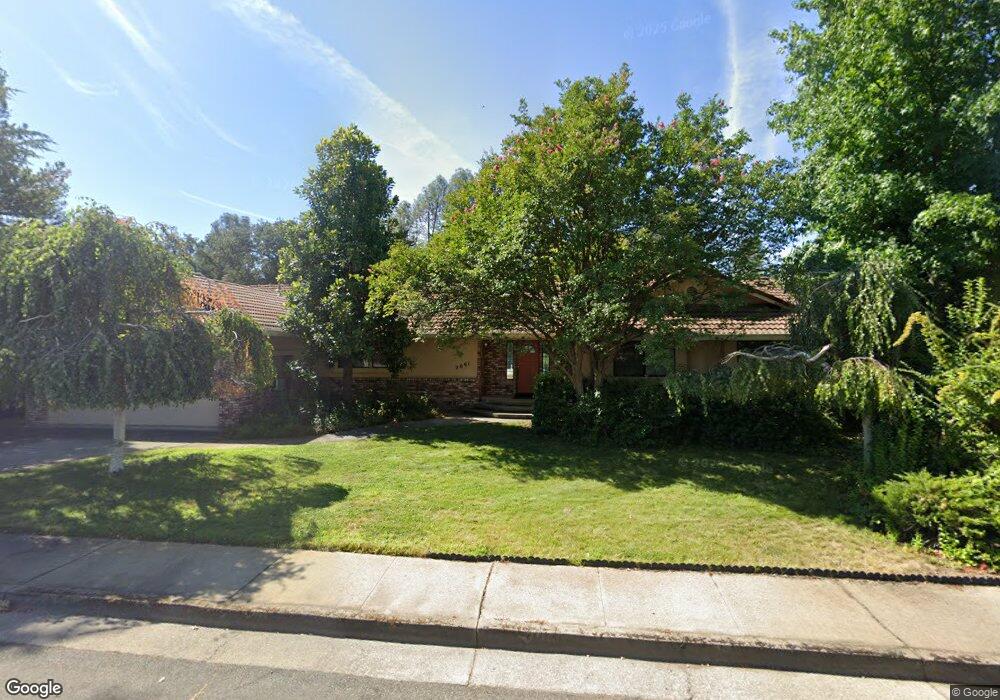
2691 Lake Redding Dr Unit 1 Redding, CA 96003
Lake Redding NeighborhoodEstimated Value: $455,000 - $484,000
3
Beds
3
Baths
2,010
Sq Ft
$232/Sq Ft
Est. Value
About This Home
This home is located at 2691 Lake Redding Dr Unit 1, Redding, CA 96003 and is currently estimated at $465,600, approximately $231 per square foot. 2691 Lake Redding Dr Unit 1 is a home located in Shasta County with nearby schools including Turtle Bay, Sequoia Middle School, and Shasta High School.
Ownership History
Date
Name
Owned For
Owner Type
Purchase Details
Closed on
May 14, 2022
Sold by
Oconnor and Judy
Bought by
Oconnor Family Trust
Current Estimated Value
Purchase Details
Closed on
May 21, 1998
Sold by
Johnson Carol J 1992 Rev Trst
Bought by
Oconnor Richard and Oconnor Judy
Home Financials for this Owner
Home Financials are based on the most recent Mortgage that was taken out on this home.
Original Mortgage
$135,950
Interest Rate
7.17%
Mortgage Type
Purchase Money Mortgage
Create a Home Valuation Report for This Property
The Home Valuation Report is an in-depth analysis detailing your home's value as well as a comparison with similar homes in the area
Home Values in the Area
Average Home Value in this Area
Purchase History
| Date | Buyer | Sale Price | Title Company |
|---|---|---|---|
| Oconnor Family Trust | -- | None Listed On Document | |
| Oconnor Richard | $170,000 | First American Title Co |
Source: Public Records
Mortgage History
| Date | Status | Borrower | Loan Amount |
|---|---|---|---|
| Previous Owner | Oconnor Richard | $135,950 |
Source: Public Records
Tax History
| Year | Tax Paid | Tax Assessment Tax Assessment Total Assessment is a certain percentage of the fair market value that is determined by local assessors to be the total taxable value of land and additions on the property. | Land | Improvement |
|---|---|---|---|---|
| 2025 | $2,814 | $271,255 | $95,788 | $175,467 |
| 2024 | $2,771 | $265,937 | $93,910 | $172,027 |
| 2023 | $2,771 | $260,723 | $92,069 | $168,654 |
| 2022 | $2,725 | $255,612 | $90,264 | $165,348 |
| 2021 | $2,712 | $250,601 | $88,495 | $162,106 |
| 2020 | $2,748 | $248,032 | $87,588 | $160,444 |
| 2019 | $2,609 | $243,170 | $85,871 | $157,299 |
| 2018 | $2,632 | $238,403 | $84,188 | $154,215 |
| 2017 | $2,618 | $233,730 | $82,538 | $151,192 |
| 2016 | $2,535 | $229,148 | $80,920 | $148,228 |
| 2015 | $2,503 | $225,707 | $79,705 | $146,002 |
| 2014 | $2,486 | $221,287 | $78,144 | $143,143 |
Source: Public Records
Map
Nearby Homes
- 310 Overhill Dr
- 2520 Snow Ln
- 531 Aurora Place
- 582 River Oaks Dr
- 802 Palatine Ct
- 866 Palatine Ct
- 1025 Chardonnay Walk
- 2565 North St
- 3410 Scenic Dr
- 3330 Scenic Dr
- 1833 Del Mar Ave
- 811 Santa Cruz Dr
- 370 River Park Dr
- 820 Santa Cruz Dr
- 3243 Stanford Dr
- 824 Santa Cruz Dr
- 805 Christine Ave
- 2315 Butte St
- 3360 Stanford Dr
- 1066 Pine St
- 2691 Lake Redding Dr Unit 1A
- 2671 Lake Redding Dr
- 2707 Lake Redding Dr
- 2649 Lake Redding Dr
- 2731 Lake Redding Dr
- 2684 Lake Redding Dr
- 2702 Lake Redding Dr
- 2672 Lake Redding Dr
- 2744 Lake Redding Dr
- 2768 Lake Redding Dr
- 2660 Lake Redding Dr
- 2627 Lake Redding Dr
- 2713 Amethyst Way
- 2695 Amethyst Way
- 2648 Lake Redding Dr
- 2673 Amethyst Way
- 2745 Amethyst Way
- 2605 Lake Redding Dr
- 2794 Lake Redding Dr
- 2651 Amethyst Way
Your Personal Tour Guide
Ask me questions while you tour the home.