26916 444th St Laporte, MN 56461
Estimated Value: $355,000 - $547,564
2
Beds
2
Baths
1,924
Sq Ft
$248/Sq Ft
Est. Value
About This Home
This home is located at 26916 444th St, Laporte, MN 56461 and is currently estimated at $477,521, approximately $248 per square foot. 26916 444th St is a home located in Hubbard County with nearby schools including Horace May Elementary School, Bemidji Middle School, and Bemidji Senior High School.
Ownership History
Date
Name
Owned For
Owner Type
Purchase Details
Closed on
Dec 14, 2020
Sold by
Fuller Nancy E and Fuller Kevin
Bought by
Nickerson Nola R and Nickerson Russell H
Current Estimated Value
Purchase Details
Closed on
Jul 5, 2016
Sold by
Stevens Nora Nora
Bought by
Nickerson Nola Nola
Home Financials for this Owner
Home Financials are based on the most recent Mortgage that was taken out on this home.
Original Mortgage
$17,500
Interest Rate
3.48%
Create a Home Valuation Report for This Property
The Home Valuation Report is an in-depth analysis detailing your home's value as well as a comparison with similar homes in the area
Home Values in the Area
Average Home Value in this Area
Purchase History
| Date | Buyer | Sale Price | Title Company |
|---|---|---|---|
| Nickerson Nola R | $3,000 | None Available | |
| Nickerson Nola Nola | $27,500 | -- |
Source: Public Records
Mortgage History
| Date | Status | Borrower | Loan Amount |
|---|---|---|---|
| Previous Owner | Nickerson Nola Nola | $17,500 |
Source: Public Records
Tax History Compared to Growth
Tax History
| Year | Tax Paid | Tax Assessment Tax Assessment Total Assessment is a certain percentage of the fair market value that is determined by local assessors to be the total taxable value of land and additions on the property. | Land | Improvement |
|---|---|---|---|---|
| 2024 | $2,106 | $470,700 | $309,300 | $161,400 |
| 2023 | $1,808 | $444,400 | $239,700 | $204,700 |
| 2022 | $1,542 | $414,700 | $217,000 | $197,700 |
| 2021 | $1,602 | $329,600 | $183,800 | $145,800 |
| 2020 | $1,250 | $301,400 | $177,071 | $124,329 |
| 2019 | $1,264 | $116,200 | $22,778 | $93,422 |
| 2018 | $1,252 | $109,400 | $19,359 | $90,041 |
| 2016 | $830 | $80,000 | $16,135 | $63,865 |
| 2015 | $580 | $157,100 | $109,022 | $48,078 |
| 2014 | $608 | $150,000 | $108,885 | $41,115 |
Source: Public Records
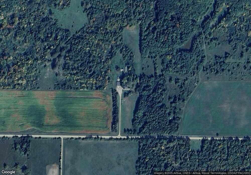
Map
Nearby Homes
- 44272 Rail Rd
- 28816 450th St
- 46962 parcel B 269th Ave
- 25629 Smokey Hollow Dr
- 46441 255th Ave
- 47225 269th Ave
- Tbd 279th Ave
- TBD 279th Ave
- 28682 480th St
- 47320 Us 71
- 42149 County 45
- 24896 County 9
- TBD County 39 Rd
- TBD 480th St
- 30371 Old Sunset Dr
- 32597 Quail Ln
- 395 1st Ave NW
- 28558 Us 2
- 401 1st Ave NW
- 38700 Osprey Trail
- 26815 444th St
- 27294 444th St
- 44512 County 36
- 26563 444th St
- 44304 County 36
- 44304 County 36
- 44545 County 36
- 44573 275th Ave
- 44359 County 36
- 44338 Rail Rd
- 44813 275th Ave
- 44487 275th Ave
- 44302 Rail Rd
- 44403 275th Ave
- 44369 275th Ave
- 45049 275th Ave
- 44498 275th Ave
- 44224 Rail Rd
- TBD Orche Dr
- 26430 450th St