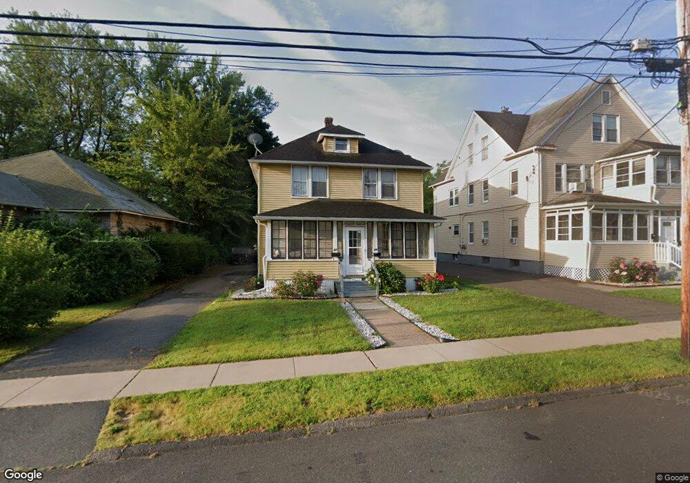
27 Barber St Windsor, CT 06095
Wilson NeighborhoodEstimated Value: $259,000 - $317,000
2
Beds
2
Baths
1,852
Sq Ft
$155/Sq Ft
Est. Value
About This Home
This home is located at 27 Barber St, Windsor, CT 06095 and is currently estimated at $286,852, approximately $154 per square foot. 27 Barber St is a home located in Hartford County with nearby schools including Poquonock Elementary School, Clover Street School, and Sage Park Middle School.
Ownership History
Date
Name
Owned For
Owner Type
Purchase Details
Closed on
Jul 28, 2025
Sold by
Bernard Earl
Bought by
Fergurson Dian C and Bernard Earl L
Current Estimated Value
Purchase Details
Closed on
Oct 26, 2006
Sold by
House Everyt Inv Partn
Bought by
Bernard Earl
Home Financials for this Owner
Home Financials are based on the most recent Mortgage that was taken out on this home.
Original Mortgage
$132,000
Interest Rate
7.4%
Mortgage Type
Purchase Money Mortgage
Purchase Details
Closed on
Sep 21, 2006
Sold by
Battistini William
Bought by
House Everything Ptnrs
Home Financials for this Owner
Home Financials are based on the most recent Mortgage that was taken out on this home.
Original Mortgage
$132,000
Interest Rate
7.4%
Mortgage Type
Purchase Money Mortgage
Create a Home Valuation Report for This Property
The Home Valuation Report is an in-depth analysis detailing your home's value as well as a comparison with similar homes in the area
Home Values in the Area
Average Home Value in this Area
Purchase History
| Date | Buyer | Sale Price | Title Company |
|---|---|---|---|
| Fergurson Dian C | -- | -- | |
| Bernard Earl | $165,000 | -- | |
| Bernard Earl | $165,000 | -- | |
| House Everything Ptnrs | $135,000 | -- | |
| House Everything Ptnrs | $135,000 | -- |
Source: Public Records
Mortgage History
| Date | Status | Borrower | Loan Amount |
|---|---|---|---|
| Previous Owner | House Everything Ptnrs | $132,000 | |
| Previous Owner | House Everything Ptnrs | $33,000 | |
| Previous Owner | House Everything Ptnrs | $125,000 |
Source: Public Records
Tax History Compared to Growth
Tax History
| Year | Tax Paid | Tax Assessment Tax Assessment Total Assessment is a certain percentage of the fair market value that is determined by local assessors to be the total taxable value of land and additions on the property. | Land | Improvement |
|---|---|---|---|---|
| 2025 | $5,215 | $165,830 | $44,800 | $121,030 |
| 2024 | $5,525 | $165,830 | $44,800 | $121,030 |
| 2023 | $4,450 | $121,590 | $30,660 | $90,930 |
| 2022 | $4,410 | $121,590 | $30,660 | $90,930 |
| 2021 | $4,410 | $121,590 | $30,660 | $90,930 |
| 2020 | $4,391 | $121,590 | $30,660 | $90,930 |
| 2019 | $4,302 | $121,590 | $30,660 | $90,930 |
| 2018 | $3,753 | $104,370 | $30,660 | $73,710 |
| 2017 | $3,387 | $104,370 | $30,660 | $73,710 |
| 2016 | $3,290 | $104,370 | $30,660 | $73,710 |
| 2015 | $3,227 | $104,370 | $30,660 | $73,710 |
| 2014 | $3,180 | $104,370 | $30,660 | $73,710 |
Source: Public Records
Map
Nearby Homes
- 89 E Wolcott Ave
- 3 Saville St
- 17 Mills Rd
- 280 Deerfield Rd
- 12 London Rd
- 14 Bennett Cir
- 70 Ashford St
- 82 Ashford St Unit 84
- 140 Portman St
- 58 Amanda Cir
- 170 Woodland St
- 932 Worthy St
- 580 W Wolcott Ave
- 20 Tobey Ave
- 119 Joshua Hill
- 25 Maude Cir
- 75 Cleveland Ave
- 3 Maude Cir
- 32 Sunnyfield Dr
- 28 Sunnyfield Dr