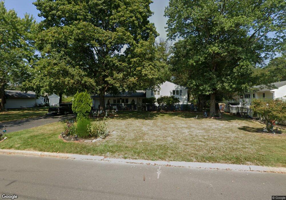
27 Brooktree Rd East Windsor, NJ 08520
Estimated Value: $492,000 - $565,310
--
Bed
--
Bath
1,240
Sq Ft
$419/Sq Ft
Est. Value
About This Home
This home is located at 27 Brooktree Rd, East Windsor, NJ 08520 and is currently estimated at $519,328, approximately $418 per square foot. 27 Brooktree Rd is a home located in Mercer County with nearby schools including Melvin H. Kreps Middle School, Hightstown High School, and E Windsor Knowledge Beginnings.
Ownership History
Date
Name
Owned For
Owner Type
Purchase Details
Closed on
May 26, 2004
Sold by
Sokoloff Todd
Bought by
Viel Marie and Robertson Joachim
Current Estimated Value
Home Financials for this Owner
Home Financials are based on the most recent Mortgage that was taken out on this home.
Original Mortgage
$245,600
Interest Rate
6.02%
Purchase Details
Closed on
Jul 30, 1998
Sold by
Anton Kenneth
Bought by
Sokoloff Todd and Sokoloff Gail
Purchase Details
Closed on
Oct 15, 1992
Sold by
Berger William F and Berger Virginia
Bought by
Anton Kenneth B and Anton Mary T
Purchase Details
Closed on
Aug 29, 1988
Sold by
Ferguson Brett H
Bought by
Berger William F
Create a Home Valuation Report for This Property
The Home Valuation Report is an in-depth analysis detailing your home's value as well as a comparison with similar homes in the area
Home Values in the Area
Average Home Value in this Area
Purchase History
| Date | Buyer | Sale Price | Title Company |
|---|---|---|---|
| Viel Marie | $307,000 | -- | |
| Sokoloff Todd | $165,000 | -- | |
| Anton Kenneth B | $152,000 | -- | |
| Berger William F | $182,000 | -- |
Source: Public Records
Mortgage History
| Date | Status | Borrower | Loan Amount |
|---|---|---|---|
| Previous Owner | Viel Marie | $245,600 |
Source: Public Records
Tax History Compared to Growth
Tax History
| Year | Tax Paid | Tax Assessment Tax Assessment Total Assessment is a certain percentage of the fair market value that is determined by local assessors to be the total taxable value of land and additions on the property. | Land | Improvement |
|---|---|---|---|---|
| 2025 | $10,502 | $282,300 | $168,500 | $113,800 |
| 2024 | $9,943 | $282,300 | $168,500 | $113,800 |
| 2023 | $9,943 | $282,300 | $168,500 | $113,800 |
| 2022 | $9,686 | $282,300 | $168,500 | $113,800 |
| 2021 | $9,615 | $282,300 | $168,500 | $113,800 |
| 2020 | $9,626 | $282,300 | $168,500 | $113,800 |
| 2019 | $9,539 | $282,300 | $168,500 | $113,800 |
| 2018 | $9,415 | $282,300 | $168,500 | $113,800 |
| 2017 | $9,406 | $282,300 | $168,500 | $113,800 |
| 2016 | $9,274 | $282,300 | $168,500 | $113,800 |
| 2015 | $9,093 | $282,300 | $168,500 | $113,800 |
| 2014 | $8,986 | $282,300 | $168,500 | $113,800 |
Source: Public Records
Map
Nearby Homes
- 2 Stanford Ct
- 104 One Mile Rd
- 288 Dutch Neck Rd
- 569 Route 130
- 180 Dorchester Dr
- 102 Teal Ct
- 302 Blanketflower Ln
- 6 Meade Dr
- 13 Holtz Way
- 36 Holtz Way
- 19 Holtz Way
- Rosehayn Elite Plan at Regency at West Windsor
- Victory Plan at Regency at West Windsor
- Victory Elite Plan at Regency at West Windsor
- Cloverhill Elite Plan at Regency at West Windsor
- Cloverhill Plan at Regency at West Windsor
- Rosehayn Plan at Regency at West Windsor
- 3 Cherry Ln
- 42 Holtz Way
- 6 Cherry Ln
- 25 Brooktree Rd
- 1 Shagbark Ln
- 3 Shagbark Ln
- 2 Charred Oak Ln
- 4 Charred Oak Ln
- 23 Brooktree Rd
- 26 Brooktree Rd
- 6 Charred Oak Ln
- 24 Brooktree Rd
- 5 Shagbark Ln
- 31 Brooktree Rd
- 28 Brooktree Rd
- 8 Charred Oak Ln
- 22 Brooktree Rd
- 7 Shagbark Ln
- 10 Charred Oak Ln
- 1 Charred Oak Ln
- 3 Charred Oak Ln
- 33 Brooktree Rd
- 5 Charred Oak Ln