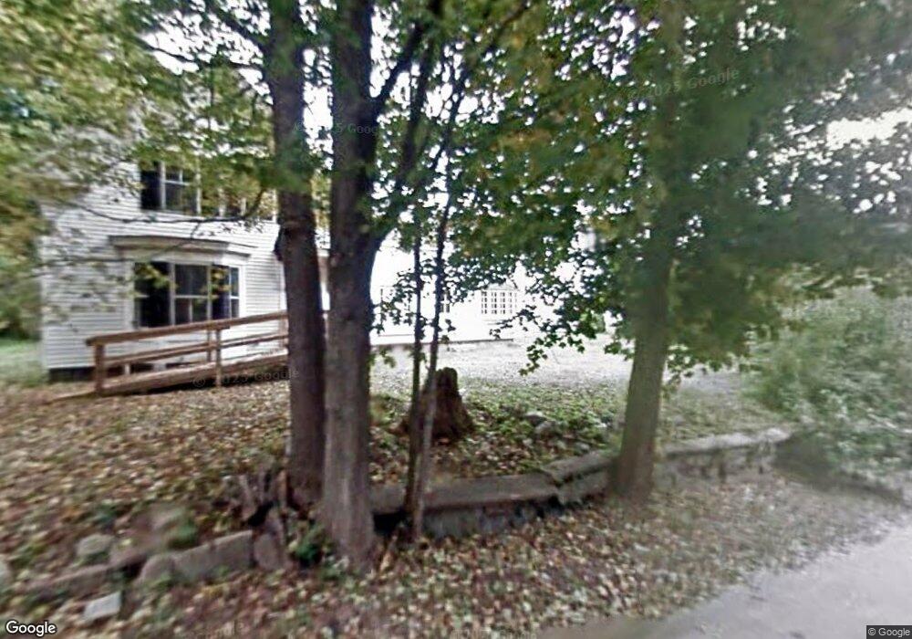
27 Glass Factory Rd Lyndeborough, NH 03082
Estimated Value: $473,000 - $715,000
4
Beds
4
Baths
3,750
Sq Ft
$168/Sq Ft
Est. Value
About This Home
This home is located at 27 Glass Factory Rd, Lyndeborough, NH 03082 and is currently estimated at $631,135, approximately $168 per square foot. 27 Glass Factory Rd is a home located in Hillsborough County with nearby schools including Lyndeborough Central School, Wilton-Lyndeborough Cooperative Middle School, and Wilton-Lyndeborough Cooperative High School.
Ownership History
Date
Name
Owned For
Owner Type
Purchase Details
Closed on
Aug 14, 2017
Sold by
Adcock Ronald P and Adcock Dorothy
Bought by
Adcock Jerald and Adcock Jessica D
Current Estimated Value
Purchase Details
Closed on
Apr 30, 2012
Sold by
Liesl L Clark Lt
Bought by
Adcock Jessica D and Adcock Ronald P
Purchase Details
Closed on
May 12, 2010
Sold by
Gage Mary S and Triangle Credit Union
Bought by
Clark Richard B and Clark Liesl L
Home Financials for this Owner
Home Financials are based on the most recent Mortgage that was taken out on this home.
Original Mortgage
$160,000
Interest Rate
5.11%
Mortgage Type
Purchase Money Mortgage
Create a Home Valuation Report for This Property
The Home Valuation Report is an in-depth analysis detailing your home's value as well as a comparison with similar homes in the area
Home Values in the Area
Average Home Value in this Area
Purchase History
| Date | Buyer | Sale Price | Title Company |
|---|---|---|---|
| Adcock Jerald | -- | -- | |
| Adcock Jerald | -- | -- | |
| Adcock Jessica D | $241,300 | -- | |
| Adcock Jessica D | $241,300 | -- | |
| Clark Richard B | $160,000 | -- | |
| Clark Richard B | $160,000 | -- |
Source: Public Records
Mortgage History
| Date | Status | Borrower | Loan Amount |
|---|---|---|---|
| Previous Owner | Clark Richard B | $160,000 | |
| Previous Owner | Clark Richard B | $144,500 |
Source: Public Records
Tax History Compared to Growth
Tax History
| Year | Tax Paid | Tax Assessment Tax Assessment Total Assessment is a certain percentage of the fair market value that is determined by local assessors to be the total taxable value of land and additions on the property. | Land | Improvement |
|---|---|---|---|---|
| 2024 | $10,900 | $421,500 | $74,800 | $346,700 |
| 2023 | $10,019 | $421,500 | $74,800 | $346,700 |
| 2022 | $9,315 | $421,500 | $74,800 | $346,700 |
| 2021 | $9,315 | $421,500 | $74,800 | $346,700 |
| 2020 | $8,995 | $421,500 | $74,800 | $346,700 |
| 2019 | $10,141 | $348,000 | $65,400 | $282,600 |
| 2018 | $9,817 | $348,000 | $65,400 | $282,600 |
| 2017 | $9,654 | $348,000 | $65,400 | $282,600 |
| 2016 | $9,654 | $348,000 | $65,400 | $282,600 |
| 2015 | $8,801 | $348,000 | $65,400 | $282,600 |
| 2013 | $7,966 | $331,900 | $66,700 | $265,200 |
Source: Public Records
Map
Nearby Homes
- 24 Glass Factory Rd
- 222 Forest Rd
- A 66 Burton Hwy
- 11 Pony Farm Ln
- 372 Webster Hwy
- 0 Marden Rd
- 19 Putnam Rd
- 757 Forest Rd
- 27 Island St
- 10 Mill St
- 80 Salisbury Rd
- 8 Maple St
- 57 Richardson Rd
- 59 Goldsmith Rd
- F/88-5 McGettigan Rd
- F/88-4 McGettigan Rd
- 94 Summit Dr
- 60 Goldsmith Rd
- Lots 4 & 7 Gibbons & Robbins Rd
- 81 Abbot Hill Acres
- 17 Glass Factory Rd
- 20 Glass Factory Rd
- 13 Glass Factory Rd
- 294 Putnam Hill Rd
- 53 Putnam Hill Rd
- 45 Putnam Hill Rd
- 45 Putnam Hill Rd
- 5 Cider Mill Rd
- 68 Putnam Hill Rd
- 10 Glass Factory Rd
- 0 Glass Factory Rd
- 47 Glass Factory Rd
- 33 Putnam Hill Rd
- 59 Putnam Hill Rd
- 66 Glass Factory Rd
- 70 Putnam Hill Rd
- 114 Forest Rd
- 23 Putnam Hill Rd
- 72 Glass Factory Rd
- 55 Glass Factory Rd