27 Harbourside Dr Moultonborough, NH 03254
Estimated Value: $777,000 - $2,023,000
3
Beds
3
Baths
3,126
Sq Ft
$461/Sq Ft
Est. Value
About This Home
This home is located at 27 Harbourside Dr, Moultonborough, NH 03254 and is currently estimated at $1,441,189, approximately $461 per square foot. 27 Harbourside Dr is a home with nearby schools including Moultonborough Central School and Moultonborough Academy High School.
Ownership History
Date
Name
Owned For
Owner Type
Purchase Details
Closed on
Dec 22, 2020
Sold by
Oconnell Cynthia A
Bought by
Cynthia A Oconnell T A and Cynthia Oconnell
Current Estimated Value
Purchase Details
Closed on
Dec 8, 2020
Sold by
William H Oconnell T H and William Oconnell
Bought by
Oconnell Cynthia A
Purchase Details
Closed on
Apr 25, 2017
Sold by
Oconnell Cynthia A and Oconnell William H
Bought by
Cynthia A Oconnell T A and Cynthia Oconnell
Purchase Details
Closed on
Jan 1, 1989
Bought by
Oconnell William H and Oconnell Cynthia
Create a Home Valuation Report for This Property
The Home Valuation Report is an in-depth analysis detailing your home's value as well as a comparison with similar homes in the area
Home Values in the Area
Average Home Value in this Area
Purchase History
| Date | Buyer | Sale Price | Title Company |
|---|---|---|---|
| Cynthia A Oconnell T A | -- | None Available | |
| Oconnell Cynthia A | -- | None Available | |
| Cynthia A Oconnell T A | -- | -- | |
| Oconnell William H | -- | -- |
Source: Public Records
Tax History Compared to Growth
Tax History
| Year | Tax Paid | Tax Assessment Tax Assessment Total Assessment is a certain percentage of the fair market value that is determined by local assessors to be the total taxable value of land and additions on the property. | Land | Improvement |
|---|---|---|---|---|
| 2024 | $5,171 | $915,200 | $277,500 | $637,700 |
| 2023 | $4,379 | $768,300 | $247,700 | $520,600 |
| 2022 | $3,321 | $694,700 | $223,000 | $471,700 |
| 2021 | $4,189 | $600,200 | $215,200 | $385,000 |
| 2020 | $3,986 | $559,100 | $199,200 | $359,900 |
| 2019 | $3,818 | $534,000 | $199,300 | $334,700 |
| 2018 | $8,168 | $510,800 | $181,700 | $329,100 |
| 2017 | $4,223 | $500,300 | $181,700 | $318,600 |
| 2016 | $4,223 | $483,200 | $181,700 | $301,500 |
| 2015 | $4,123 | $457,600 | $181,700 | $275,900 |
| 2014 | $4,107 | $463,600 | $181,700 | $281,900 |
| 2013 | $4,045 | $465,500 | $181,700 | $283,800 |
Source: Public Records
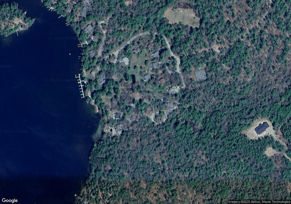
Map
Nearby Homes
- 31 Rays Way
- 5 Ferry Rd
- 16 Long Island Rd
- 00 Beede Rd
- 29 Kona Farm Rd
- 10 Woodridge Rd
- 167 Long Island Rd
- 21 Orton Ln
- 27 First Point Rd
- 11 Geery Ln
- 00 Rivers Rd
- 14 Island View Dr
- 9 Starboard Ln Unit 1
- 30 Leopards Leap
- 22 Tiger Trail
- 7 Flint Dr
- 244 Wentworth Shores Rd
- 203 Krainewood Dr
- 41 Saint Gallen St
- 9 Lady Slipper Ln
- 29 Harbourside Dr
- 25 Harbourside Dr
- 19 Harbourside Dr
- 21 Harbourside Dr
- 31 Harbourside Dr
- 33 Harbourside Dr
- 17 Harbourside Dr
- 7 Harbourside Dr
- 5 Harbourside Dr
- 15 Harbourside Dr
- 15 Harbourside Dr
- 11 Harbourside Dr
- 13 Harbourside Rd
- 13 Harbourside Dr
- 3 Harbourside Dr
- 3 Harbourside Dr Unit 31
- 220 Candleberry Ln
- 129 Echo Landing Rd
- 125 Echo Landing Rd
- 218 Candleberry Ln