27 Hawk Ridge Rd Meredith, NH 03253
Estimated Value: $1,561,426 - $1,856,000
3
Beds
4
Baths
2,845
Sq Ft
$595/Sq Ft
Est. Value
About This Home
This home is located at 27 Hawk Ridge Rd, Meredith, NH 03253 and is currently estimated at $1,692,475, approximately $594 per square foot. 27 Hawk Ridge Rd is a home located in Belknap County with nearby schools including Inter-Lakes Elementary School and Lakeland School.
Ownership History
Date
Name
Owned For
Owner Type
Purchase Details
Closed on
May 10, 2017
Sold by
Nancy Jean Mccoy Ret
Bought by
Thomas & Nancy Mccoy Ret
Current Estimated Value
Purchase Details
Closed on
Oct 21, 1998
Sold by
Leguh Corp
Bought by
Nancy Jean Mccoyret
Home Financials for this Owner
Home Financials are based on the most recent Mortgage that was taken out on this home.
Original Mortgage
$45,000
Interest Rate
6.74%
Mortgage Type
Purchase Money Mortgage
Create a Home Valuation Report for This Property
The Home Valuation Report is an in-depth analysis detailing your home's value as well as a comparison with similar homes in the area
Home Values in the Area
Average Home Value in this Area
Purchase History
| Date | Buyer | Sale Price | Title Company |
|---|---|---|---|
| Thomas & Nancy Mccoy Ret | -- | -- | |
| Nancy Jean Mccoyret | $70,000 | -- |
Source: Public Records
Mortgage History
| Date | Status | Borrower | Loan Amount |
|---|---|---|---|
| Previous Owner | Nancy Jean Mccoyret | $45,000 |
Source: Public Records
Tax History Compared to Growth
Tax History
| Year | Tax Paid | Tax Assessment Tax Assessment Total Assessment is a certain percentage of the fair market value that is determined by local assessors to be the total taxable value of land and additions on the property. | Land | Improvement |
|---|---|---|---|---|
| 2024 | $15,625 | $1,522,900 | $557,300 | $965,600 |
| 2023 | $15,061 | $1,522,900 | $557,300 | $965,600 |
| 2022 | $12,159 | $870,400 | $298,400 | $572,000 |
| 2021 | $11,689 | $870,400 | $298,400 | $572,000 |
| 2020 | $12,203 | $870,400 | $298,400 | $572,000 |
| 2019 | $12,842 | $808,200 | $286,200 | $522,000 |
| 2018 | $12,624 | $808,200 | $286,200 | $522,000 |
| 2016 | $11,760 | $754,300 | $210,300 | $544,000 |
| 2015 | $11,465 | $754,300 | $210,300 | $544,000 |
| 2014 | $11,186 | $754,300 | $210,300 | $544,000 |
| 2013 | $10,856 | $753,400 | $210,300 | $543,100 |
Source: Public Records
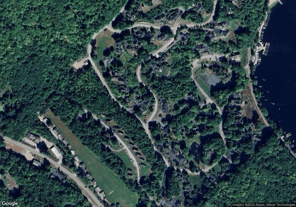
Map
Nearby Homes
- 75 Neal Shore Rd
- 83 Tracy Way
- 21 Upper Ladd Hill Rd Unit D
- 21 Upper Ladd Hill Rd Unit A
- 21 Upper Ladd Hill Rd Unit E
- 21 Upper Ladd Hill Rd Unit C
- 21 Upper Ladd Hill Rd Unit B
- 113-117 Pinnacle Park Rd
- 96 Brook Hill
- Lot 12-3 Needle Eye Rd
- Lot 12-5 Needle Eye Rd
- 70 Pinnacle Park Rd
- 17 Granite Ridge
- 78 Granite Ridge
- 64 Granite Ridge
- 106 Needle Eye Rd
- 00 Nh Rte 132 Route
- 0 Parade Rd Unit 5
- 103 Meredith Neck Rd
- 8 Water St Unit 2
- 25 Hawk Ridge Rd
- 25 Hawk Ridge Rd Unit 10
- 29 Hawk Ridge Rd
- 10 Loon Rd
- 9 Loon Rd
- 4 Rocky Point Ln
- 4 Rocky Point Ln Unit 7
- 2 Rocky Point Ln
- 31 Hawk Ridge Rd
- 1 Eagle Point Ln
- 33 Hawk Ridge Rd
- 3 Rocky Point Ln
- 1 Rocky Point Ln
- 15 Loon Rd
- 35 Hawk Ridge Rd
- 14 Rocky Point Ln
- 12 Rocky Point Ln
- 0 Eastbluff Village Unit 35 127770
- 0 Eastbluff Village Unit 7
- 3 Eagle Point Ln