27 Hickory Rd Norton, MA 02766
Estimated Value: $608,338 - $746,000
3
Beds
2
Baths
1,988
Sq Ft
$333/Sq Ft
Est. Value
About This Home
This home is located at 27 Hickory Rd, Norton, MA 02766 and is currently estimated at $661,335, approximately $332 per square foot. 27 Hickory Rd is a home located in Bristol County with nearby schools including J.C. Solmonese Elementary School, Henri A. Yelle Elementary School, and Norton Middle School.
Ownership History
Date
Name
Owned For
Owner Type
Purchase Details
Closed on
May 31, 2001
Sold by
Kennedy Brian T and Kennedy Adrienne M
Bought by
Schumm Keri A
Current Estimated Value
Home Financials for this Owner
Home Financials are based on the most recent Mortgage that was taken out on this home.
Original Mortgage
$173,900
Interest Rate
7.09%
Mortgage Type
Purchase Money Mortgage
Purchase Details
Closed on
Aug 31, 1995
Sold by
Sadlier Patricia A
Bought by
Kennedy Brian T and Powers Adrienne M
Create a Home Valuation Report for This Property
The Home Valuation Report is an in-depth analysis detailing your home's value as well as a comparison with similar homes in the area
Home Values in the Area
Average Home Value in this Area
Purchase History
| Date | Buyer | Sale Price | Title Company |
|---|---|---|---|
| Schumm Keri A | $198,900 | -- | |
| Kennedy Brian T | $119,900 | -- |
Source: Public Records
Mortgage History
| Date | Status | Borrower | Loan Amount |
|---|---|---|---|
| Open | Kennedy Brian T | $173,000 | |
| Closed | Kennedy Brian T | $173,900 | |
| Previous Owner | Kennedy Brian T | $17,000 |
Source: Public Records
Tax History Compared to Growth
Tax History
| Year | Tax Paid | Tax Assessment Tax Assessment Total Assessment is a certain percentage of the fair market value that is determined by local assessors to be the total taxable value of land and additions on the property. | Land | Improvement |
|---|---|---|---|---|
| 2025 | $67 | $512,700 | $162,100 | $350,600 |
| 2024 | $6,379 | $492,600 | $154,300 | $338,300 |
| 2023 | $6,095 | $469,200 | $145,600 | $323,600 |
| 2022 | $5,879 | $412,300 | $132,300 | $280,000 |
| 2021 | $5,612 | $375,900 | $126,100 | $249,800 |
| 2020 | $5,288 | $357,300 | $122,400 | $234,900 |
| 2019 | $5,124 | $343,900 | $117,700 | $226,200 |
| 2018 | $4,921 | $324,600 | $111,200 | $213,400 |
| 2017 | $4,749 | $309,000 | $111,200 | $197,800 |
| 2016 | $4,485 | $287,300 | $104,600 | $182,700 |
| 2015 | $4,358 | $283,200 | $102,600 | $180,600 |
| 2014 | $4,151 | $270,100 | $97,700 | $172,400 |
Source: Public Records
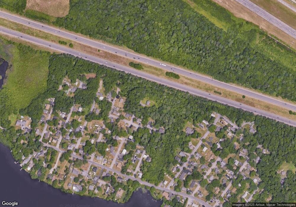
Map
Nearby Homes
- 24 Barberry Rd
- 18 Columbine Rd
- 22 S Lakeview Rd
- 24 Hawthorne Rd
- 21 Juniper Rd
- 15 Reservoir St Unit 44
- 15 Patten Rd
- 0 Brook Pkwy
- 40 Patten Rd
- 711 Ware St
- 250 Mansfield Ave Unit 66
- 157 Mansfield Ave Unit 14
- 10 Ridge Rd
- 136 N Washington St Unit 6
- 460 Ware St
- 442 Ware St
- 73 Godfrey Dr
- 245 Willow St
- 93 Mansfield Ave
- 0 Kensington Rd