27 Locust Ln Morganton, GA 30560
Estimated Value: $381,121 - $1,179,000
3
Beds
2
Baths
1,859
Sq Ft
$380/Sq Ft
Est. Value
About This Home
This home is located at 27 Locust Ln, Morganton, GA 30560 and is currently estimated at $707,280, approximately $380 per square foot. 27 Locust Ln is a home located in Fannin County with nearby schools including Fannin County High School and Mountain Area Christian Academy.
Ownership History
Date
Name
Owned For
Owner Type
Purchase Details
Closed on
Dec 31, 2007
Sold by
Mcclain Richard Howard
Bought by
Johnson Charles W and Johnson Billy
Current Estimated Value
Home Financials for this Owner
Home Financials are based on the most recent Mortgage that was taken out on this home.
Original Mortgage
$162,000
Outstanding Balance
$100,271
Interest Rate
6.05%
Mortgage Type
New Conventional
Estimated Equity
$607,009
Purchase Details
Closed on
Oct 29, 1990
Bought by
Mcclain Richard H
Create a Home Valuation Report for This Property
The Home Valuation Report is an in-depth analysis detailing your home's value as well as a comparison with similar homes in the area
Home Values in the Area
Average Home Value in this Area
Purchase History
| Date | Buyer | Sale Price | Title Company |
|---|---|---|---|
| Johnson Charles W | $180,000 | -- | |
| Mcclain Richard H | $11,000 | -- |
Source: Public Records
Mortgage History
| Date | Status | Borrower | Loan Amount |
|---|---|---|---|
| Open | Johnson Charles W | $162,000 |
Source: Public Records
Tax History Compared to Growth
Tax History
| Year | Tax Paid | Tax Assessment Tax Assessment Total Assessment is a certain percentage of the fair market value that is determined by local assessors to be the total taxable value of land and additions on the property. | Land | Improvement |
|---|---|---|---|---|
| 2025 | $1,122 | $122,404 | $15,616 | $106,788 |
| 2024 | $1,122 | $122,404 | $15,616 | $106,788 |
| 2023 | $1,041 | $102,072 | $15,616 | $86,456 |
| 2022 | $1,053 | $103,314 | $15,616 | $87,698 |
| 2021 | $825 | $58,846 | $15,616 | $43,230 |
| 2020 | $839 | $58,846 | $15,616 | $43,230 |
| 2019 | $825 | $56,802 | $15,616 | $41,186 |
| 2018 | $875 | $56,802 | $15,616 | $41,186 |
| 2017 | $1,015 | $57,339 | $15,616 | $41,723 |
| 2016 | $885 | $52,126 | $15,616 | $36,510 |
| 2015 | $934 | $52,612 | $15,616 | $36,997 |
| 2014 | $1,064 | $59,968 | $15,616 | $44,352 |
| 2013 | -- | $45,951 | $15,615 | $30,336 |
Source: Public Records
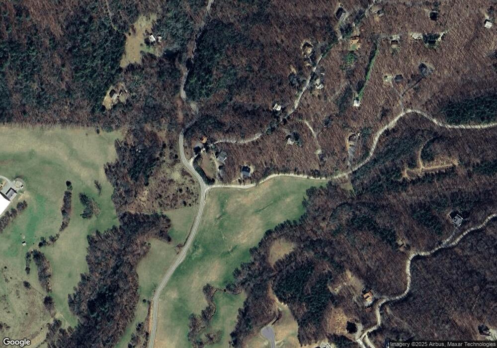
Map
Nearby Homes
- LOT 20 Locust Ln
- LOT 16, (PARCEL Big Valley Dr
- 162 Big Valley Dr
- 168 Rabbit Ridge Rd
- Lot 39 Big Valley Overlook
- 261 Big Valley Dr
- 97 Deer Ridge Rd
- 24 Rabbit Ridge Rd
- 95 Upper Ridge Trail
- 458 Blue Berry Ridge
- LT120 Croft Mountain Rd
- 566 High Meadows Dr
- Lot 13 High Meadows Trail
- 35 Wunder Bear Ridge
- LOT 118 Croft Mountain Rd
- 184 High Meadows Dr
- LOT 119 Croft Mountain Rd
- 119 Croft Mountain Rd
- 194 Squirrel Chase
- 691 Mitchell Branch Rd
- 143 Locust Ln
- 38 Eagle Top Dr
- 33 Eagle Top Dr
- 124 Eagle Top Dr
- 74 Big Valley Dr
- 139 Eagle Top Dr
- 30 Hideway Ln
- 289 Locust Ln
- 0 Eagle Top Dr Unit 3256784
- 34 Hideway Ln
- 173 Eagle Top Dr
- 188 Eagle Top Dr
- 185 Locust Ln
- 4164 Squirrel Hunting Rd
- 209 Eagle Top Dr
- 1.3AC Eagle Top Dr
- LOT 5 Eagle Top Dr
- LOT 6 Eagle Top Dr
- 892 Locust Ln
- 262 Eagle Top Dr