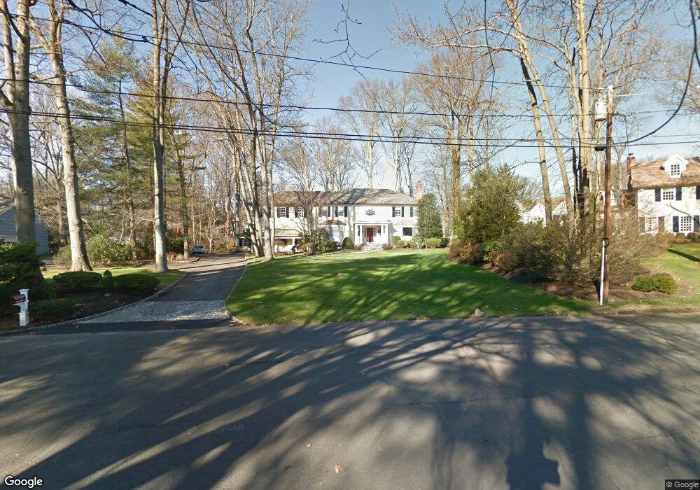
27 Normandy Ln Riverside, CT 06878
Estimated Value: $4,039,000 - $5,667,000
5
Beds
5
Baths
4,764
Sq Ft
$1,051/Sq Ft
Est. Value
About This Home
This home is located at 27 Normandy Ln, Riverside, CT 06878 and is currently estimated at $5,006,097, approximately $1,050 per square foot. 27 Normandy Ln is a home located in Fairfield County with nearby schools including Riverside School, Eastern Middle School, and Greenwich High School.
Ownership History
Date
Name
Owned For
Owner Type
Purchase Details
Closed on
Aug 11, 1993
Sold by
Fryback John
Bought by
Theofanidis Stylianos
Current Estimated Value
Home Financials for this Owner
Home Financials are based on the most recent Mortgage that was taken out on this home.
Original Mortgage
$700,000
Interest Rate
7.16%
Mortgage Type
Unknown
Purchase Details
Closed on
Feb 1, 1990
Sold by
Hall Jeffrey
Bought by
Fogarty James
Create a Home Valuation Report for This Property
The Home Valuation Report is an in-depth analysis detailing your home's value as well as a comparison with similar homes in the area
Home Values in the Area
Average Home Value in this Area
Purchase History
| Date | Buyer | Sale Price | Title Company |
|---|---|---|---|
| Theofanidis Stylianos | $1,162,500 | -- | |
| Fogarty James | $760,000 | -- |
Source: Public Records
Mortgage History
| Date | Status | Borrower | Loan Amount |
|---|---|---|---|
| Open | Fogarty James | $450,000 | |
| Closed | Fogarty James | $750,000 | |
| Closed | Fogarty James | $700,000 | |
| Previous Owner | Fogarty James | $700,000 |
Source: Public Records
Tax History
| Year | Tax Paid | Tax Assessment Tax Assessment Total Assessment is a certain percentage of the fair market value that is determined by local assessors to be the total taxable value of land and additions on the property. | Land | Improvement |
|---|---|---|---|---|
| 2025 | $26,432 | $2,138,710 | $1,347,500 | $791,210 |
| 2024 | $25,528 | $2,138,710 | $1,347,500 | $791,210 |
| 2023 | $24,886 | $2,138,710 | $1,347,500 | $791,210 |
| 2022 | $24,659 | $2,138,710 | $1,347,500 | $791,210 |
| 2021 | $26,517 | $2,202,410 | $1,295,000 | $907,410 |
| 2020 | $26,473 | $2,202,410 | $1,295,000 | $907,410 |
| 2019 | $26,645 | $2,194,850 | $1,295,000 | $899,850 |
| 2018 | $26,053 | $2,194,850 | $1,295,000 | $899,850 |
| 2017 | $26,380 | $2,194,850 | $1,295,000 | $899,850 |
| 2016 | $25,963 | $2,194,850 | $1,295,000 | $899,850 |
| 2015 | $27,018 | $2,265,620 | $1,609,930 | $655,690 |
| 2014 | $26,323 | $2,264,360 | $1,609,930 | $654,430 |
Source: Public Records
Map
Nearby Homes
- 11 Field Rd
- 227 Riverside Ave
- 247 Riverside Ave
- 177 Indian Head Rd
- 26 Glen Avon Dr
- 25 Summit Rd
- 37 Miltiades Ave
- 16 Summit Rd
- 25 West Way
- 11 River Rd Unit 119
- 47 Owenoke Way
- 15 River Rd Unit 210
- 6 Clark St
- 7 River Rd Unit Boat Slip A-2
- 7 River Rd Unit Boat Slip D1
- 7 River Rd Unit Boat Slip E3
- 7 River Rd Unit Boat Slip H3
- 48 Meyer Place
- 10 Verona Dr
- 25 Dialstone Ln
Your Personal Tour Guide
Ask me questions while you tour the home.