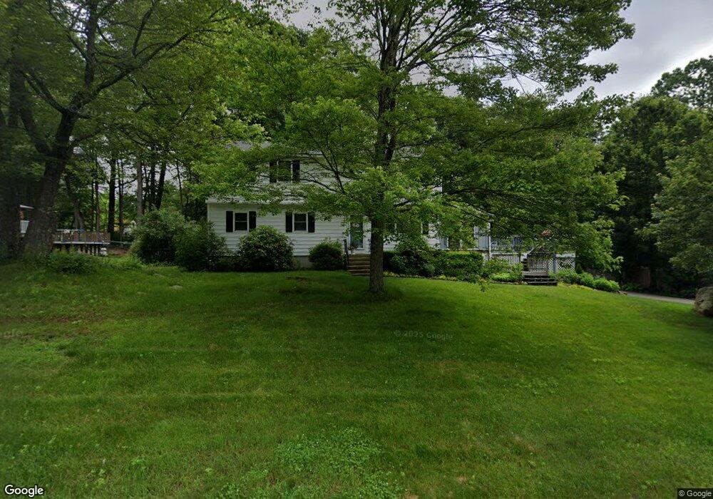
27 Peter Rd Merrimack, NH 03054
Estimated Value: $601,000 - $692,000
5
Beds
3
Baths
2,719
Sq Ft
$232/Sq Ft
Est. Value
About This Home
This home is located at 27 Peter Rd, Merrimack, NH 03054 and is currently estimated at $632,090, approximately $232 per square foot. 27 Peter Rd is a home located in Hillsborough County with nearby schools including Thorntons Ferry School, Merrimack Middle School, and James Mastricola Upper Elementary School.
Ownership History
Date
Name
Owned For
Owner Type
Purchase Details
Closed on
Oct 18, 2024
Sold by
Kocsis John J and Kocsis Alana M
Bought by
Kocsis Ft and Kocsis
Current Estimated Value
Purchase Details
Closed on
May 24, 1974
Bought by
Kocsis John J and Kocsis Alana M
Create a Home Valuation Report for This Property
The Home Valuation Report is an in-depth analysis detailing your home's value as well as a comparison with similar homes in the area
Home Values in the Area
Average Home Value in this Area
Purchase History
| Date | Buyer | Sale Price | Title Company |
|---|---|---|---|
| Kocsis Ft | -- | None Available | |
| Kocsis John J | -- | -- |
Source: Public Records
Mortgage History
| Date | Status | Borrower | Loan Amount |
|---|---|---|---|
| Previous Owner | Kocsis John J | $100,000 | |
| Previous Owner | Kocsis John J | $76,000 |
Source: Public Records
Tax History
| Year | Tax Paid | Tax Assessment Tax Assessment Total Assessment is a certain percentage of the fair market value that is determined by local assessors to be the total taxable value of land and additions on the property. | Land | Improvement |
|---|---|---|---|---|
| 2025 | $8,899 | $402,500 | $191,700 | $210,800 |
| 2024 | $8,328 | $402,500 | $191,700 | $210,800 |
| 2023 | $7,829 | $402,500 | $191,700 | $210,800 |
| 2022 | $6,995 | $402,500 | $191,700 | $210,800 |
| 2021 | $6,947 | $404,600 | $191,700 | $212,900 |
| 2020 | $6,787 | $282,100 | $125,300 | $156,800 |
| 2019 | $6,805 | $282,000 | $125,300 | $156,700 |
| 2018 | $6,785 | $281,300 | $125,300 | $156,000 |
| 2017 | $6,574 | $281,300 | $125,300 | $156,000 |
| 2016 | $6,411 | $281,300 | $125,300 | $156,000 |
| 2015 | $6,477 | $262,000 | $113,900 | $148,100 |
| 2014 | $6,312 | $262,000 | $113,900 | $148,100 |
| 2013 | $6,264 | $262,000 | $113,900 | $148,100 |
Source: Public Records
Map
Nearby Homes
- 47 Lamson Dr
- 4 Wasserman Heights
- 4 Knights Bridge Dr Unit UI206
- 3 Knights Bridge Dr Unit UL302
- 53 Seaverns Bridge Rd
- 201 Millwright Dr
- 2 Roedean Dr Unit UA307
- 254 Stonebridge Dr
- 262 Stonebridge Dr
- 1133 Blackstone Dr Unit 33
- 11 Blackstone Dr Unit U1136
- 1 Cambridge Dr
- 464 Boston Post Rd Unit 5
- 103 Seaverns Bridge Rd
- 101 Seaverns Bridge Rd
- 5 Dumaine Ave Unit N
- 27 Farmer Rd
- 105 Seaverns Bridge Rd
- 101-2 Seaverns Bridge Rd
- 7 Dumaine Ave Unit H
Your Personal Tour Guide
Ask me questions while you tour the home.