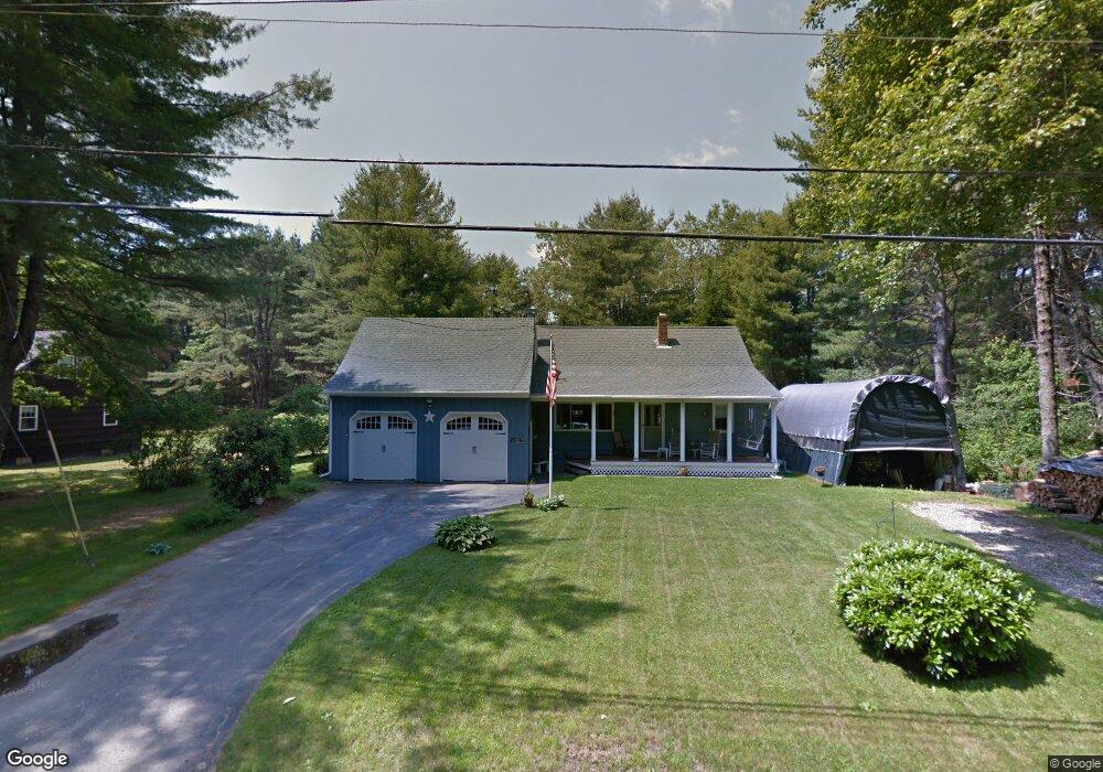
27 Webster Rd Freeport, ME 04032
Estimated Value: $493,000 - $577,000
4
Beds
1
Bath
1,448
Sq Ft
$364/Sq Ft
Est. Value
About This Home
This home is located at 27 Webster Rd, Freeport, ME 04032 and is currently estimated at $526,828, approximately $363 per square foot. 27 Webster Rd is a home located in Cumberland County with nearby schools including Morse Street School, Mast Landing School, and Freeport Middle School.
Create a Home Valuation Report for This Property
The Home Valuation Report is an in-depth analysis detailing your home's value as well as a comparison with similar homes in the area
Home Values in the Area
Average Home Value in this Area
Tax History Compared to Growth
Tax History
| Year | Tax Paid | Tax Assessment Tax Assessment Total Assessment is a certain percentage of the fair market value that is determined by local assessors to be the total taxable value of land and additions on the property. | Land | Improvement |
|---|---|---|---|---|
| 2024 | $5,093 | $381,500 | $141,900 | $239,600 |
| 2023 | $4,620 | $336,000 | $129,000 | $207,000 |
| 2022 | $4,397 | $322,100 | $115,100 | $207,000 |
| 2021 | $4,301 | $322,200 | $115,100 | $207,100 |
| 2020 | $4,162 | $297,300 | $106,600 | $190,700 |
| 2019 | $3,978 | $278,200 | $100,600 | $177,600 |
| 2018 | $3,943 | $262,000 | $94,000 | $168,000 |
| 2017 | $3,769 | $252,100 | $91,800 | $160,300 |
| 2016 | $3,688 | $233,400 | $85,000 | $148,400 |
| 2015 | $3,723 | $221,600 | $80,800 | $140,800 |
Source: Public Records
Map
Nearby Homes
- 31 Sequoia Dr
- 15 Sequoia Dr
- 26 Harvest Ridge Rd Unit 24
- 241 Bluff Rd Unit 4
- 247 Ledge Rd
- 203 Bluff Rd Unit 13
- 393 E Main St
- 1612 U S Route 1
- 304 Pownal Rd
- 149 E Main St Unit 7
- 44 Ellen Cir
- 15 Percy St
- 162 Merrill Rd
- 20 Blueberry Cove Rd Unit 20
- 10 Durham Rd
- 62 Blueberry Cove Rd Unit 62
- 52 Blueberry Cove Rd Unit 52
- 70 Main St
- 309 Main St Unit A
- 42 Durham Rd