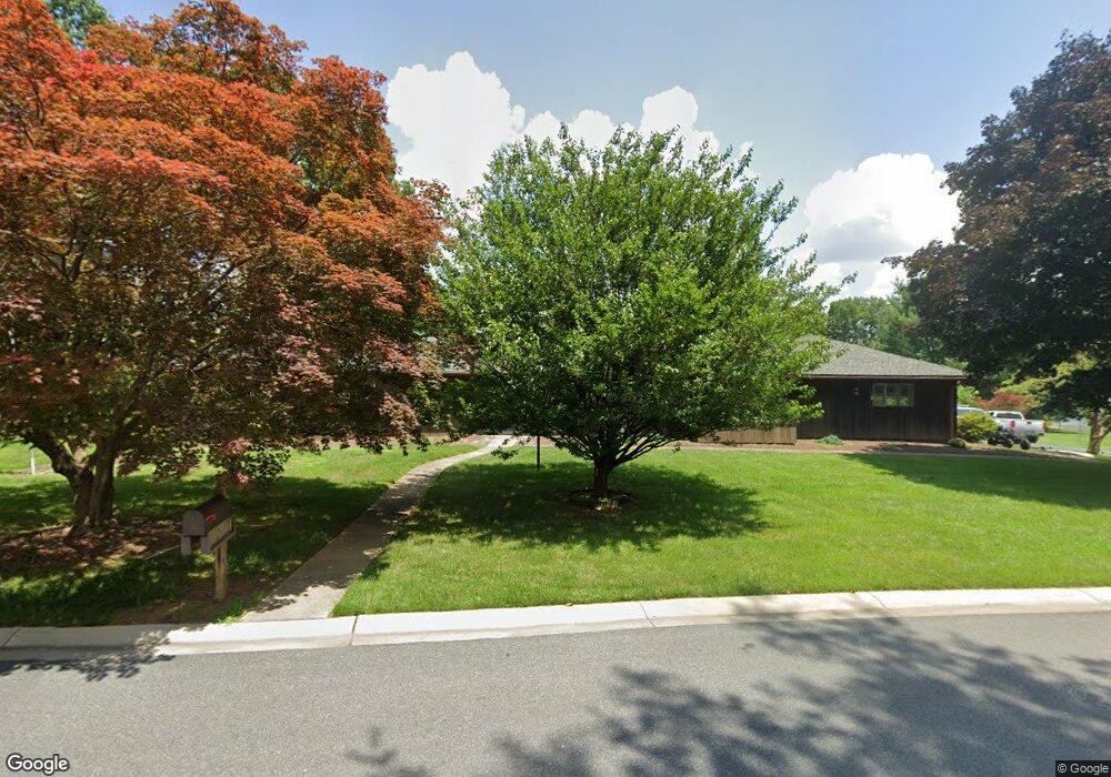
27 Wesley Dr Hockessin, DE 19707
Estimated Value: $671,975 - $704,000
4
Beds
2
Baths
2,808
Sq Ft
$244/Sq Ft
Est. Value
About This Home
This home is located at 27 Wesley Dr, Hockessin, DE 19707 and is currently estimated at $685,244, approximately $244 per square foot. 27 Wesley Dr is a home located in New Castle County with nearby schools including Dupont (H.B.) Middle School, Alexis I. du Pont High School, and Sanford School.
Ownership History
Date
Name
Owned For
Owner Type
Purchase Details
Closed on
Dec 1, 1975
Bought by
King Alan C and King Lorraine N
Current Estimated Value
Create a Home Valuation Report for This Property
The Home Valuation Report is an in-depth analysis detailing your home's value as well as a comparison with similar homes in the area
Home Values in the Area
Average Home Value in this Area
Purchase History
| Date | Buyer | Sale Price | Title Company |
|---|---|---|---|
| King Alan C | $95,000 | -- |
Source: Public Records
Tax History Compared to Growth
Tax History
| Year | Tax Paid | Tax Assessment Tax Assessment Total Assessment is a certain percentage of the fair market value that is determined by local assessors to be the total taxable value of land and additions on the property. | Land | Improvement |
|---|---|---|---|---|
| 2024 | $5,873 | $153,300 | $33,800 | $119,500 |
| 2023 | $5,209 | $153,300 | $33,800 | $119,500 |
| 2022 | $5,237 | $153,300 | $33,800 | $119,500 |
| 2021 | $5,231 | $153,300 | $33,800 | $119,500 |
| 2020 | $5,233 | $153,300 | $33,800 | $119,500 |
| 2019 | $4,890 | $153,300 | $33,800 | $119,500 |
| 2018 | $184 | $153,300 | $33,800 | $119,500 |
| 2017 | $4,333 | $153,300 | $33,800 | $119,500 |
| 2016 | $4,333 | $153,300 | $33,800 | $119,500 |
| 2015 | -- | $153,300 | $33,800 | $119,500 |
| 2014 | $3,719 | $153,300 | $33,800 | $119,500 |
Source: Public Records
Map
Nearby Homes
- 606 Parkridge Dr
- 408 Willowbend Ct
- 683 Mc Govern Rd
- 747 Morris Rd
- 757 Auburn Mill Rd
- 1075 Yorklyn Rd
- 25 Southridge Dr
- 535 Chandler Mill Rd
- 551 Southwood Rd
- 567 Southwood Rd
- 107 Skyview Ln
- 108 Evanson Rd
- 3 Ashleaf Ct
- 2913 Creek Rd
- 646 Woodview Dr
- 823 Creek Rd
- 118 Pleasant Bank Ln
- 513 Pershing Rd
- 6 Kings Grant Rd
- 832 Evanson Rd