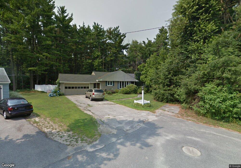
27 Westland Cir West Boylston, MA 01583
Estimated Value: $518,000 - $643,000
3
Beds
3
Baths
1,802
Sq Ft
$323/Sq Ft
Est. Value
About This Home
This home is located at 27 Westland Cir, West Boylston, MA 01583 and is currently estimated at $582,473, approximately $323 per square foot. 27 Westland Cir is a home located in Worcester County with nearby schools including Major Edwards Elementary School, West Boylston Junior/Senior High School, and Abby Kelley Foster Charter Public School.
Ownership History
Date
Name
Owned For
Owner Type
Purchase Details
Closed on
Oct 4, 2004
Sold by
Dipierro Joan F
Bought by
Dubeau Christopher M and Dipierro Joan F
Current Estimated Value
Create a Home Valuation Report for This Property
The Home Valuation Report is an in-depth analysis detailing your home's value as well as a comparison with similar homes in the area
Home Values in the Area
Average Home Value in this Area
Purchase History
| Date | Buyer | Sale Price | Title Company |
|---|---|---|---|
| Dubeau Christopher M | -- | -- |
Source: Public Records
Tax History Compared to Growth
Tax History
| Year | Tax Paid | Tax Assessment Tax Assessment Total Assessment is a certain percentage of the fair market value that is determined by local assessors to be the total taxable value of land and additions on the property. | Land | Improvement |
|---|---|---|---|---|
| 2025 | $71 | $511,600 | $100,000 | $411,600 |
| 2024 | $6,948 | $470,100 | $100,000 | $370,100 |
| 2023 | $6,640 | $426,200 | $99,300 | $326,900 |
| 2022 | $6,186 | $349,900 | $99,300 | $250,600 |
| 2021 | $3,170 | $325,100 | $96,100 | $229,000 |
| 2020 | $5,888 | $316,900 | $96,100 | $220,800 |
| 2019 | $2,885 | $291,200 | $96,100 | $195,100 |
| 2018 | $5,228 | $279,300 | $96,100 | $183,200 |
| 2017 | $4,608 | $245,100 | $96,100 | $149,000 |
| 2016 | $4,542 | $246,200 | $89,600 | $156,600 |
| 2015 | $4,455 | $242,900 | $88,700 | $154,200 |
Source: Public Records
Map
Nearby Homes
- 39 Davidson Rd
- 1 Highland Ave
- 39 Meola Ave
- 33 Meola Ave
- 12 Birchbrush Ln
- 33 Isleboro St
- 29 Isleboro St
- 1110 W Boylston St Unit A
- 1097 W Boylston St
- 15 Cumberland St
- 740 Burncoat St Unit B
- 22 Danielles Way
- 26 Danielles Way
- 31 Danielles Way
- 21 Wyoming Dr
- 9 Idalla Ave
- 93 Winfield Rd
- 12 Dixfield Rd
- 83 Stoneleigh Rd
- 62 Maple St