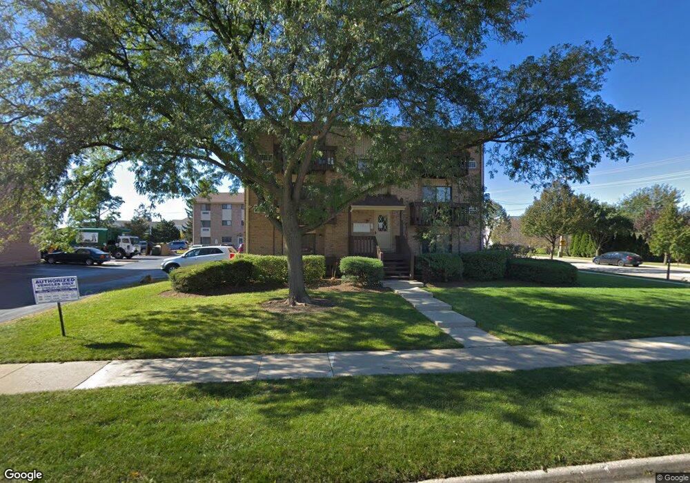
270 12th St Unit 2 Wheeling, IL 60090
Estimated Value: $97,000 - $160,302
1
Bed
1
Bath
6,156
Sq Ft
$23/Sq Ft
Est. Value
About This Home
This home is located at 270 12th St Unit 2, Wheeling, IL 60090 and is currently estimated at $143,826, approximately $23 per square foot. 270 12th St Unit 2 is a home located in Cook County with nearby schools including Eugene Field Elementary School, Jack London Middle School, and Wheeling High School.
Ownership History
Date
Name
Owned For
Owner Type
Purchase Details
Closed on
Dec 11, 2012
Sold by
Moffat Donald and Moffat Linda
Bought by
Kakkanad Thomas and Kakkanad Claramma J
Current Estimated Value
Purchase Details
Closed on
Dec 13, 2004
Sold by
Moffat Steven G
Bought by
Moffat Donald and Moffat Linda
Purchase Details
Closed on
Nov 12, 2004
Sold by
Kessel Leona M
Bought by
Moffat Steven G
Create a Home Valuation Report for This Property
The Home Valuation Report is an in-depth analysis detailing your home's value as well as a comparison with similar homes in the area
Home Values in the Area
Average Home Value in this Area
Purchase History
| Date | Buyer | Sale Price | Title Company |
|---|---|---|---|
| Kakkanad Thomas | $40,000 | Attorneys Title Guaranty Fun | |
| Moffat Donald | -- | Chicago Title Insurance Comp | |
| Moffat Steven G | $114,000 | -- |
Source: Public Records
Tax History
| Year | Tax Paid | Tax Assessment Tax Assessment Total Assessment is a certain percentage of the fair market value that is determined by local assessors to be the total taxable value of land and additions on the property. | Land | Improvement |
|---|---|---|---|---|
| 2025 | $3,197 | $12,003 | $1,740 | $10,263 |
| 2024 | $3,197 | $9,541 | $1,450 | $8,091 |
| 2023 | $3,049 | $9,541 | $1,450 | $8,091 |
| 2022 | $3,049 | $9,541 | $1,450 | $8,091 |
| 2021 | $2,203 | $5,945 | $386 | $5,559 |
| 2020 | $2,145 | $5,945 | $386 | $5,559 |
| 2019 | $2,180 | $6,653 | $386 | $6,267 |
| 2018 | $1,829 | $5,011 | $338 | $4,673 |
| 2017 | $1,791 | $5,011 | $338 | $4,673 |
| 2016 | $1,672 | $5,011 | $338 | $4,673 |
| 2015 | $2,898 | $8,134 | $821 | $7,313 |
| 2014 | $2,827 | $8,134 | $821 | $7,313 |
| 2013 | $2,610 | $8,134 | $821 | $7,313 |
Source: Public Records
Map
Nearby Homes
- 266 12th St Unit 3
- 271 Northgate Pkwy Unit 1B
- 195 7th St
- 62 Mayer Ave
- 28 Legacy Ln
- 45 Prairie Park Dr Unit 501
- 21 Northfield Terrace Unit 21
- 822 Colonial Dr Unit B
- 813 Valley Stream Dr Unit D
- 127 N Wolf Rd Unit 60A
- 842 Colonial Dr Unit B
- 40 Prairie Park Dr Unit 707
- 100 Deborah Ln Unit A19
- 100 Deborah Ln Unit B26
- 100 Deborah Ln Unit 16A
- 88 W Wayne Place
- 665 Cindy Ln
- 148 Wilshire Dr
- 920 Valley Stream Dr
- 115 E Dundee Rd Unit 3N
- 270 12th St Unit 2
- 270 12th St Unit 2
- 270 12th St Unit 2
- 270 12th St Unit 2
- 270 12th St Unit 2
- 271 Northgate Pkwy Unit 1AF
- 271 Northgate Pkwy Unit 1AE
- 271 Northgate Pkwy Unit 1AD
- 271 Northgate Pkwy Unit 1AA
- 271 Northgate Pkwy Unit 1AC
- 271 Northgate Pkwy Unit 1A
- 271 Northgate Pkwy Unit C
- 271 Northgate Pkwy Unit D
- 271 Northgate Pkwy Unit F
- 266 12th St Unit A
- 266 12th St Unit 3
- 266 12th St Unit 3
- 266 12th St Unit 3
- 266 12th St Unit 3
- 266 12th St Unit 3
Your Personal Tour Guide
Ask me questions while you tour the home.