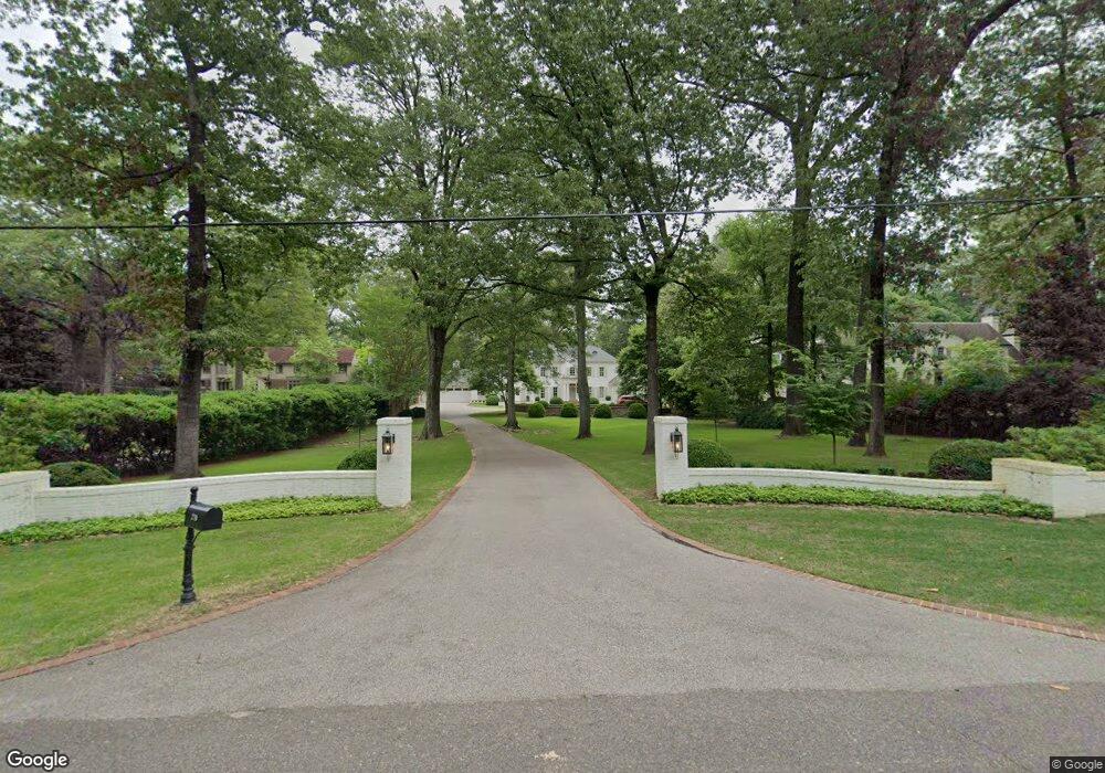
270 Cherry Cir W Memphis, TN 38117
East Memphis NeighborhoodEstimated Value: $998,000 - $2,269,766
5
Beds
8
Baths
7,395
Sq Ft
$247/Sq Ft
Est. Value
About This Home
This home is located at 270 Cherry Cir W, Memphis, TN 38117 and is currently estimated at $1,829,922, approximately $247 per square foot. 270 Cherry Cir W is a home located in Shelby County with nearby schools including White Station Elementary School, White Station High, and White Station Middle.
Ownership History
Date
Name
Owned For
Owner Type
Purchase Details
Closed on
Jan 4, 2010
Sold by
Hewgley Michael E
Bought by
Zanone Philip R and Zanone Morgan C
Current Estimated Value
Home Financials for this Owner
Home Financials are based on the most recent Mortgage that was taken out on this home.
Original Mortgage
$825,000
Interest Rate
4.68%
Mortgage Type
Credit Line Revolving
Purchase Details
Closed on
Jun 30, 2005
Sold by
Sherman Rebecca L and Sherman Charles R
Bought by
King John C and King Stephanie L
Home Financials for this Owner
Home Financials are based on the most recent Mortgage that was taken out on this home.
Original Mortgage
$400,000
Interest Rate
5.5%
Mortgage Type
Fannie Mae Freddie Mac
Create a Home Valuation Report for This Property
The Home Valuation Report is an in-depth analysis detailing your home's value as well as a comparison with similar homes in the area
Home Values in the Area
Average Home Value in this Area
Purchase History
| Date | Buyer | Sale Price | Title Company |
|---|---|---|---|
| Zanone Philip R | -- | Mid South Title Services Llc | |
| Hewgley Michael E | $1,051,512 | Mid South Title Services Llc | |
| King John C | $500,000 | -- |
Source: Public Records
Mortgage History
| Date | Status | Borrower | Loan Amount |
|---|---|---|---|
| Closed | Hewgley Michael E | $825,000 | |
| Previous Owner | King John C | $400,000 |
Source: Public Records
Tax History
| Year | Tax Paid | Tax Assessment Tax Assessment Total Assessment is a certain percentage of the fair market value that is determined by local assessors to be the total taxable value of land and additions on the property. | Land | Improvement |
|---|---|---|---|---|
| 2025 | $17,456 | $563,325 | $209,825 | $353,500 |
| 2024 | $10,857 | $514,925 | $156,225 | $358,700 |
| 2023 | $19,510 | $320,275 | $156,225 | $164,050 |
| 2022 | $19,510 | $320,275 | $156,225 | $164,050 |
| 2021 | $19,739 | $320,275 | $156,225 | $164,050 |
| 2020 | $24,031 | $331,650 | $156,225 | $175,425 |
| 2019 | $24,031 | $331,650 | $156,225 | $175,425 |
| 2018 | $24,031 | $331,650 | $156,225 | $175,425 |
| 2017 | $13,631 | $331,650 | $156,225 | $175,425 |
| 2016 | $13,408 | $306,825 | $0 | $0 |
| 2014 | $13,408 | $306,825 | $0 | $0 |
Source: Public Records
Map
Nearby Homes
- 311 E Cherry Cir
- 4386 W Cherry Place Dr
- 371 W Cherry Cir
- 326 Cherry Cir E
- 4359 W Cherry Place Dr
- 4286 Poplar Ave
- 4400 Poplar Ave Unit 28
- 4400 Poplar Ave Unit 38
- 4400 Poplar Ave Unit 21
- 439 Cherry Hall Place
- 244 S Grove Park Rd
- 4366 Tuckahoe Rd
- 271 Wakefield Dr
- 4206 Poplar Ave
- 4204 Boxwood Green Ln
- 418 Woodmere Ln
- 4167 Meade Village Cove W
- 404 Williamsburg Ln
- 4142 Poplar Ave
- 159 Perkins Extension
- 270 Cherry Cir W
- 260 W Cherry Cir
- 276 W Cherry Cir
- 256 W Cherry Cir
- 303 E Cherry Cir
- 280 W Cherry Cir
- 283 E Cherry Cir
- 279 E Cherry Cir
- 250 W Cherry Cir
- 259 Cherry Cir W
- 259 Cherry Cir W
- 315 Cherry Cir E
- 251 Cherry Cir E
- 4374 W Cherry Place Dr
- 4380 W Cherry Place Dr
- 4370 W Cherry Place Dr
- 4366 W Cherry Place Dr
- 329 E Cherry Cir
- 238 W Cherry Cir
- 4352 W Cherry Place Dr
Your Personal Tour Guide
Ask me questions while you tour the home.