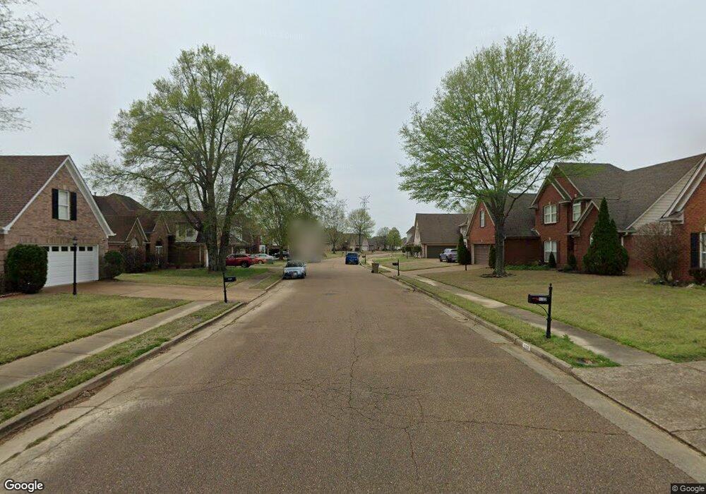
270 N Hall Rd Cordova, TN 38018
Gray's Creek NeighborhoodEstimated Value: $402,000 - $2,803,000
3
Beds
2
Baths
2,187
Sq Ft
$477/Sq Ft
Est. Value
About This Home
This home is located at 270 N Hall Rd, Cordova, TN 38018 and is currently estimated at $1,043,851, approximately $477 per square foot. 270 N Hall Rd is a home with nearby schools including Macon-Hall Elementary School, Mt. Pisgah Middle School, and Germantown High School.
Ownership History
Date
Name
Owned For
Owner Type
Purchase Details
Closed on
Jan 7, 2021
Sold by
Mcgoldrick Teresa Swain and Finerson Angela Swain
Bought by
Finerson Angela Swain and Angela Swain Finerson Trust
Current Estimated Value
Purchase Details
Closed on
Aug 18, 2016
Sold by
Swain William R and Swain Wanda M
Bought by
Swain Wanda M and Bill And Wanda Swain Living Trust
Purchase Details
Closed on
Nov 1, 2000
Sold by
Rosenberg Natalie
Bought by
Orgel Family Lp and Weiss Family Lp
Create a Home Valuation Report for This Property
The Home Valuation Report is an in-depth analysis detailing your home's value as well as a comparison with similar homes in the area
Home Values in the Area
Average Home Value in this Area
Purchase History
| Date | Buyer | Sale Price | Title Company |
|---|---|---|---|
| Finerson Angela Swain | -- | None Available | |
| Swain Wanda M | -- | None Available | |
| Orgel Family Lp | $1,750,000 | -- |
Source: Public Records
Tax History Compared to Growth
Tax History
| Year | Tax Paid | Tax Assessment Tax Assessment Total Assessment is a certain percentage of the fair market value that is determined by local assessors to be the total taxable value of land and additions on the property. | Land | Improvement |
|---|---|---|---|---|
| 2025 | $4,049 | $135,200 | $83,025 | $52,175 |
| 2024 | $4,049 | $119,425 | $77,100 | $42,325 |
| 2023 | $4,049 | $119,425 | $77,100 | $42,325 |
| 2022 | $4,049 | $119,425 | $77,100 | $42,325 |
| 2021 | $4,120 | $119,425 | $77,100 | $42,325 |
| 2020 | $3,930 | $97,025 | $71,175 | $25,850 |
| 2019 | $3,930 | $97,025 | $71,175 | $25,850 |
| 2018 | $3,930 | $97,025 | $71,175 | $25,850 |
| 2017 | $3,988 | $97,025 | $71,175 | $25,850 |
| 2016 | $4,132 | $94,550 | $0 | $0 |
| 2014 | $4,132 | $94,550 | $0 | $0 |
Source: Public Records
Map
Nearby Homes
- 9951 Kemrock Dr S
- 314 Delphinium Dr E
- 318 Delphinium Dr E
- 324 Delphinium Dr E
- 338 Delphinium Dr E
- 9943 Delphinium Dr N
- 9947 Delphinium Dr N
- 9951 Delphinium Dr N
- Patton Plan at Amherst
- Spencer Plan at Amherst
- Kincaid Plan at Amherst
- Carson Plan at Amherst
- Beckett Plan at Amherst
- Cooper Plan at Amherst
- 9935 Delphinium Dr N
- 460 N Country Way Dr
- 0 Lexington Manor Cove Unit 10207168
- 0 Lexington Manor Cove Unit 22 10185176
- 9958 Delphinium Dr N
- 360 Lexington Manor Dr
- 307 N Houston Levee Rd
- 368 N Houston Levee Rd
- 300 N Hall Rd
- 377 N Houston Levee Rd
- 9956 Kemrock Dr Unit 36693708
- 10214 Country Air Cove
- 10217 Country Air Cove
- 9985 Holly Grove Rd
- 352 N Houston Levee Rd
- 9963 Holly Grove Rd
- 10003 Holly Grove Rd
- 315 N Country Way Dr
- 10235 Country Air Cove
- 345 N Country Way Dr
- 10193 Kentwood Estates Dr
- 195 N Country Way Dr
- 305 N Country Way Dr
- 9941 Holly Grove Rd
- 10255 Country Air Cove
- 10215 Kentwood Estates Dr
