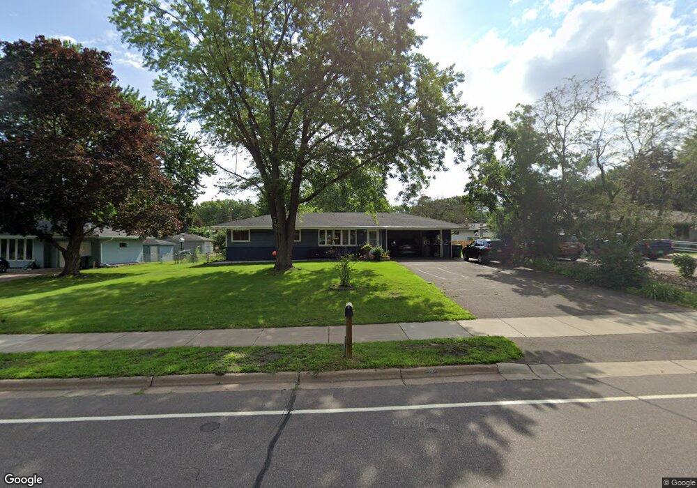
2700 Western Ave N Saint Paul, MN 55113
South Owasso NeighborhoodEstimated Value: $343,724 - $391,000
3
Beds
2
Baths
1,580
Sq Ft
$229/Sq Ft
Est. Value
About This Home
This home is located at 2700 Western Ave N, Saint Paul, MN 55113 and is currently estimated at $362,431, approximately $229 per square foot. 2700 Western Ave N is a home located in Ramsey County with nearby schools including Central Park Elementary School, Roseville Area Middle School, and Roseville Area Senior High School.
Ownership History
Date
Name
Owned For
Owner Type
Purchase Details
Closed on
Nov 13, 1999
Sold by
Lilla Margaret L
Bought by
Lepage Jeanne M and Lepage Scott
Current Estimated Value
Purchase Details
Closed on
May 5, 1998
Sold by
Lilla Margaret L
Bought by
Sandberg Jeanne M
Purchase Details
Closed on
Sep 15, 1997
Sold by
Pudwill Donna M
Bought by
Lilla Margaret L
Create a Home Valuation Report for This Property
The Home Valuation Report is an in-depth analysis detailing your home's value as well as a comparison with similar homes in the area
Home Values in the Area
Average Home Value in this Area
Purchase History
| Date | Buyer | Sale Price | Title Company |
|---|---|---|---|
| Lepage Jeanne M | $128,000 | -- | |
| Sandberg Jeanne M | $128,000 | -- | |
| Lilla Margaret L | $99,272 | -- |
Source: Public Records
Mortgage History
| Date | Status | Borrower | Loan Amount |
|---|---|---|---|
| Closed | Sandberg Jeanne M | -- |
Source: Public Records
Tax History Compared to Growth
Tax History
| Year | Tax Paid | Tax Assessment Tax Assessment Total Assessment is a certain percentage of the fair market value that is determined by local assessors to be the total taxable value of land and additions on the property. | Land | Improvement |
|---|---|---|---|---|
| 2025 | $4,354 | $331,900 | $95,000 | $236,900 |
| 2023 | $4,354 | $315,200 | $85,500 | $229,700 |
| 2022 | $4,004 | $295,200 | $85,500 | $209,700 |
| 2021 | $3,328 | $274,700 | $85,500 | $189,200 |
| 2020 | $3,522 | $247,700 | $76,000 | $171,700 |
| 2019 | $3,438 | $245,500 | $76,000 | $169,500 |
| 2018 | $3,318 | $234,300 | $78,400 | $155,900 |
| 2017 | $2,798 | $221,700 | $78,400 | $143,300 |
| 2016 | $2,782 | $0 | $0 | $0 |
| 2015 | $3,008 | $198,000 | $80,700 | $117,300 |
| 2014 | $2,752 | $0 | $0 | $0 |
Source: Public Records
Map
Nearby Homes
- 387 Iona Ln
- 437 County Road C W
- 2687 Galtier St
- 2720 MacKubin St
- 405 Judith Ave
- 2814 Matilda St
- 2821 Galtier St
- 540 Woodhill Dr Unit 71
- 2841 Galtier St
- 2802 Marion St
- 556 County Road C W
- 405 Brooks Ave W
- 2730 Dale St N Unit D101
- 2710 Dale St N Unit B212
- 2720 Dale St N Unit C208
- 2507 Woodbridge St
- 2970 Western Ave N
- 667 County Road C W
- 500 County Road B2 W
- 330 Grandview Ave W
- 2692 Western Ave N
- 2708 Western Ave N
- 2695 Virginia Ave
- 2703 Virginia Ave
- 2687 Virginia Ave
- 2711 Virginia Ave
- 2716 Western Ave N
- 395 Rambler Ct
- 2679 Virginia Ave
- 2719 Virginia Ave
- 390 Rambler Ct
- 2671 Virginia Ave
- 2698 Virginia Ave
- 2727 Virginia Ave
- 2673 Western Ave N
- 2706 Virginia Ave
- 401 Rambler Ct
- 2690 Virginia Ave
- 2716 Virginia Ave
- 2682 Virginia Ave