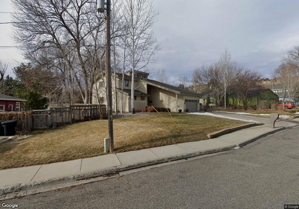
2702 Hoover Ave Billings, MT 59102
North Central Billings NeighborhoodEstimated Value: $474,000 - $549,000
4
Beds
3
Baths
2,496
Sq Ft
$207/Sq Ft
Est. Value
About This Home
This home is located at 2702 Hoover Ave, Billings, MT 59102 and is currently estimated at $516,563, approximately $206 per square foot. 2702 Hoover Ave is a home located in Yellowstone County with nearby schools including Rose Park School, Lewis & Clark Junior High School, and Billings Senior High School.
Ownership History
Date
Name
Owned For
Owner Type
Purchase Details
Closed on
Dec 20, 2005
Sold by
Korell Jacob B and Korell Karen
Bought by
Thompson Timothy S and Thompson Cindy E
Current Estimated Value
Home Financials for this Owner
Home Financials are based on the most recent Mortgage that was taken out on this home.
Original Mortgage
$125,000
Outstanding Balance
$68,728
Interest Rate
6%
Mortgage Type
New Conventional
Estimated Equity
$447,835
Create a Home Valuation Report for This Property
The Home Valuation Report is an in-depth analysis detailing your home's value as well as a comparison with similar homes in the area
Home Values in the Area
Average Home Value in this Area
Purchase History
| Date | Buyer | Sale Price | Title Company |
|---|---|---|---|
| Thompson Timothy S | -- | None Available |
Source: Public Records
Mortgage History
| Date | Status | Borrower | Loan Amount |
|---|---|---|---|
| Open | Thompson Timothy S | $125,000 |
Source: Public Records
Tax History Compared to Growth
Tax History
| Year | Tax Paid | Tax Assessment Tax Assessment Total Assessment is a certain percentage of the fair market value that is determined by local assessors to be the total taxable value of land and additions on the property. | Land | Improvement |
|---|---|---|---|---|
| 2025 | $4,440 | $513,200 | $68,298 | $444,902 |
| 2024 | $4,440 | $455,700 | $64,591 | $391,109 |
| 2023 | $4,452 | $455,700 | $64,591 | $391,109 |
| 2022 | $3,536 | $374,500 | $0 | $0 |
| 2021 | $3,934 | $374,500 | $0 | $0 |
| 2020 | $4,277 | $393,400 | $0 | $0 |
| 2019 | $4,080 | $393,400 | $0 | $0 |
| 2018 | $4,221 | $401,100 | $0 | $0 |
| 2017 | $4,012 | $391,900 | $0 | $0 |
| 2016 | $3,745 | $369,600 | $0 | $0 |
| 2015 | $3,661 | $369,600 | $0 | $0 |
| 2014 | $2,859 | $150,997 | $0 | $0 |
Source: Public Records
Map
Nearby Homes
- 1833 Iris Ln
- 2042 Green Terrace Dr
- 2124 Dahlia Ln
- 1734 Mariposa Ln
- 1944 Colton Blvd
- 2206 Green Terrace Dr
- 2021 Beverly Hill Blvd
- 3226 Country Club Cir
- 1745 Parkhill Dr
- 46 Shadow Place Unit 6B
- 56 Shadow Place
- 24 Heatherwood Ln Unit 12D
- 1440 Granite Ave
- 1444 Colton Blvd
- 2035 Avenue D
- 1400 Poly Dr Unit 4D
- 41 Heatherwood Ln
- 2907 Brentwood Ln
- 2422 Brentwood Ln
- 1436 Parkhill Dr
- 2540 Hoover Ave
- 2708 Hoover Ave
- 2532 Hoover Ave
- 2702 Vigilante Trail
- 2710 Hoover Ave
- 2619 Hoover Ave
- 2615 Hoover Ave
- 2611 Hoover Ave
- 2526 Hoover Ave
- 2607 Hoover Ave
- 2707 Hoover Ave
- 2714 Hoover Ave
- 2704 Vigilante Trail
- 2706 Vigilante Trail
- 2601 Hoover Ave
- 2711 Hoover Ave
- 2520 Hoover Ave
- 2551 Magnolia Place
- 2520 Wildwood Way
- 1961 Pryor Ln