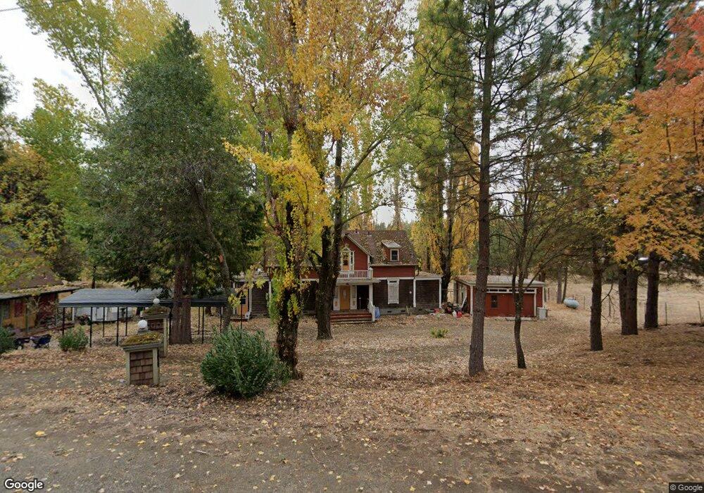
2708 Shilo Dr Placerville, CA 95667
Estimated Value: $265,000 - $671,000
2
Beds
3
Baths
1,126
Sq Ft
$401/Sq Ft
Est. Value
About This Home
This home is located at 2708 Shilo Dr, Placerville, CA 95667 and is currently estimated at $451,333, approximately $400 per square foot. 2708 Shilo Dr is a home located in El Dorado County with nearby schools including El Dorado High School.
Ownership History
Date
Name
Owned For
Owner Type
Purchase Details
Closed on
Feb 20, 2018
Sold by
Marotta Charles T
Bought by
Foulds Jeremy M
Current Estimated Value
Purchase Details
Closed on
Aug 31, 2007
Sold by
Marotta Charles T
Bought by
Marotta Charles T
Purchase Details
Closed on
Mar 18, 2004
Sold by
Marotta Charles T
Bought by
Marotta Charles T and Marotta Clarine A
Create a Home Valuation Report for This Property
The Home Valuation Report is an in-depth analysis detailing your home's value as well as a comparison with similar homes in the area
Home Values in the Area
Average Home Value in this Area
Purchase History
| Date | Buyer | Sale Price | Title Company |
|---|---|---|---|
| Foulds Jeremy M | -- | None Available | |
| Marotta Charles T | -- | None Available | |
| Marotta Charles T | -- | -- |
Source: Public Records
Tax History
| Year | Tax Paid | Tax Assessment Tax Assessment Total Assessment is a certain percentage of the fair market value that is determined by local assessors to be the total taxable value of land and additions on the property. | Land | Improvement |
|---|---|---|---|---|
| 2025 | $2,543 | $229,505 | $71,659 | $157,846 |
| 2024 | $2,543 | $225,005 | $70,254 | $154,751 |
| 2023 | $2,495 | $220,594 | $68,877 | $151,717 |
| 2022 | $2,482 | $216,270 | $67,527 | $148,743 |
| 2021 | $2,455 | $212,030 | $66,203 | $145,827 |
| 2020 | $2,421 | $209,857 | $65,525 | $144,332 |
| 2019 | $2,393 | $205,743 | $64,241 | $141,502 |
| 2018 | $2,146 | $184,728 | $40,162 | $144,566 |
| 2017 | $2,250 | $193,561 | $52,982 | $140,579 |
| 2016 | $2,217 | $189,767 | $51,944 | $137,823 |
| 2015 | $2,160 | $186,918 | $51,165 | $135,753 |
| 2014 | $1,735 | $146,257 | $50,163 | $96,094 |
Source: Public Records
Map
Nearby Homes
- 2629 Shilo Dr
- 2597 Shilo Dr
- 3025 Buckboard Rd
- 9030 Orval Beckett Ct
- 6570 Mosquito Rd
- 2639 Gold Ct
- 1767 Swansboro Rd
- 7021 Stope Ct
- 3561 Stope Dr
- 6101 Keeble Ln
- 3196 Pine Cone Ct
- 3200 1 Eye Creek Rd
- 6560 Log Cabin Ln
- 6410 Log Cabin Ln
- 1610 Swansboro Rd
- 6324 Dickinson Rd
- 3000 Gravel Ct
- 2700 Dancing Oaks Rd
- 2640 Sky Ranch Ln
- 10180 Rock Creek Rd
- 175 Shilo Dr
- 2671 Gold Trail
- 2732 Shilo Dr
- 0 Gold Rock Rd
- 2711 Shilo Dr
- 7040 Amber Way
- 7130 Gold Rock Rd
- 2660 Shilo Dr
- 2677 Shilo Dr
- 2641 Gold Trail
- 2661 Shilo Dr
- 2740 Gold Trail
- 2652 Gold Trail
- 0 Amber Way
- 2643 Shilo Dr
- 2828 Buckboard Rd
- 2848 Buckboard Rd
- 2636 Gold Trail
- 7015 Amber Way
- 2800 Buckboard Rd
Your Personal Tour Guide
Ask me questions while you tour the home.