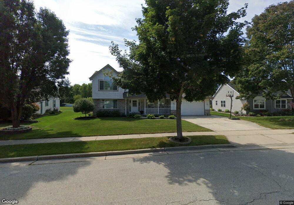
2709 Darrell Dr Waukesha, WI 53188
Estimated Value: $512,000 - $571,446
4
Beds
3
Baths
2,279
Sq Ft
$237/Sq Ft
Est. Value
About This Home
This home is located at 2709 Darrell Dr, Waukesha, WI 53188 and is currently estimated at $539,862, approximately $236 per square foot. 2709 Darrell Dr is a home located in Waukesha County with nearby schools including Meadowbrook Elementary School, Butler Middle School, and North High School.
Ownership History
Date
Name
Owned For
Owner Type
Purchase Details
Closed on
Aug 1, 2014
Sold by
Swihart Kathleen
Bought by
Swanson Peter M and Swanson Constance J
Current Estimated Value
Home Financials for this Owner
Home Financials are based on the most recent Mortgage that was taken out on this home.
Original Mortgage
$205,000
Outstanding Balance
$156,312
Interest Rate
4.11%
Mortgage Type
New Conventional
Estimated Equity
$383,550
Purchase Details
Closed on
Apr 3, 2007
Sold by
Baumbach Jeff J and Baumbach Tiffany M
Bought by
Swihart Andrew and Swihart Kathleen
Home Financials for this Owner
Home Financials are based on the most recent Mortgage that was taken out on this home.
Original Mortgage
$245,600
Interest Rate
6.19%
Mortgage Type
Purchase Money Mortgage
Create a Home Valuation Report for This Property
The Home Valuation Report is an in-depth analysis detailing your home's value as well as a comparison with similar homes in the area
Home Values in the Area
Average Home Value in this Area
Purchase History
| Date | Buyer | Sale Price | Title Company |
|---|---|---|---|
| Swanson Peter M | $280,000 | None Available | |
| Swihart Andrew | $307,000 | Priority Title Corporation |
Source: Public Records
Mortgage History
| Date | Status | Borrower | Loan Amount |
|---|---|---|---|
| Open | Swanson Peter M | $205,000 | |
| Previous Owner | Swihart Andrew | $245,600 |
Source: Public Records
Tax History Compared to Growth
Tax History
| Year | Tax Paid | Tax Assessment Tax Assessment Total Assessment is a certain percentage of the fair market value that is determined by local assessors to be the total taxable value of land and additions on the property. | Land | Improvement |
|---|---|---|---|---|
| 2024 | $7,361 | $489,700 | $131,000 | $358,700 |
| 2023 | $7,177 | $489,700 | $131,000 | $358,700 |
| 2022 | $6,610 | $340,200 | $93,700 | $246,500 |
| 2021 | $6,780 | $340,200 | $93,700 | $246,500 |
| 2020 | $6,530 | $340,200 | $93,700 | $246,500 |
| 2019 | $6,338 | $340,200 | $93,700 | $246,500 |
| 2018 | $5,978 | $315,000 | $81,000 | $234,000 |
| 2017 | $5,663 | $300,300 | $81,000 | $219,300 |
| 2016 | $5,755 | $280,700 | $76,600 | $204,100 |
| 2015 | $5,704 | $280,700 | $76,600 | $204,100 |
| 2014 | $5,479 | $264,800 | $76,600 | $188,200 |
| 2013 | $5,508 | $264,800 | $76,600 | $188,200 |
Source: Public Records
Map
Nearby Homes
- 2605 Emslie Dr
- 2732 Northview Rd Unit 88
- 2728 Northview Rd Unit 61
- The Adalyn Plan at Tallgrass - Villas
- 2312 Judith Ln
- 2127 Bluestem Dr Unit 101
- 2145 Broken Hill Rd Unit 5
- 2119 Bluestem Dr Unit 201
- 2125 Bluestem Dr Unit 102
- 2912 Willard Ln
- 2117 Bluestem Dr Unit 202
- 2106 Bluestem Dr Unit 1301
- 2108 Bluestem Dr Unit 1302
- 2339 Bramblewood Ct
- 1917 Tree Line Ct
- 3014 Plymouth Ct
- 2912 N University Dr Unit 305
- 2912 N University Dr Unit 208
- 2112 Woodburn Rd Unit E
- 2013 Woodburn Rd Unit A
- 2705 Darrell Dr
- 2715 Darrell Dr
- 2746 Sandra Ln Unit 2746
- 2748 Sandra Ln
- 2328 N University Dr
- 2309 Patrick Ln
- 2332 N University Dr
- 2336 N University Dr
- 2742 Sandra Ln Unit 2742
- 2744 Sandra Ln
- 2752 Sandra Ln Unit 2752
- 2750 Sandra Ln Unit 2750
- 2305 Patrick Ln
- 2710 Darrell Dr
- 2706 Darrell Dr
- 2324 N University Dr
- 2315 Patrick Ln
- 2350 N University Dr
- 2756 Sandra Ln Unit 2756
- 2754 Sandra Ln Unit 2754