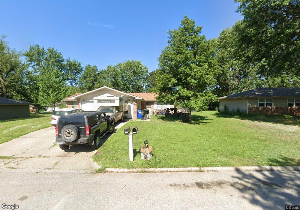
2709 Ousdahl Rd Lawrence, KS 66046
Estimated Value: $252,000 - $262,161
4
Beds
2
Baths
1,776
Sq Ft
$146/Sq Ft
Est. Value
About This Home
This home is located at 2709 Ousdahl Rd, Lawrence, KS 66046 and is currently estimated at $258,790, approximately $145 per square foot. 2709 Ousdahl Rd is a home located in Douglas County with nearby schools including Billy Mills Middle School, Lawrence High School, and Bishop Seabury Academy.
Ownership History
Date
Name
Owned For
Owner Type
Purchase Details
Closed on
May 4, 2024
Sold by
Sharon K Leftwich Revocable Trust and Beasley Shelly Jo
Bought by
Beasley Family Properties Llc
Current Estimated Value
Purchase Details
Closed on
Sep 8, 2004
Sold by
Hardister Patricia
Bought by
Beasley Family Properties Llc
Home Financials for this Owner
Home Financials are based on the most recent Mortgage that was taken out on this home.
Original Mortgage
$135,000
Interest Rate
5.95%
Mortgage Type
Purchase Money Mortgage
Create a Home Valuation Report for This Property
The Home Valuation Report is an in-depth analysis detailing your home's value as well as a comparison with similar homes in the area
Home Values in the Area
Average Home Value in this Area
Purchase History
| Date | Buyer | Sale Price | Title Company |
|---|---|---|---|
| Beasley Family Properties Llc | -- | None Listed On Document | |
| Beasley Family Properties Llc | -- | Kansas Secured Title |
Source: Public Records
Mortgage History
| Date | Status | Borrower | Loan Amount |
|---|---|---|---|
| Previous Owner | Beasley Family Properties Llc | $135,000 |
Source: Public Records
Tax History Compared to Growth
Tax History
| Year | Tax Paid | Tax Assessment Tax Assessment Total Assessment is a certain percentage of the fair market value that is determined by local assessors to be the total taxable value of land and additions on the property. | Land | Improvement |
|---|---|---|---|---|
| 2025 | $3,209 | $27,497 | $5,750 | $21,747 |
| 2024 | $3,209 | $26,358 | $5,405 | $20,953 |
| 2023 | $3,194 | $25,093 | $5,175 | $19,918 |
| 2022 | $2,992 | $23,368 | $4,830 | $18,538 |
| 2021 | $2,685 | $20,225 | $3,795 | $16,430 |
| 2020 | $2,258 | $17,147 | $3,795 | $13,352 |
| 2019 | $1,944 | $14,824 | $3,449 | $11,375 |
| 2018 | $1,976 | $14,950 | $3,449 | $11,501 |
| 2017 | $1,965 | $14,709 | $3,449 | $11,260 |
| 2016 | $1,941 | $15,169 | $2,760 | $12,409 |
| 2015 | -- | $15,456 | $2,760 | $12,696 |
| 2014 | -- | $15,606 | $2,760 | $12,846 |
Source: Public Records
Map
Nearby Homes
- 1834 W 27th Terrace
- 1214 W 29th Ct
- 2728 Chipperfield Rd
- 2726 Chipperfield Rd
- 2439 Jasu Dr
- 1114 W 25th St
- 2912 Harrison Ave
- 731 W 25th St
- 3003 W 29th Terrace
- 1620 W 20th Terrace
- 3013 W 23rd Terrace
- 2421 Atchison Ave
- 1738 W 20th St
- 3024 W 23rd Terrace
- 314 Oklahoma St
- 2223 Breckenridge Dr
- 2218 Vail Way
- 3009 Atchison Way
- 2407 Yosemite Dr
- 3307 W 26th St
- 2705 Ousdahl Rd
- 2713 Ousdahl Rd
- 2710 Ridge Ct
- 2706 Ridge Ct
- 2714 Ridge Ct
- 1843 W 27th Terrace
- 1842 W 27th
- 1842 W 27th Terrace
- 2717 Ousdahl Rd
- 1903 W 27th St
- 2718 Ridge Ct
- 2702 Ridge Ct
- 1842 W 28th St
- 2711 Ridge Ct
- 1621 W 27th St
- 2707 Ridge Ct
- 2707 Ridge Ct Unit B
- 1838 W 27th Terrace
- 1839 W 27th Terrace
- 2002 W 27th Terrace
