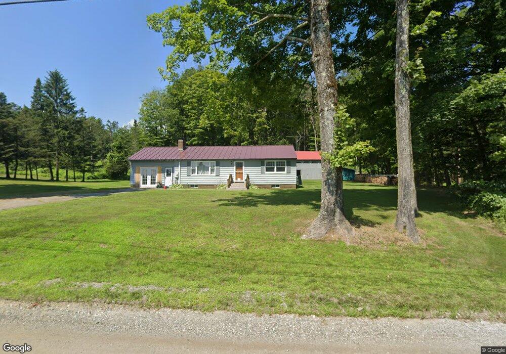
271 E Colrain Rd Colrain, MA 01340
Colrain NeighborhoodEstimated Value: $299,727 - $360,000
2
Beds
1
Bath
960
Sq Ft
$354/Sq Ft
Est. Value
About This Home
This home is located at 271 E Colrain Rd, Colrain, MA 01340 and is currently estimated at $340,182, approximately $354 per square foot. 271 E Colrain Rd is a home located in Franklin County with nearby schools including Mohawk Trail Regional High School.
Ownership History
Date
Name
Owned For
Owner Type
Purchase Details
Closed on
Dec 8, 2023
Sold by
Hosmer Bradley S
Bought by
See Yah When I See Yah T and See Hosmer
Current Estimated Value
Purchase Details
Closed on
Dec 2, 1991
Sold by
Coy Rick L and Coy Christina L
Bought by
Hosmer Bradley S and Hosmer Nancy
Home Financials for this Owner
Home Financials are based on the most recent Mortgage that was taken out on this home.
Original Mortgage
$86,465
Interest Rate
8.72%
Mortgage Type
Purchase Money Mortgage
Create a Home Valuation Report for This Property
The Home Valuation Report is an in-depth analysis detailing your home's value as well as a comparison with similar homes in the area
Home Values in the Area
Average Home Value in this Area
Purchase History
| Date | Buyer | Sale Price | Title Company |
|---|---|---|---|
| See Yah When I See Yah T | -- | None Available | |
| Hosmer Bradley S | $97,500 | -- |
Source: Public Records
Mortgage History
| Date | Status | Borrower | Loan Amount |
|---|---|---|---|
| Previous Owner | Hosmer Bradley S | $136,000 | |
| Previous Owner | Hosmer Bradley S | $116,250 | |
| Previous Owner | Hosmer Bradley S | $86,465 | |
| Closed | Hosmer Bradley S | $11,030 |
Source: Public Records
Tax History Compared to Growth
Tax History
| Year | Tax Paid | Tax Assessment Tax Assessment Total Assessment is a certain percentage of the fair market value that is determined by local assessors to be the total taxable value of land and additions on the property. | Land | Improvement |
|---|---|---|---|---|
| 2025 | $4,017 | $220,000 | $45,000 | $175,000 |
| 2024 | $3,623 | $190,900 | $45,000 | $145,900 |
| 2023 | $3,526 | $179,600 | $44,500 | $135,100 |
| 2022 | $3,609 | $176,200 | $39,800 | $136,400 |
| 2021 | $3,477 | $164,300 | $39,000 | $125,300 |
| 2020 | $3,209 | $161,000 | $39,000 | $122,000 |
| 2019 | $3,264 | $158,700 | $39,000 | $119,700 |
| 2018 | $3,145 | $155,400 | $39,000 | $116,400 |
| 2017 | $3,083 | $156,500 | $39,000 | $117,500 |
| 2016 | $2,858 | $153,000 | $39,000 | $114,000 |
| 2015 | $2,786 | $154,000 | $39,000 | $115,000 |
Source: Public Records
Map
Nearby Homes
- 151 Smead Hill Rd
- 00 Brook Rd
- 218 Greenfield Rd
- 336 Plain Rd
- 319 Greenfield Rd
- 187 Plain Rd
- 34 Brookside Ave
- 4 Pickett Ln
- 6 Pickett Ln
- 83 Eden Trail Branch
- 71 George Lamb Rd
- 3+5 Church St
- 72 Meadowood Dr
- 360 Davis St
- 23-25 Alden St
- 311 Chapman St
- 414 Mohawk Trail
- 696 Bernardston Rd
- 24 Pine St
- 372 Federal St
- 267 E Colrain Rd
- 262 E Colrain Rd
- 261 E Colrain Rd
- 161 Van Nuys Rd
- 145 Van Nuys Rd
- 253 E Colrain Rd
- 120 Smead Hill Rd
- 252 E Colrain Rd
- 7 Shearer Rd
- 268 E Colrain Rd
- 246 E Colrain Rd
- 208 Smead Hill Rd
- 238 E Colrain Rd
- 28 Shearer Rd
- 0 Shearer Rd
- 38 Shearer Rd
- 106 Van Nuys Rd
- 105 Van Nuys Rd
- 180 Smead Hill Rd
- 47 Shearer Rd