Estimated Value: $281,049 - $327,000
4
Beds
2
Baths
1,976
Sq Ft
$157/Sq Ft
Est. Value
About This Home
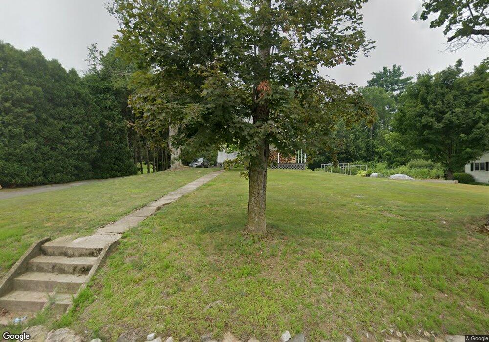
This home is located at 271 Palmer Rd, Ware, MA 01082 and is currently estimated at $309,262, approximately $156 per square foot. 271 Palmer Rd is a home located in Hampshire County with nearby schools including Stanley M. Koziol Elementary School, Ware Middle School, and Ware Junior/Senior High School.
Ownership History
Date
Name
Owned For
Owner Type
Purchase Details
Closed on
Jan 13, 2016
Sold by
Devanski G John G and Devanski Gregory J
Bought by
Devanski G John
Current Estimated Value
Home Financials for this Owner
Home Financials are based on the most recent Mortgage that was taken out on this home.
Original Mortgage
$108,000
Outstanding Balance
$85,000
Interest Rate
3.97%
Mortgage Type
New Conventional
Estimated Equity
$224,262
Purchase Details
Closed on
Oct 30, 2003
Sold by
Daignault Bertrand R and Daignault Patricia E
Bought by
Devanski Gregory J and Smith Melanie J
Home Financials for this Owner
Home Financials are based on the most recent Mortgage that was taken out on this home.
Original Mortgage
$130,500
Interest Rate
6.05%
Mortgage Type
Purchase Money Mortgage
Create a Home Valuation Report for This Property
The Home Valuation Report is an in-depth analysis detailing your home's value as well as a comparison with similar homes in the area
Home Values in the Area
Average Home Value in this Area
Purchase History
| Date | Buyer | Sale Price | Title Company |
|---|---|---|---|
| Devanski G John | $18,500 | -- | |
| Devanski Gregory J | $155,000 | -- |
Source: Public Records
Mortgage History
| Date | Status | Borrower | Loan Amount |
|---|---|---|---|
| Open | Devanski G John | $108,000 | |
| Previous Owner | Devanski Gregory J | $130,500 |
Source: Public Records
Tax History
| Year | Tax Paid | Tax Assessment Tax Assessment Total Assessment is a certain percentage of the fair market value that is determined by local assessors to be the total taxable value of land and additions on the property. | Land | Improvement |
|---|---|---|---|---|
| 2025 | $3,681 | $244,400 | $45,800 | $198,600 |
| 2024 | $3,674 | $225,000 | $43,200 | $181,800 |
| 2023 | $3,721 | $215,600 | $41,600 | $174,000 |
| 2022 | $3,342 | $172,800 | $38,500 | $134,300 |
| 2021 | $3,148 | $156,000 | $38,500 | $117,500 |
| 2020 | $3,000 | $145,400 | $38,500 | $106,900 |
| 2019 | $2,939 | $145,400 | $38,500 | $106,900 |
| 2018 | $2,632 | $127,100 | $30,000 | $97,100 |
| 2017 | $2,617 | $126,000 | $30,000 | $96,000 |
| 2016 | $2,844 | $140,700 | $37,500 | $103,200 |
| 2015 | $2,765 | $140,700 | $37,500 | $103,200 |
| 2014 | $2,681 | $146,400 | $38,100 | $108,300 |
Source: Public Records
Map
Nearby Homes
- 310 Palmer Rd
- 201 West St
- LOT 3 Monson Turnpike Rd
- 201 Belchertown Rd
- 24 Clinton St
- 87 W Main St
- 30 Warebrook Village
- 375 Belchertown Rd
- 67 Babcock Tavern Rd
- 23 West St Unit 25
- 7 Webb Ct
- 60 Quaboag Valley Co Op St
- 44 South St
- Lot 16 Coldbrook Dr
- Lot 20 Coldbrook Dr
- Lot 22 Coldbrook Dr
- Lot 13 Coldbrook Dr
- Lot 25 Coldbrook Dr
- 48 North St Unit 1
- 79 Pleasant St
Your Personal Tour Guide
Ask me questions while you tour the home.