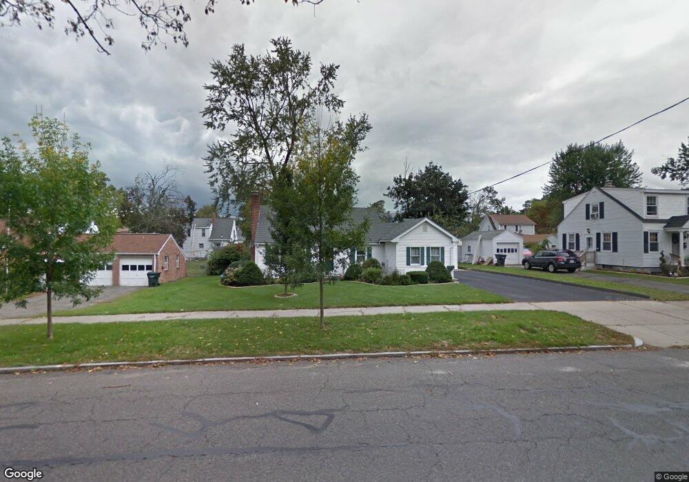
271 Roosevelt Ave Springfield, MA 01118
East Forest Park NeighborhoodEstimated Value: $317,000 - $349,000
3
Beds
2
Baths
1,470
Sq Ft
$229/Sq Ft
Est. Value
About This Home
This home is located at 271 Roosevelt Ave, Springfield, MA 01118 and is currently estimated at $336,302, approximately $228 per square foot. 271 Roosevelt Ave is a home located in Hampden County with nearby schools including Mary A. Dryden Veterans Memorial School, M Marcus Kiley Middle, and Springfield High School of Science and Technology.
Ownership History
Date
Name
Owned For
Owner Type
Purchase Details
Closed on
Dec 5, 1997
Sold by
Gentile Joseph L and Gentile Christine M
Bought by
Murphy Kathleen M
Current Estimated Value
Home Financials for this Owner
Home Financials are based on the most recent Mortgage that was taken out on this home.
Original Mortgage
$2,560
Interest Rate
7.15%
Purchase Details
Closed on
Oct 17, 1995
Sold by
Wilson Robert M and Wilson Maria T
Bought by
Gentile Joseph L and Gentile Christine M
Create a Home Valuation Report for This Property
The Home Valuation Report is an in-depth analysis detailing your home's value as well as a comparison with similar homes in the area
Home Values in the Area
Average Home Value in this Area
Purchase History
| Date | Buyer | Sale Price | Title Company |
|---|---|---|---|
| Murphy Kathleen M | $90,500 | -- | |
| Gentile Joseph L | $95,000 | -- |
Source: Public Records
Mortgage History
| Date | Status | Borrower | Loan Amount |
|---|---|---|---|
| Open | Gentile Joseph L | $65,300 | |
| Closed | Gentile Joseph L | $2,560 | |
| Closed | Gentile Joseph L | $80,500 |
Source: Public Records
Tax History
| Year | Tax Paid | Tax Assessment Tax Assessment Total Assessment is a certain percentage of the fair market value that is determined by local assessors to be the total taxable value of land and additions on the property. | Land | Improvement |
|---|---|---|---|---|
| 2025 | $4,931 | $314,500 | $47,700 | $266,800 |
| 2024 | $4,603 | $286,600 | $47,700 | $238,900 |
| 2023 | $4,522 | $265,200 | $45,500 | $219,700 |
| 2022 | $3,982 | $211,600 | $45,500 | $166,100 |
| 2021 | $3,931 | $208,000 | $41,300 | $166,700 |
| 2020 | $3,590 | $183,800 | $41,300 | $142,500 |
| 2019 | $3,546 | $180,200 | $41,300 | $138,900 |
| 2018 | $3,558 | $180,800 | $41,300 | $139,500 |
| 2017 | $3,556 | $180,900 | $41,300 | $139,600 |
| 2016 | $3,285 | $167,100 | $41,300 | $125,800 |
| 2015 | $3,279 | $166,700 | $41,300 | $125,400 |
Source: Public Records
Map
Nearby Homes
- 261 Roosevelt Ave
- 54 Ashbrook St
- 48 Ashbrook St
- 62 Ashbrook St
- 257 Roosevelt Ave
- 287 Roosevelt Ave
- 40 Ashbrook St
- 68 Ashbrook St
- 61 Brighton St
- 251 Roosevelt Ave
- 67 Brighton St
- 53 Brighton St
- 74 Ashbrook St
- 284 Roosevelt Ave
- 297 Roosevelt Ave
- 55 Ashbrook St
- 47 Ashbrook St
- 61 Ashbrook St
- 47 Brighton St
- 32 Ashbrook St
Your Personal Tour Guide
Ask me questions while you tour the home.