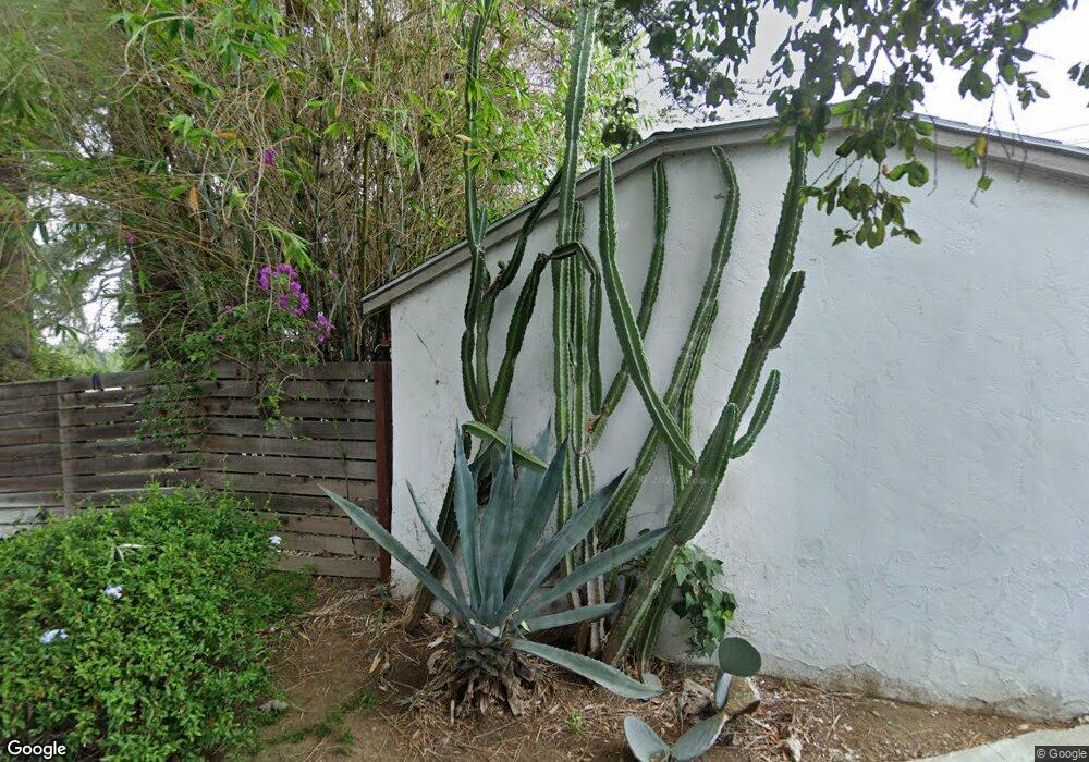
271 Wayland St Los Angeles, CA 90042
Estimated Value: $952,000 - $1,754,000
2
Beds
2
Baths
1,296
Sq Ft
$992/Sq Ft
Est. Value
About This Home
This home is located at 271 Wayland St, Los Angeles, CA 90042 and is currently estimated at $1,285,654, approximately $992 per square foot. 271 Wayland St is a home located in Los Angeles County with nearby schools including Garvanza Elementary, Richard Riordan Primary Center, and Monte Vista Street Elementary School.
Ownership History
Date
Name
Owned For
Owner Type
Purchase Details
Closed on
Oct 31, 2003
Sold by
Aoshima Eika
Bought by
Waller Robert and Williams Katherine
Current Estimated Value
Home Financials for this Owner
Home Financials are based on the most recent Mortgage that was taken out on this home.
Original Mortgage
$225,000
Outstanding Balance
$104,311
Interest Rate
6%
Mortgage Type
Purchase Money Mortgage
Estimated Equity
$1,181,343
Create a Home Valuation Report for This Property
The Home Valuation Report is an in-depth analysis detailing your home's value as well as a comparison with similar homes in the area
Home Values in the Area
Average Home Value in this Area
Purchase History
| Date | Buyer | Sale Price | Title Company |
|---|---|---|---|
| Waller Robert | $439,000 | Southland Title Company |
Source: Public Records
Mortgage History
| Date | Status | Borrower | Loan Amount |
|---|---|---|---|
| Open | Waller Robert | $225,000 |
Source: Public Records
Tax History Compared to Growth
Tax History
| Year | Tax Paid | Tax Assessment Tax Assessment Total Assessment is a certain percentage of the fair market value that is determined by local assessors to be the total taxable value of land and additions on the property. | Land | Improvement |
|---|---|---|---|---|
| 2025 | $7,555 | $624,147 | $538,849 | $85,298 |
| 2024 | $7,555 | $611,910 | $528,284 | $83,626 |
| 2023 | $7,409 | $599,913 | $517,926 | $81,987 |
| 2022 | $7,063 | $588,151 | $507,771 | $80,380 |
| 2021 | $6,975 | $576,619 | $497,815 | $78,804 |
| 2019 | $6,766 | $559,517 | $483,050 | $76,467 |
| 2018 | $6,721 | $548,547 | $473,579 | $74,968 |
| 2016 | $6,421 | $527,249 | $455,191 | $72,058 |
| 2015 | $6,327 | $519,330 | $448,354 | $70,976 |
| 2014 | $6,353 | $509,158 | $439,572 | $69,586 |
Source: Public Records
Map
Nearby Homes
- 300 La Follette Dr
- 263 Lamont Dr
- 6154 Mount Angelus Dr
- 6190 Mesa Ave
- 215 Branch St
- 422 N Avenue 61
- 5133 ,1/4,1/2 Baltimore St
- Residence 2 Plan at Arroyo Ridge
- Residence 1 Plan at Arroyo Ridge
- 300 S Avenue 58
- 234 Newland St
- 310 Branch St
- 5925 Hayes Ave
- 0 N Avenue 62
- 133 S Avenue 64
- 117 S Avenue 64
- 219 S Avenue 60
- 1476 N Avenue 57
- 1480 N Avenue 57
- 6417 La Riba Way
- 249 Wayland St
- 260 Wayland St
- 310 La Follette Dr
- 243 Wayland St
- 254 Wayland St
- 6142 Outlook Ave
- 278 La Follette Dr
- 272 Wayland St
- 268 La Follette Dr
- 268 Wayland St
- 248 Wayland St
- 260 La Follette Dr
- 237 Wayland St
- 242 Wayland St
- 238 La Follette Dr
- 275 Lamont Dr
- 232 La Follette Dr
- 252 La Follette Dr
- 6147 Outlook Ave
- 316 Livermore Terrace