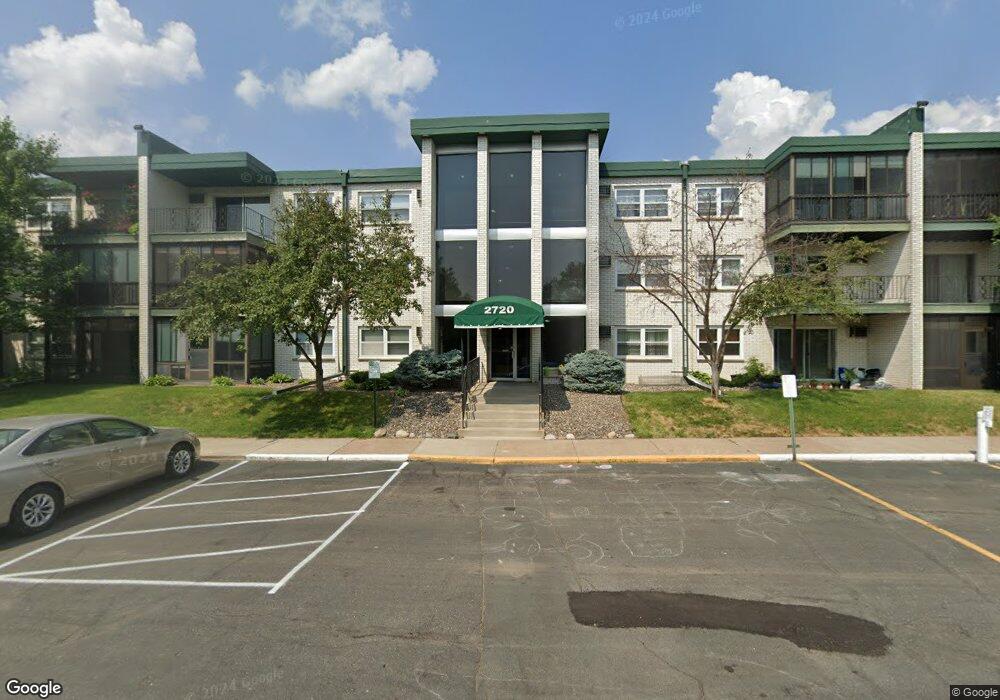
2720 Dale St N Unit C202 Saint Paul, MN 55113
South Owasso NeighborhoodEstimated Value: $166,000 - $180,000
2
Beds
2
Baths
1,050
Sq Ft
$163/Sq Ft
Est. Value
About This Home
This home is located at 2720 Dale St N Unit C202, Saint Paul, MN 55113 and is currently estimated at $171,264, approximately $163 per square foot. 2720 Dale St N Unit C202 is a home located in Ramsey County with nearby schools including Central Park Elementary School, Roseville Area Middle School, and Roseville Area Senior High School.
Ownership History
Date
Name
Owned For
Owner Type
Purchase Details
Closed on
Sep 23, 2021
Sold by
Simon Lisa G and Simon Gerald A
Bought by
Svitlica Divna
Current Estimated Value
Home Financials for this Owner
Home Financials are based on the most recent Mortgage that was taken out on this home.
Original Mortgage
$119,920
Outstanding Balance
$109,118
Interest Rate
2.8%
Mortgage Type
New Conventional
Estimated Equity
$62,146
Purchase Details
Closed on
Jul 21, 2000
Sold by
Estate Of Myrtle Mckitterick
Bought by
Simon Leon E
Purchase Details
Closed on
Mar 1, 1999
Sold by
Staudenmaier James E
Bought by
Mckitterick Myrtle N
Create a Home Valuation Report for This Property
The Home Valuation Report is an in-depth analysis detailing your home's value as well as a comparison with similar homes in the area
Home Values in the Area
Average Home Value in this Area
Purchase History
| Date | Buyer | Sale Price | Title Company |
|---|---|---|---|
| Svitlica Divna | $154,442 | Land Title Inc | |
| Simon Leon E | $70,000 | -- | |
| Mckitterick Myrtle N | $67,900 | -- | |
| Svitlica Divna Divna | $149,900 | -- |
Source: Public Records
Mortgage History
| Date | Status | Borrower | Loan Amount |
|---|---|---|---|
| Open | Svitlica Divna | $119,920 | |
| Closed | Svitlica Divna Divna | $119,920 |
Source: Public Records
Tax History Compared to Growth
Tax History
| Year | Tax Paid | Tax Assessment Tax Assessment Total Assessment is a certain percentage of the fair market value that is determined by local assessors to be the total taxable value of land and additions on the property. | Land | Improvement |
|---|---|---|---|---|
| 2025 | $1,872 | $158,500 | $1,000 | $157,500 |
| 2023 | $1,872 | $152,100 | $1,000 | $151,100 |
| 2022 | $1,440 | $137,100 | $1,000 | $136,100 |
| 2021 | $1,240 | $117,100 | $1,000 | $116,100 |
| 2020 | $1,108 | $111,400 | $1,000 | $110,400 |
| 2019 | $1,042 | $97,800 | $1,000 | $96,800 |
| 2018 | $994 | $91,400 | $1,000 | $90,400 |
| 2017 | $728 | $87,100 | $1,000 | $86,100 |
| 2016 | $722 | $0 | $0 | $0 |
| 2015 | $660 | $71,400 | $10,700 | $60,700 |
| 2014 | $628 | $0 | $0 | $0 |
Source: Public Records
Map
Nearby Homes
- 556 County Road C W
- 2710 Dale St N Unit B212
- 2720 Dale St N Unit C208
- 2730 Dale St N Unit D309
- 2730 Dale St N Unit D101
- 2720 MacKubin St
- 540 Woodhill Dr Unit 71
- 437 County Road C W
- 2748 Kent St
- 667 County Road C W
- 405 Brooks Ave W
- 350 County Road C W
- 387 Iona Ln
- 405 Judith Ave
- 500 County Road B2 W
- 2687 Galtier St
- 2814 Matilda St
- 2821 Galtier St
- 719 Grandview Ave W
- 630 Lovell Ave W
- 2720 Dale St N Unit C111
- 2720 Dale St N Unit C211
- 2720 Dale St N Unit C302
- 2720 Dale St N Unit C116
- 2720 Dale St N Unit C312
- 2720 Dale St N Unit 313C
- 2720 Dale St N Unit C104
- 2720 Dale St N Unit C107
- 2720 Dale St N Unit C112
- 2720 Dale St N Unit C201
- 2720 Dale St N Unit C305
- 2720 Dale St N Unit C205
- 2720 Dale St N Unit C207
- 2720 Dale St N Unit C209
- 2720 Dale St N Unit C301
- 2720 Dale St N Unit C203
- 2720 Dale St N Unit C314
- 2720 Dale St N Unit C108
- 2720 Dale St N Unit C101
- 2720 Dale St N Unit C307