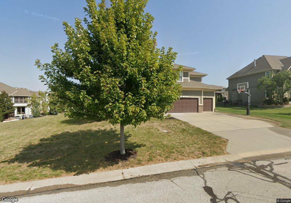
2720 NW Olmstead Dr Lees Summit, MO 64081
Estimated Value: $546,000 - $805,000
4
Beds
4
Baths
2,927
Sq Ft
$235/Sq Ft
Est. Value
About This Home
This home is located at 2720 NW Olmstead Dr, Lees Summit, MO 64081 and is currently estimated at $688,429, approximately $235 per square foot. 2720 NW Olmstead Dr is a home located in Jackson County with nearby schools including Cedar Creek Elementary School, Pleasant Lea Middle School, and Lee's Summit Senior High School.
Ownership History
Date
Name
Owned For
Owner Type
Purchase Details
Closed on
May 26, 2010
Sold by
Summit Custom Homes Llc
Bought by
Rooney Christopher M and Rooney Rachel E
Current Estimated Value
Home Financials for this Owner
Home Financials are based on the most recent Mortgage that was taken out on this home.
Original Mortgage
$319,000
Outstanding Balance
$213,289
Interest Rate
5%
Mortgage Type
New Conventional
Estimated Equity
$475,140
Purchase Details
Closed on
May 5, 2009
Sold by
Gale Communities Inc
Bought by
Summit Custom Homes Llc
Home Financials for this Owner
Home Financials are based on the most recent Mortgage that was taken out on this home.
Original Mortgage
$324,000
Interest Rate
4.77%
Mortgage Type
Construction
Create a Home Valuation Report for This Property
The Home Valuation Report is an in-depth analysis detailing your home's value as well as a comparison with similar homes in the area
Home Values in the Area
Average Home Value in this Area
Purchase History
| Date | Buyer | Sale Price | Title Company |
|---|---|---|---|
| Rooney Christopher M | -- | Chicago | |
| Summit Custom Homes Llc | -- | Chicago |
Source: Public Records
Mortgage History
| Date | Status | Borrower | Loan Amount |
|---|---|---|---|
| Open | Rooney Christopher M | $319,000 | |
| Previous Owner | Summit Custom Homes Llc | $324,000 |
Source: Public Records
Tax History
| Year | Tax Paid | Tax Assessment Tax Assessment Total Assessment is a certain percentage of the fair market value that is determined by local assessors to be the total taxable value of land and additions on the property. | Land | Improvement |
|---|---|---|---|---|
| 2025 | $6,990 | $111,323 | $18,795 | $92,528 |
| 2024 | $6,939 | $96,803 | $15,612 | $81,191 |
| 2023 | $6,939 | $96,804 | $16,806 | $79,998 |
| 2022 | $7,316 | $90,630 | $14,184 | $76,446 |
| 2021 | $7,468 | $90,630 | $14,184 | $76,446 |
| 2020 | $7,176 | $86,248 | $14,184 | $72,064 |
| 2019 | $6,980 | $86,248 | $14,184 | $72,064 |
| 2018 | $7,195 | $82,494 | $12,868 | $69,626 |
| 2017 | $7,195 | $82,494 | $12,868 | $69,626 |
| 2016 | $7,087 | $80,427 | $14,706 | $65,721 |
Source: Public Records
Map
Nearby Homes
- 129 NW Morton Dr
- 2809 NW Audubon Ln
- 321 NW Nutall Dr
- 2114 NW Killarney Ln
- 2635 NW Ashurst Ln
- 317 NW Lovins
- 316 NW Lovins
- 320 NW Lovins
- 321 NW Lovins
- 205 NW Lovins
- 321 NW Earle Ln
- 2828 SW Saddlewood Dr
- 316 NW Earle Ln
- 308 NW Earle Ln
- 325 NW Earle Ln
- 300 NW Earle Ln
- 216 SW Ansel Adams Dr
- 214 SW Roosevelt Ridge
- 248 SW Winterpark Cir
- 209 NW Cody Dr
- 2716 NW Olmstead Dr
- 2725 NW Thoreau Dr
- 2721 NW Thoreau Dr
- 117 NW Lewis Dr
- 2717 NW Thoreau Dr
- 2717 NW Olmstead Dr
- 2712 NW Olmstead Dr
- 2713 NW Olmstead Dr
- 2713 NW Thoreau Dr
- 113 NW Lewis Dr
- 120 NW Lewis Dr
- 116 NW Lewis Dr
- 2709 NW Olmstead Dr
- 2708 NW Olmstead Dr
- 2728 NW Thoreau Dr
- 2709 NW Thoreau Dr
- 124 NW Morton Ct
- 2720 NW Thoreau Dr
- 2716 NW Thoreau Dr
- 2724 NW Thoreau Dr
Your Personal Tour Guide
Ask me questions while you tour the home.