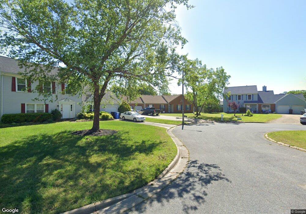
2721 Derry Dr Chesapeake, VA 23323
Deep Creek NeighborhoodEstimated Value: $416,189 - $442,000
3
Beds
2
Baths
1,600
Sq Ft
$268/Sq Ft
Est. Value
About This Home
This home is located at 2721 Derry Dr, Chesapeake, VA 23323 and is currently estimated at $428,547, approximately $267 per square foot. 2721 Derry Dr is a home located in Chesapeake City with nearby schools including Grassfield Elementary School, Hugo A. Owens Middle, and Grassfield High School.
Ownership History
Date
Name
Owned For
Owner Type
Purchase Details
Closed on
Sep 4, 2016
Sold by
Worley Donald W and Worley Nicole L
Bought by
Cannon Ii Barry M and Cannon Stacy M
Current Estimated Value
Home Financials for this Owner
Home Financials are based on the most recent Mortgage that was taken out on this home.
Original Mortgage
$199,900
Outstanding Balance
$159,929
Interest Rate
3.48%
Mortgage Type
New Conventional
Estimated Equity
$268,618
Purchase Details
Closed on
Mar 28, 2005
Sold by
Ausitn Melvin C
Bought by
Worley Donald W
Home Financials for this Owner
Home Financials are based on the most recent Mortgage that was taken out on this home.
Original Mortgage
$236,988
Interest Rate
5.94%
Mortgage Type
VA
Create a Home Valuation Report for This Property
The Home Valuation Report is an in-depth analysis detailing your home's value as well as a comparison with similar homes in the area
Home Values in the Area
Average Home Value in this Area
Purchase History
| Date | Buyer | Sale Price | Title Company |
|---|---|---|---|
| Cannon Ii Barry M | $259,900 | Attorney | |
| Worley Donald W | $232,000 | -- |
Source: Public Records
Mortgage History
| Date | Status | Borrower | Loan Amount |
|---|---|---|---|
| Open | Cannon Ii Barry M | $199,900 | |
| Previous Owner | Worley Donald W | $236,988 |
Source: Public Records
Tax History
| Year | Tax Paid | Tax Assessment Tax Assessment Total Assessment is a certain percentage of the fair market value that is determined by local assessors to be the total taxable value of land and additions on the property. | Land | Improvement |
|---|---|---|---|---|
| 2025 | $3,578 | $373,700 | $185,000 | $188,700 |
| 2024 | $3,578 | $354,300 | $165,000 | $189,300 |
| 2023 | $3,129 | $343,300 | $135,000 | $208,300 |
| 2022 | $3,122 | $309,100 | $125,000 | $184,100 |
| 2021 | $2,806 | $267,200 | $100,000 | $167,200 |
| 2020 | $2,683 | $255,500 | $90,000 | $165,500 |
| 2019 | $2,648 | $252,200 | $90,000 | $162,200 |
| 2018 | $2,562 | $244,000 | $90,000 | $154,000 |
| 2017 | $2,588 | $246,500 | $85,000 | $161,500 |
| 2016 | $2,573 | $245,000 | $85,000 | $160,000 |
| 2015 | $2,490 | $237,100 | $80,000 | $157,100 |
| 2014 | $2,368 | $225,500 | $80,000 | $145,500 |
Source: Public Records
Map
Nearby Homes
- 633 Creekwood Dr
- 324 Mobile Dr
- 2602 Cecilia Terrace
- 324 Big Pond Ln
- 2825 Ridgeboard Place
- 212 Andiron Arch
- 2761 Cedar Rd
- 253 George Washington Hwy S
- 3.7AC Cedar Rd
- 185 George Washington Hwy S
- 502 Willow Bend Dr
- 2601 Sawtooth Cir
- 102 Diamond Ave Unit D
- 23 Diamond Ave
- 3009 Patrick Henry Dr
- 304 Quail Meadow Dr
- 808 Winter King Ct
- Lot 18 Douglas Ave
- Lot 19 Douglas Ave
- 500 Hermit Thrush Way
- 2725 Derry Dr
- 2709 Derry Dr
- 2708 Deerbrook Ct
- 2729 Derry Dr
- 2800 Gunston Bridge Ct
- 2705 Derry Dr
- 2704 Deerbrook Ct
- 2712 Derry Dr
- 2716 Derry Dr
- 2804 Gunston Bridge Ct
- 2720 Derry Dr
- 2724 Derry Dr
- 2708 Derry Dr
- 2709 Deerbrook Ct
- 2728 Derry Dr
- 2735 Derry Dr
- 2801 Gunston Bridge Ct
- 2704 Derry Dr
- 2701 Derry Dr
- 2700 Deerbrook Ct
Your Personal Tour Guide
Ask me questions while you tour the home.