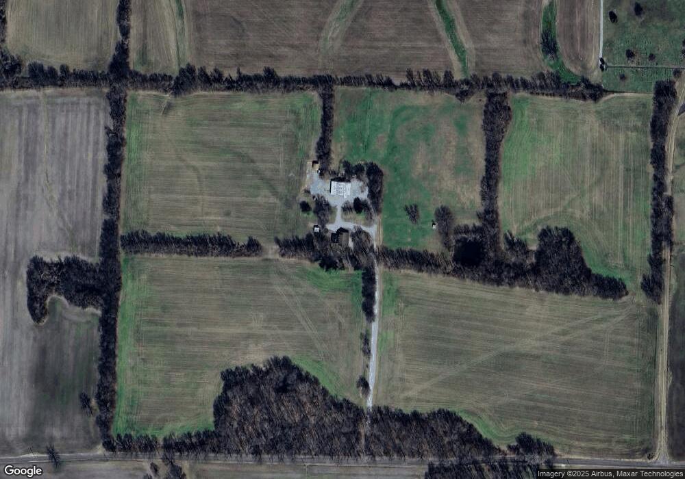
2722 Armstrong Rd Union City, TN 38261
Estimated Value: $384,000 - $975,000
--
Bed
4
Baths
2,739
Sq Ft
$251/Sq Ft
Est. Value
About This Home
This home is located at 2722 Armstrong Rd, Union City, TN 38261 and is currently estimated at $687,747, approximately $251 per square foot. 2722 Armstrong Rd is a home located in Obion County.
Ownership History
Date
Name
Owned For
Owner Type
Purchase Details
Closed on
May 30, 2008
Sold by
Parker J B
Bought by
Ty Parker
Current Estimated Value
Home Financials for this Owner
Home Financials are based on the most recent Mortgage that was taken out on this home.
Original Mortgage
$475,000
Interest Rate
6.02%
Mortgage Type
Cash
Purchase Details
Closed on
Jan 16, 1981
Bought by
Parker Parker J and Parker Karen P
Purchase Details
Closed on
Jan 3, 1981
Purchase Details
Closed on
Jan 2, 1981
Purchase Details
Closed on
Jan 1, 1981
Create a Home Valuation Report for This Property
The Home Valuation Report is an in-depth analysis detailing your home's value as well as a comparison with similar homes in the area
Home Values in the Area
Average Home Value in this Area
Purchase History
| Date | Buyer | Sale Price | Title Company |
|---|---|---|---|
| Ty Parker | $475,000 | -- | |
| Parker Parker J | -- | -- | |
| -- | $196,000 | -- | |
| -- | -- | -- | |
| -- | $18,800 | -- |
Source: Public Records
Mortgage History
| Date | Status | Borrower | Loan Amount |
|---|---|---|---|
| Closed | Not Available | $475,000 |
Source: Public Records
Tax History Compared to Growth
Tax History
| Year | Tax Paid | Tax Assessment Tax Assessment Total Assessment is a certain percentage of the fair market value that is determined by local assessors to be the total taxable value of land and additions on the property. | Land | Improvement |
|---|---|---|---|---|
| 2025 | $1,839 | $133,225 | $0 | $0 |
| 2024 | $1,839 | $133,225 | $45,750 | $87,475 |
| 2023 | $1,839 | $133,225 | $45,750 | $87,475 |
| 2022 | $1,675 | $88,150 | $37,750 | $50,400 |
| 2021 | $1,675 | $88,150 | $37,750 | $50,400 |
| 2020 | $1,675 | $88,150 | $37,750 | $50,400 |
| 2019 | $1,675 | $88,150 | $37,750 | $50,400 |
| 2018 | $1,680 | $88,150 | $37,750 | $50,400 |
| 2017 | $1,679 | $83,750 | $29,550 | $54,200 |
| 2016 | $1,679 | $83,750 | $29,550 | $54,200 |
| 2015 | $1,679 | $83,750 | $29,550 | $54,200 |
| 2014 | $1,679 | $83,750 | $29,550 | $54,200 |
Source: Public Records
Map
Nearby Homes
- 5680 Floyd Shuck Rd
- 370 S Thompson St
- 1535 Lattus Ln
- 874 Gum St
- 915 Gum St
- 3611 W Main St
- 3305 Cottonwood Dr
- 3412 Lakeview Dr
- 903 Sherwood Dr
- 0 Mosswood Dr Unit RRA45928
- 0 Mosswood Dr Unit 44704
- 841 Mosswood Dr
- 604 Denver Dr
- 2703 Salem Dr
- 1449 Forest Dr
- 210 Graham St
- 1414 Forest Dr
- 922 N Division St
- 560 Todd Thomas Rd
- 501 N 1st St
- 2773 Armstrong Rd
- 5285 Mount Zion Rd
- 5061 Mount Zion Rd
- 5778 Mount Zion Rd
- 5237 Mount Zion Rd
- 5258 Mount Zion Rd
- 5246 Mount Zion Rd
- 5473 Floyd Shuck Rd
- 5838 Mount Zion Rd
- 5196 Mount Zion Rd
- 5168 Mount Zion Rd
- 2422 State Route 116 W
- 3115 Armstrong Rd
- 2567 E State Line Rd
- 2555 E State Line Rd
- 2726 State Route 116 W
- 2519 E State Line Rd
- 5104 Mount Zion Rd
- 2190 Armstrong Rd
- 5668 Floyd Shuck Rd
