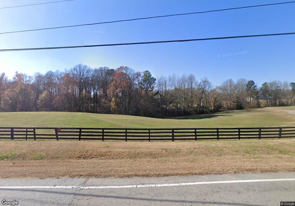
2730 Camp Branch Rd Buford, GA 30519
Estimated Value: $1,639,155 - $2,635,000
7
Beds
7
Baths
8,962
Sq Ft
$229/Sq Ft
Est. Value
About This Home
This home is located at 2730 Camp Branch Rd, Buford, GA 30519 and is currently estimated at $2,055,385, approximately $229 per square foot. 2730 Camp Branch Rd is a home located in Gwinnett County with nearby schools including Patrick Elementary School, Glenn C. Jones Middle School, and Oak Hill Classical School.
Create a Home Valuation Report for This Property
The Home Valuation Report is an in-depth analysis detailing your home's value as well as a comparison with similar homes in the area
Home Values in the Area
Average Home Value in this Area
Tax History Compared to Growth
Tax History
| Year | Tax Paid | Tax Assessment Tax Assessment Total Assessment is a certain percentage of the fair market value that is determined by local assessors to be the total taxable value of land and additions on the property. | Land | Improvement |
|---|---|---|---|---|
| 2024 | $21,165 | $711,920 | $175,040 | $536,880 |
| 2023 | $21,165 | $711,920 | $175,040 | $536,880 |
| 2022 | $16,349 | $506,040 | $91,880 | $414,160 |
| 2021 | $16,684 | $506,040 | $91,880 | $414,160 |
| 2020 | $14,635 | $623,440 | $91,880 | $531,560 |
| 2019 | $14,175 | $412,400 | $70,560 | $341,840 |
| 2018 | $14,218 | $412,400 | $70,560 | $341,840 |
| 2016 | $14,235 | $412,400 | $70,560 | $341,840 |
| 2015 | $14,387 | $412,400 | $70,560 | $341,840 |
| 2014 | -- | $384,480 | $54,800 | $329,680 |
Source: Public Records
Map
Nearby Homes
- 2760 Camp Branch Rd
- 2802 Nettle Ln
- 2655 Camp Branch Rd
- 2508 Morgan Chase Dr
- 2841 Trailing Ivy Way
- 2729 Morgan Glen Rd
- 2500 Morgan Chase Dr
- 2805 Ivy Hill Dr
- 3009 Morgan Spring Trail
- 3049 Morgan Spring Trail
- 2856 Habibi Ct
- Hawkins Plan at Towns at Ivy Creek
- Smyrna Plan at Towns at Ivy Creek
- 3045 Camp Branch Rd
- 2299 Misty Ivy Ct
- 2687 Black Fox Ct
- 2557 Woodford Ln
- 2614 Ivy Plantation Dr
- 2624 Ivy Plantation Dr
- 2604 Ivy Plantation Dr
- 2634 Ivy Plantation Dr
- 2684 Camp Branch Rd
- 2674 Camp Branch Rd Unit 2
- 2674 Camp Branch Rd
- 2619 Ivy Plantation Dr
- 2731 Camp Branch Rd
- 0 Ginger Dr Unit 8326936
- 0 Ginger Dr Unit 8315422
- 0 Ginger Dr Unit 8157718
- 0 Ginger Dr Unit 8031756
- 0 Ginger Dr Unit 8019733
- 0 Ginger Dr Unit 8284009
- 0 Ginger Dr Unit 7615679
- 0 Ginger Dr Unit 7510291
- 0 Ginger Dr Unit 7482923
- 0 Ginger Dr Unit 7309946
- 0 Ginger Dr Unit 9011193
