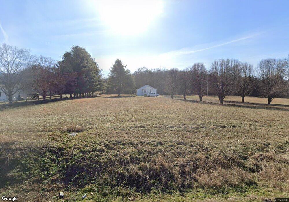
2735 Browning Branch Rd Bethpage, TN 37022
Estimated Value: $201,808 - $397,000
--
Bed
1
Bath
1,192
Sq Ft
$253/Sq Ft
Est. Value
About This Home
This home is located at 2735 Browning Branch Rd, Bethpage, TN 37022 and is currently estimated at $301,452, approximately $252 per square foot. 2735 Browning Branch Rd is a home located in Trousdale County with nearby schools including Trousdale County Elementary School, Trousdale County High School, and Jim Satterfield Middle School.
Ownership History
Date
Name
Owned For
Owner Type
Purchase Details
Closed on
Feb 9, 1999
Bought by
Byrd Dewayne and Byrd Susan Byrd
Current Estimated Value
Purchase Details
Closed on
Dec 5, 1998
Bought by
Mcenery Robert and Mcenery Paula Mcenery
Purchase Details
Closed on
Aug 30, 1991
Bought by
Simpson Roy E and Simpson Joan Y
Purchase Details
Closed on
Dec 29, 1987
Bought by
Shalibo Oliver
Create a Home Valuation Report for This Property
The Home Valuation Report is an in-depth analysis detailing your home's value as well as a comparison with similar homes in the area
Home Values in the Area
Average Home Value in this Area
Purchase History
| Date | Buyer | Sale Price | Title Company |
|---|---|---|---|
| Byrd Dewayne | $33,000 | -- | |
| Mcenery Robert | $27,000 | -- | |
| Simpson Roy E | $18,000 | -- | |
| Shalibo Oliver | -- | -- |
Source: Public Records
Tax History Compared to Growth
Tax History
| Year | Tax Paid | Tax Assessment Tax Assessment Total Assessment is a certain percentage of the fair market value that is determined by local assessors to be the total taxable value of land and additions on the property. | Land | Improvement |
|---|---|---|---|---|
| 2024 | $740 | $37,975 | $20,200 | $17,775 |
| 2023 | $740 | $37,975 | $20,200 | $17,775 |
| 2022 | $736 | $37,975 | $20,200 | $17,775 |
| 2021 | $635 | $37,975 | $20,200 | $17,775 |
| 2020 | $635 | $26,050 | $10,575 | $15,475 |
| 2019 | $635 | $26,050 | $10,575 | $15,475 |
| 2018 | $586 | $20,000 | $8,125 | $11,875 |
| 2017 | $509 | $17,700 | $8,125 | $9,575 |
| 2016 | $519 | $17,700 | $8,125 | $9,575 |
| 2015 | $552 | $17,700 | $8,125 | $9,575 |
| 2014 | $569 | $18,225 | $8,125 | $10,100 |
Source: Public Records
Map
Nearby Homes
- 440 Honeysuckle Lane Rd
- 0 Browning Branch Rd Unit RTC2808978
- 4605 Browning Branch Rd
- 0 Crenshaw Rd
- 0 Gravel Hill Rd Unit RTC2882308
- 1495 Wolf Hill Rd
- 630 Bridle Path Ln
- 210 Crenshaw Rd
- 1815 Sulphur College Rd
- 165 Crenshaw Rd
- 135 Crenshaw Rd
- 115 Crenshaw Rd
- 95 Crenshaw Rd
- 3945 Highway 25 W
- 25 Crenshaw Rd
- 2200 Tennessee 141
- 0 Harris Branch Rd
- 0 Chipman Rd
- 7040 Highway 231 N
- 20 Scenic Ln
- 125 Snake Hollow Rd
- 2705 Browning Branch Rd
- 0 Snake Hollow Rd Unit 1805458
- 0 Snake Hollow Rd Unit 1805438
- 2665 Browning Branch Rd
- 40 Snake Hollow Rd
- 80 Snake Hollow Rd
- 2625 Browning Branch Rd
- 2585 Browning Branch Rd
- 2525 Browning Branch Rd
- 165 Snake Hollow Rd
- 2495 Browning Branch Rd
- 125 Aaron Harper Ln
- 295 Snake Hollow Rd
- 2465 Browning Branch Rd
- 2425 Browning Branch Rd
- 365 Snake Hollow Rd
- 3090 Browning Branch Rd
- 3090 Browning Branch Rd
- 500 Honeysuckle Lane Rd