2738 Highway 471 Brandon, MS 39047
Estimated Value: $462,000 - $760,000
4
Beds
3
Baths
5,001
Sq Ft
$123/Sq Ft
Est. Value
About This Home
This home is located at 2738 Highway 471, Brandon, MS 39047 and is currently estimated at $614,701, approximately $122 per square foot. 2738 Highway 471 is a home located in Rankin County with nearby schools including Northshore Elementary School, Northwest Rankin Middle School, and Northwest Rankin High School.
Ownership History
Date
Name
Owned For
Owner Type
Purchase Details
Closed on
Oct 17, 2023
Sold by
Foreman Robert M
Bought by
Hinton Dusty Lee
Current Estimated Value
Create a Home Valuation Report for This Property
The Home Valuation Report is an in-depth analysis detailing your home's value as well as a comparison with similar homes in the area
Home Values in the Area
Average Home Value in this Area
Purchase History
| Date | Buyer | Sale Price | Title Company |
|---|---|---|---|
| Hinton Dusty Lee | -- | None Listed On Document | |
| Hinton Dusty Lee | -- | None Listed On Document | |
| Hinton Dusty Lee | -- | None Listed On Document |
Source: Public Records
Tax History Compared to Growth
Tax History
| Year | Tax Paid | Tax Assessment Tax Assessment Total Assessment is a certain percentage of the fair market value that is determined by local assessors to be the total taxable value of land and additions on the property. | Land | Improvement |
|---|---|---|---|---|
| 2024 | $4,393 | $43,577 | $0 | $0 |
| 2023 | $3,692 | $41,778 | $0 | $0 |
| 2022 | $4,137 | $41,778 | $0 | $0 |
| 2021 | $4,184 | $42,223 | $0 | $0 |
| 2020 | $4,184 | $42,223 | $0 | $0 |
| 2019 | $3,720 | $36,895 | $0 | $0 |
| 2018 | $3,647 | $36,895 | $0 | $0 |
| 2017 | $3,647 | $36,895 | $0 | $0 |
| 2016 | $3,363 | $35,926 | $0 | $0 |
| 2015 | $3,363 | $35,926 | $0 | $0 |
| 2014 | $3,287 | $35,926 | $0 | $0 |
| 2013 | -- | $35,926 | $0 | $0 |
Source: Public Records
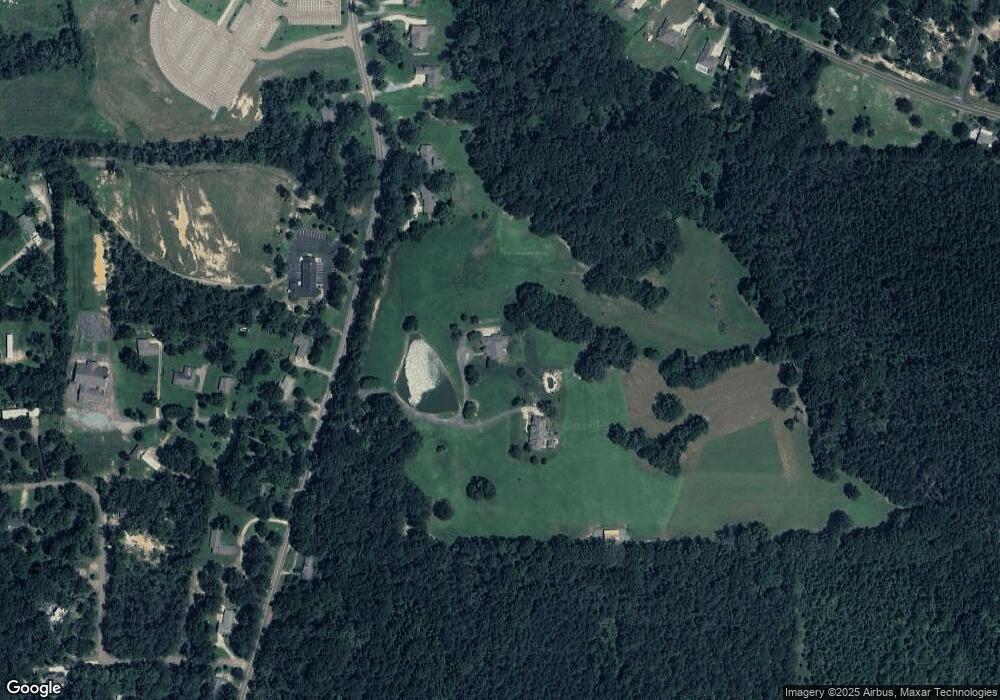
Map
Nearby Homes
- 2713 Highway 471
- 130 Horseshoe Cir
- 205 Wellington Way
- 131 Caledonian Blvd
- 0 Hamilton Place Unit 4122193
- 108 Holly Bush Rd
- 128 Mclaurin Cove
- 542 Holly Bush Rd
- 108 Holly Bush Place
- 150 Pine Ridge Cir
- 116 Holmar Dr
- 118 Bonne Vie Dr
- 3003 E Fairway Dr
- 118 Pine Ridge Cir
- 132 Pine Ridge Cir
- 124 Holmar Dr
- 147 Basswood Cir
- 127 Bonne Vie Dr
- 101 Sandstone Dr
- 2150 W Fairway Dr
- 2730 Highway 471
- 2768 Highway 471
- 2745 Highway 471
- 2772 Highway 471
- 2741 Highway 471
- 0000 Fannin Landing Cir
- 110 Quimbly Rd
- 2784 Highway 471 Unit 1
- 2784 Highway 471
- 2784 Hwy 471
- 2781 Highway 471
- 2722 Highway 471
- 146 Mount Helm Rd
- 122 Quimbly Rd
- 2790 Highway 471 Unit 2
- 2790 Highway 471
- 2790 Hwy 471
- 140 Mount Helm Rd Unit 4
- 140 Mount Helm Rd
- 1857 Highway 471